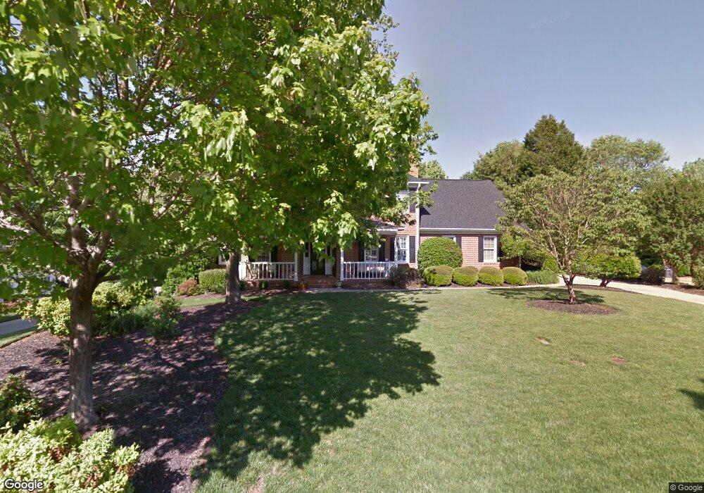
104 River Point Ct Simpsonville, SC 29681
Estimated Value: $677,293 - $771,000
4
Beds
3
Baths
3,508
Sq Ft
$209/Sq Ft
Est. Value
About This Home
This home is located at 104 River Point Ct, Simpsonville, SC 29681 and is currently estimated at $731,573, approximately $208 per square foot. 104 River Point Ct is a home located in Greenville County with nearby schools including Monarch Elementary, Mauldin Middle School, and Mauldin High School.
Ownership History
Date
Name
Owned For
Owner Type
Purchase Details
Closed on
Sep 9, 2015
Sold by
Messman Michael D and Messman Jonne R
Bought by
Godfrey David D and Godfrey Megan J
Current Estimated Value
Home Financials for this Owner
Home Financials are based on the most recent Mortgage that was taken out on this home.
Original Mortgage
$100,000
Outstanding Balance
$40,199
Interest Rate
4.02%
Mortgage Type
New Conventional
Estimated Equity
$691,374
Purchase Details
Closed on
Mar 23, 2007
Sold by
Nelson Gary L and Nelson Katrina B
Bought by
Messman Michael D and Messman Joanne R
Create a Home Valuation Report for This Property
The Home Valuation Report is an in-depth analysis detailing your home's value as well as a comparison with similar homes in the area
Home Values in the Area
Average Home Value in this Area
Purchase History
| Date | Buyer | Sale Price | Title Company |
|---|---|---|---|
| Godfrey David D | $385,000 | -- | |
| Messman Michael D | $407,500 | None Available |
Source: Public Records
Mortgage History
| Date | Status | Borrower | Loan Amount |
|---|---|---|---|
| Open | Godfrey David D | $100,000 |
Source: Public Records
Tax History Compared to Growth
Tax History
| Year | Tax Paid | Tax Assessment Tax Assessment Total Assessment is a certain percentage of the fair market value that is determined by local assessors to be the total taxable value of land and additions on the property. | Land | Improvement |
|---|---|---|---|---|
| 2024 | $2,656 | $16,950 | $2,800 | $14,150 |
| 2023 | $2,656 | $16,950 | $2,800 | $14,150 |
| 2022 | $2,588 | $16,950 | $2,800 | $14,150 |
| 2021 | $2,590 | $16,950 | $2,800 | $14,150 |
| 2020 | $2,397 | $14,980 | $2,400 | $12,580 |
| 2019 | $2,398 | $14,980 | $2,400 | $12,580 |
| 2018 | $2,458 | $14,980 | $2,400 | $12,580 |
| 2017 | $2,461 | $14,980 | $2,400 | $12,580 |
| 2016 | $2,380 | $374,620 | $60,000 | $314,620 |
| 2015 | $2,360 | $370,560 | $60,000 | $310,560 |
| 2014 | $2,100 | $346,010 | $50,000 | $296,010 |
Source: Public Records
Map
Nearby Homes
- 341 Parkside Dr
- 104 Gilden Ln
- 409 Heather Falls Ln
- 303 Latrobe Dr
- 1 Gilder Trace
- 406 Latrobe Dr
- 206 Waverly Hall Ln
- 205 Waverly Hall Ln
- 206 Squires Creek Rd
- 108 Brown Ln
- 805 Carriage Hill Rd
- 217 Lovelace Ct
- 3 Chadbourne Ln
- 135 Adams Creek Place
- 6 Mendenhall Ct
- 317 Squires Creek Rd
- 220 Waters Run Ln
- 6 Digby Place
- 401 Crestridge Dr
- 16 Paddock Run Ln
- 106 River Point Ct
- 102 River Point Ct
- 209 River Walk Blvd
- 207 River Walk Blvd
- 207 River Walk Ct
- 103 River Point Ct
- 211 River Walk Blvd
- 205 River Walk Blvd
- 108 River Point Ct
- 100 River Point Ct
- 101 River Point Ct
- 105 River Point Ct
- 703 River Walk Dr
- 213 River Walk Blvd
- 203 River Walk Ct
- 601 River Walk Dr
- 110 River Point Ct
- 801 River Walk Dr
- 212 River Walk Dr
- 210 River Walk Blvd