104 Rocky Point Rd Bourne, MA 2532
Estimated Value: $2,921,000 - $3,659,000
4
Beds
4
Baths
3,518
Sq Ft
$931/Sq Ft
Est. Value
About This Home
This home is located at 104 Rocky Point Rd, Bourne, MA 2532 and is currently estimated at $3,276,011, approximately $931 per square foot. 104 Rocky Point Rd is a home located in Barnstable County with nearby schools including Bourne High School and St Margaret Regional School.
Ownership History
Date
Name
Owned For
Owner Type
Purchase Details
Closed on
Jan 10, 2020
Sold by
Curran Patrick
Bought by
Patrick D Curran 2012 T D and Patrick Curran
Current Estimated Value
Purchase Details
Closed on
Aug 25, 2017
Sold by
Whalen James M
Bought by
Curran Patrick
Home Financials for this Owner
Home Financials are based on the most recent Mortgage that was taken out on this home.
Original Mortgage
$1,756,000
Interest Rate
2.75%
Mortgage Type
Purchase Money Mortgage
Purchase Details
Closed on
May 3, 1999
Sold by
Roney Martha S
Bought by
Whalen James M and Whalen Susan D
Home Financials for this Owner
Home Financials are based on the most recent Mortgage that was taken out on this home.
Original Mortgage
$872,000
Interest Rate
6.95%
Mortgage Type
Purchase Money Mortgage
Create a Home Valuation Report for This Property
The Home Valuation Report is an in-depth analysis detailing your home's value as well as a comparison with similar homes in the area
Purchase History
| Date | Buyer | Sale Price | Title Company |
|---|---|---|---|
| Patrick D Curran 2012 T D | -- | None Available | |
| Curran Patrick | $2,195,000 | -- | |
| Whalen James M | $790,000 | -- | |
| Whalen James M | $790,000 | -- |
Source: Public Records
Mortgage History
| Date | Status | Borrower | Loan Amount |
|---|---|---|---|
| Previous Owner | Curran Patrick | $1,756,000 | |
| Previous Owner | Whalen James M | $872,000 |
Source: Public Records
Tax History
| Year | Tax Paid | Tax Assessment Tax Assessment Total Assessment is a certain percentage of the fair market value that is determined by local assessors to be the total taxable value of land and additions on the property. | Land | Improvement |
|---|---|---|---|---|
| 2025 | $21,992 | $2,815,900 | $2,067,800 | $748,100 |
| 2024 | $21,116 | $2,632,900 | $1,969,200 | $663,700 |
| 2023 | $21,270 | $2,414,300 | $1,742,800 | $671,500 |
| 2022 | $21,535 | $2,134,300 | $1,542,300 | $592,000 |
| 2021 | $20,923 | $1,942,700 | $1,403,600 | $539,100 |
| 2020 | $20,618 | $1,919,700 | $1,390,200 | $529,500 |
| 2019 | $19,863 | $1,889,900 | $1,390,200 | $499,700 |
| 2018 | $17,685 | $1,677,900 | $1,324,200 | $353,700 |
| 2017 | $16,045 | $1,557,800 | $1,254,000 | $303,800 |
| 2016 | $15,757 | $1,550,900 | $1,254,000 | $296,900 |
| 2015 | $15,618 | $1,550,900 | $1,254,000 | $296,900 |
Source: Public Records
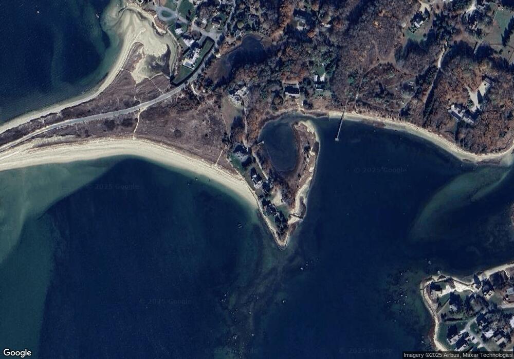
Map
Nearby Homes
- 35 Benedict Rd
- 203 County Rd
- 566 Shore Rd
- 60 Bourne Neck Dr
- 5 Zoli Ln
- 13 Laurel Hill Ct
- 12 Turnberry Rd Unit 12
- 5 Sea Knoll Ct
- 16 Amberwood Ct
- 4 Hollyhock Knoll Ct Unit 4
- 4 Hollyhock Knoll Ct Unit 4
- 46 Holt Rd Unit B
- 46 Holt Rd
- 1 Hollyhock Knoll Ct Unit 1
- 40-A Lafayette Ave
- 44 Cotuit Rd
- 4 Harbor Hill Dr
- 248 Great Neck Rd
- 4 Van Bummel Rd
- 3 Fairway Dr Unit F
- 104 Rocky Point Rd
- 96-80 Rocky Pt Rd
- 96-80 Rocky Point
- 96 Rocky Point Rd
- 112 Rocky Point Rd
- 112 Rocky Point Rd
- 90 Rocky Point Rd
- 81 Rocky Point Rd
- 80 Rocky Point Rd
- 73 Rocky Point Rd
- 80 Rocky Point Rd
- 71 Rocky Point Rd
- 77 Mashnee Rd
- 76 Mashnee Rd
- 76 Mashnee Rd
- 73 Mashnee Rd
- 5 Spindrift Ln
- 5 Spindrift Ln Unit WINTER
- 5 Spindrift Ln
- 88 Monument Neck Rd
Your Personal Tour Guide
Ask me questions while you tour the home.