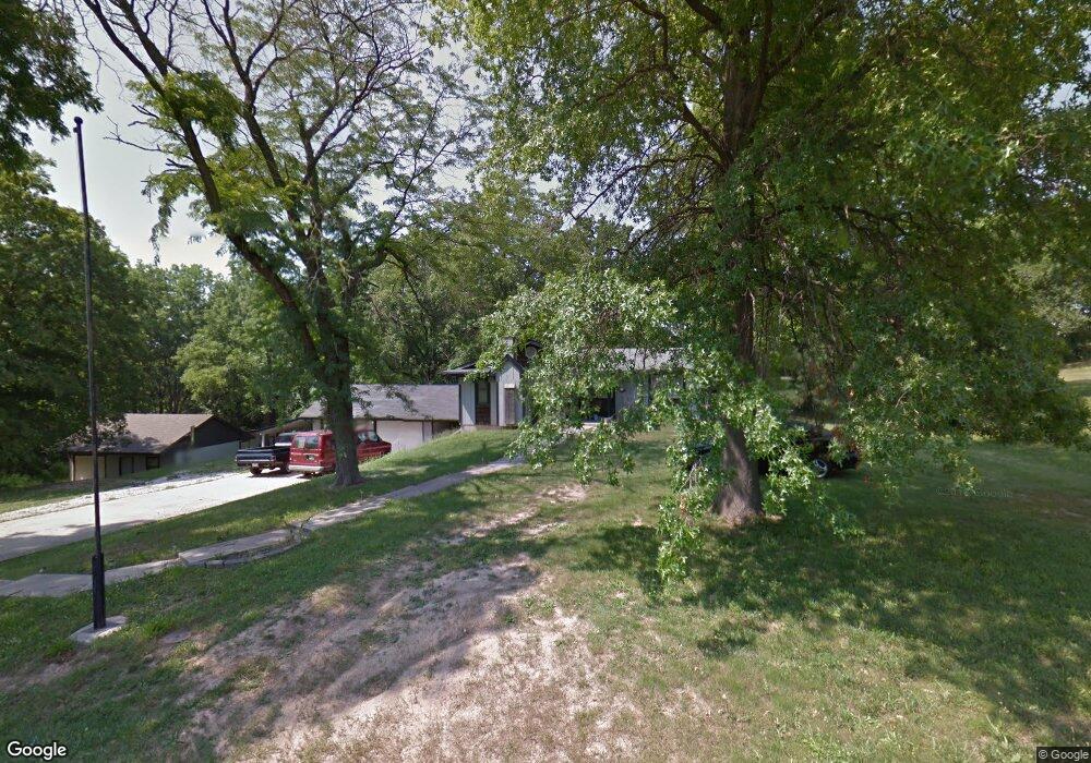
104 W Kansas St Lansing, KS 66043
Estimated Value: $250,000 - $292,385
3
Beds
2
Baths
1,162
Sq Ft
$236/Sq Ft
Est. Value
About This Home
This home is located at 104 W Kansas St, Lansing, KS 66043 and is currently estimated at $273,846, approximately $235 per square foot. 104 W Kansas St is a home located in Leavenworth County with nearby schools including Lansing Elementary School, Lansing Middle 6-8, and Lansing High 9-12.
Ownership History
Date
Name
Owned For
Owner Type
Purchase Details
Closed on
Aug 22, 2025
Sold by
Wynkoop Clyde Arthur and Wynkoop Kimberly K
Bought by
Velocity Capital Llc
Current Estimated Value
Purchase Details
Closed on
Aug 1, 1998
Bought by
Wynkoop Clyde Arthur
Home Financials for this Owner
Home Financials are based on the most recent Mortgage that was taken out on this home.
Original Mortgage
$149,860
Interest Rate
6.97%
Mortgage Type
New Conventional
Create a Home Valuation Report for This Property
The Home Valuation Report is an in-depth analysis detailing your home's value as well as a comparison with similar homes in the area
Home Values in the Area
Average Home Value in this Area
Purchase History
| Date | Buyer | Sale Price | Title Company |
|---|---|---|---|
| Velocity Capital Llc | -- | Tallgrass Title | |
| Wynkoop Clyde Arthur | $54,375 | -- |
Source: Public Records
Mortgage History
| Date | Status | Borrower | Loan Amount |
|---|---|---|---|
| Previous Owner | Wynkoop Clyde Arthur | $149,860 | |
| Closed | Wynkoop Clyde Arthur | $162,000 |
Source: Public Records
Tax History Compared to Growth
Tax History
| Year | Tax Paid | Tax Assessment Tax Assessment Total Assessment is a certain percentage of the fair market value that is determined by local assessors to be the total taxable value of land and additions on the property. | Land | Improvement |
|---|---|---|---|---|
| 2025 | $3,800 | $30,548 | $8,693 | $21,855 |
| 2024 | $3,542 | $28,549 | $10,516 | $18,033 |
| 2023 | $3,542 | $27,451 | $10,516 | $16,935 |
| 2022 | $3,406 | $24,955 | $6,738 | $18,217 |
| 2021 | $3,226 | $22,483 | $5,894 | $16,589 |
| 2020 | $3,070 | $21,068 | $5,652 | $15,416 |
| 2019 | $2,902 | $19,906 | $5,307 | $14,599 |
| 2018 | $2,461 | $16,934 | $5,196 | $11,738 |
| 2017 | $2,278 | $15,662 | $5,196 | $10,466 |
| 2016 | $2,256 | $15,507 | $5,196 | $10,311 |
| 2015 | $2,249 | $15,507 | $5,196 | $10,311 |
| 2014 | $2,203 | $15,507 | $5,196 | $10,311 |
Source: Public Records
Map
Nearby Homes
- 124 S Main St
- 202 S Main St
- 209 E Kay St
- 506 1st Terrace
- 129 Brookwood St
- 218 E Kay St
- 610 Meadowlark Rd
- 527 S Valley Dr
- 261 Holiday Dr
- 102 S 3rd Ct
- 268 Holiday Dr
- 415 Fairlane St
- 73 Continental Dr
- 512 Fairlane St
- 77 Continental Dr
- 319 Holiday Dr
- 624 S Bittersweet Ln
- 513 Forestglen Ln
- 722 Bittersweet Rd
- 706 N 2nd St