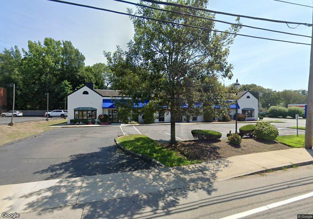
104 Worcester St Natick, MA 01760
Estimated Value: $5,370,585
Studio
--
Bath
10,838
Sq Ft
$496/Sq Ft
Est. Value
About This Home
This home is located at 104 Worcester St, Natick, MA 01760 and is currently estimated at $5,370,585, approximately $495 per square foot. 104 Worcester St is a home located in Middlesex County with nearby schools including Natick High School, Lilja Elementary School, and Wilson Middle School.
Ownership History
Date
Name
Owned For
Owner Type
Purchase Details
Closed on
Jun 30, 2015
Sold by
Ferreira Antonio and Greenberg Howard I
Bought by
104 Natick Realty Llc
Current Estimated Value
Home Financials for this Owner
Home Financials are based on the most recent Mortgage that was taken out on this home.
Original Mortgage
$2,240,000
Outstanding Balance
$1,745,398
Interest Rate
3.84%
Mortgage Type
Commercial
Estimated Equity
$3,644,689
Create a Home Valuation Report for This Property
The Home Valuation Report is an in-depth analysis detailing your home's value as well as a comparison with similar homes in the area
Home Values in the Area
Average Home Value in this Area
Purchase History
| Date | Buyer | Sale Price | Title Company |
|---|---|---|---|
| 104 Natick Realty Llc | $2,800,000 | -- | |
| Ferreira Antonio | -- | -- |
Source: Public Records
Mortgage History
| Date | Status | Borrower | Loan Amount |
|---|---|---|---|
| Open | Ferreira Antonio | $2,240,000 | |
| Closed | 104 Natick Realty Llc | $2,240,000 |
Source: Public Records
Tax History
| Year | Tax Paid | Tax Assessment Tax Assessment Total Assessment is a certain percentage of the fair market value that is determined by local assessors to be the total taxable value of land and additions on the property. | Land | Improvement |
|---|---|---|---|---|
| 2025 | $28,830 | $2,410,500 | $1,111,900 | $1,298,600 |
| 2024 | $29,553 | $2,410,500 | $1,111,900 | $1,298,600 |
| 2023 | $30,469 | $2,410,500 | $1,060,200 | $1,350,300 |
| 2022 | $32,156 | $2,410,500 | $1,060,200 | $1,350,300 |
| 2021 | $5,949 | $2,575,400 | $1,060,200 | $1,515,200 |
| 2020 | $35,051 | $2,575,400 | $1,060,200 | $1,515,200 |
| 2019 | $32,733 | $2,575,400 | $1,060,200 | $1,515,200 |
| 2018 | $6,122 | $2,420,600 | $978,700 | $1,441,900 |
| 2017 | $5,299 | $2,063,900 | $978,700 | $1,085,200 |
| 2016 | $21,719 | $1,600,500 | $978,700 | $621,800 |
| 2015 | $29,619 | $2,143,200 | $978,700 | $1,164,500 |
Source: Public Records
Map
Nearby Homes
Your Personal Tour Guide
Ask me questions while you tour the home.