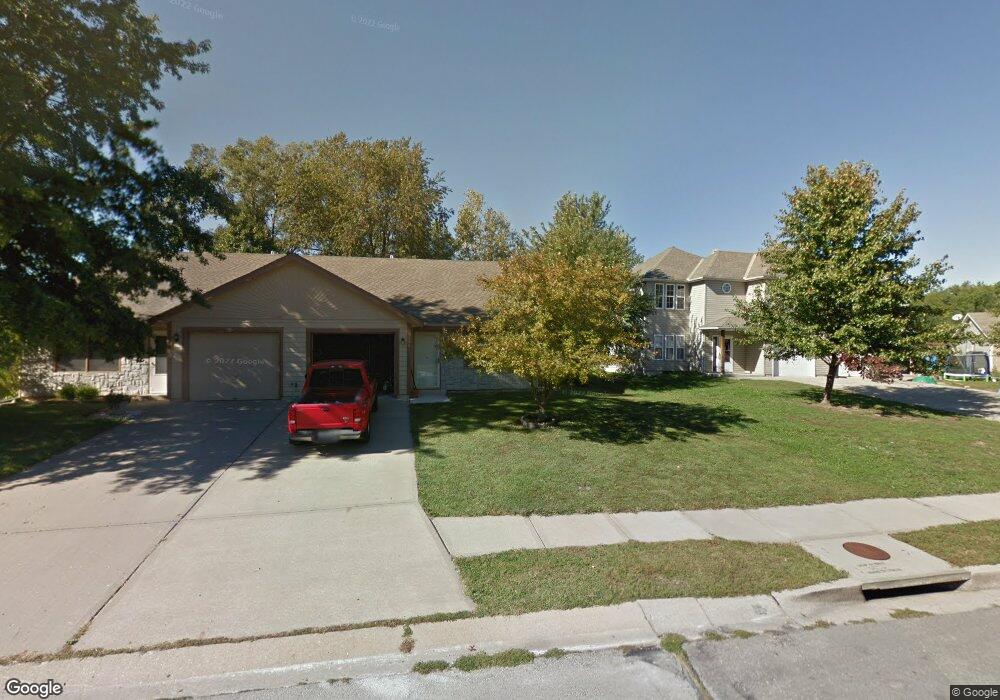
1040 Dean Dr Grain Valley, MO 64029
Estimated Value: $172,000 - $184,000
2
Beds
1
Bath
880
Sq Ft
$200/Sq Ft
Est. Value
About This Home
This home is located at 1040 Dean Dr, Grain Valley, MO 64029 and is currently estimated at $176,417, approximately $200 per square foot. 1040 Dean Dr is a home located in Jackson County with nearby schools including Grain Valley High School.
Ownership History
Date
Name
Owned For
Owner Type
Purchase Details
Closed on
Nov 22, 2024
Sold by
Paxton Russellproperties Llc
Bought by
Russell Breann
Current Estimated Value
Purchase Details
Closed on
Jan 2, 2021
Sold by
Paxton Breann F and Russell Eric J
Bought by
Paxton Russell Properties Llc
Purchase Details
Closed on
Oct 5, 2020
Sold by
Russell Eric J
Bought by
Diane Russell Living Trust
Purchase Details
Closed on
Mar 7, 2018
Sold by
Salmond Sheila M and Salmond Josh
Bought by
Russell Breann F and Russell Eric J
Purchase Details
Closed on
May 20, 2005
Sold by
Campbell Leroy and Campbell Karen J
Bought by
Morris Ronald L
Purchase Details
Closed on
Jun 6, 2000
Sold by
Leroy Campbell and Leroy Karen
Bought by
Campbell Leroy and Campbell Karen
Purchase Details
Closed on
Jan 26, 1998
Sold by
Leroy Campbell and Leroy Karen
Bought by
Massee Esther Alvina
Create a Home Valuation Report for This Property
The Home Valuation Report is an in-depth analysis detailing your home's value as well as a comparison with similar homes in the area
Home Values in the Area
Average Home Value in this Area
Purchase History
| Date | Buyer | Sale Price | Title Company |
|---|---|---|---|
| Russell Breann | -- | None Listed On Document | |
| Paxton Russell Properties Llc | -- | None Available | |
| Diane Russell Living Trust | -- | None Available | |
| Russell Breann F | -- | None Available | |
| Morris Ronald L | -- | Metro | |
| Campbell Leroy | -- | Stewart Title | |
| Massee Esther Alvina | -- | Stewart Title |
Source: Public Records
Tax History Compared to Growth
Tax History
| Year | Tax Paid | Tax Assessment Tax Assessment Total Assessment is a certain percentage of the fair market value that is determined by local assessors to be the total taxable value of land and additions on the property. | Land | Improvement |
|---|---|---|---|---|
| 2025 | $1,690 | $20,855 | $4,374 | $16,481 |
| 2024 | $1,690 | $20,516 | $1,885 | $18,631 |
| 2023 | $1,627 | $20,516 | $3,131 | $17,385 |
| 2022 | $1,430 | $15,770 | $1,862 | $13,908 |
| 2021 | $1,396 | $15,770 | $1,862 | $13,908 |
| 2020 | $1,246 | $13,888 | $1,862 | $12,026 |
| 2019 | $1,221 | $13,888 | $1,862 | $12,026 |
| 2018 | $1,128 | $11,985 | $1,519 | $10,466 |
| 2017 | $1,128 | $11,985 | $1,519 | $10,466 |
| 2016 | $1,099 | $11,685 | $1,425 | $10,260 |
| 2014 | $1,005 | $10,602 | $1,429 | $9,173 |
Source: Public Records
Map
Nearby Homes
- 1024 Christie Ln
- 200 Cross Creek Ln
- 209 SW Cross Creek Dr
- 207 Pebblebrook St
- 1418 SW Blue Branch Dr
- 509 SW Joseph Ct
- 401 S Minter Rd
- 636 SW Lakeview Dr
- 725 SW Tisha Ln
- 1235 NW Ashley Ln
- 1215 SW Lone Star Ct
- 640 SW Crestview Dr
- 518 South St
- 1229 NW Ashley Dr
- 714 SW Brome Dr
- 1214 SW Windcrest Ct
- 1007 NW Long Dr
- 506 SW Meadowood Dr
- 512 Broadway St
- 605 NW Silverstone Cir