1040 Mattlind Way Milford, DE 19963
Estimated Value: $2,215,557
--
Bed
--
Bath
16,000
Sq Ft
$138/Sq Ft
Est. Value
About This Home
This home is located at 1040 Mattlind Way, Milford, DE 19963 and is currently estimated at $2,215,557, approximately $138 per square foot. 1040 Mattlind Way is a home located in Kent County with nearby schools including Benjamin Banneker Elementary School, Milford Central Academy, and Milford Senior High School.
Ownership History
Date
Name
Owned For
Owner Type
Purchase Details
Closed on
Feb 9, 2024
Sold by
Oak Forest Park Llc
Bought by
Dle Llc
Current Estimated Value
Home Financials for this Owner
Home Financials are based on the most recent Mortgage that was taken out on this home.
Original Mortgage
$1,600,000
Outstanding Balance
$1,567,045
Interest Rate
6.62%
Mortgage Type
New Conventional
Estimated Equity
$648,512
Purchase Details
Closed on
Jan 25, 2023
Sold by
Food Bank Of Delaware Inc
Bought by
Oak Forest Park Llc
Create a Home Valuation Report for This Property
The Home Valuation Report is an in-depth analysis detailing your home's value as well as a comparison with similar homes in the area
Home Values in the Area
Average Home Value in this Area
Purchase History
| Date | Buyer | Sale Price | Title Company |
|---|---|---|---|
| Dle Llc | $200,000 | None Listed On Document | |
| Oak Forest Park Llc | -- | None Listed On Document |
Source: Public Records
Mortgage History
| Date | Status | Borrower | Loan Amount |
|---|---|---|---|
| Open | Dle Llc | $1,600,000 |
Source: Public Records
Tax History Compared to Growth
Tax History
| Year | Tax Paid | Tax Assessment Tax Assessment Total Assessment is a certain percentage of the fair market value that is determined by local assessors to be the total taxable value of land and additions on the property. | Land | Improvement |
|---|---|---|---|---|
| 2025 | $4,019 | $1,066,600 | $176,800 | $889,800 |
| 2024 | $4,019 | $1,066,600 | $176,800 | $889,800 |
| 2023 | $9,583 | $426,500 | $12,700 | $413,800 |
| 2022 | $0 | $426,500 | $12,700 | $413,800 |
| 2021 | $0 | $426,500 | $12,700 | $413,800 |
| 2020 | $0 | $426,500 | $12,700 | $413,800 |
| 2019 | $0 | $426,500 | $12,700 | $413,800 |
| 2018 | $0 | $424,100 | $12,700 | $411,400 |
| 2017 | $0 | $424,100 | $0 | $0 |
| 2016 | -- | $424,100 | $0 | $0 |
| 2015 | -- | $424,100 | $0 | $0 |
| 2014 | -- | $424,100 | $0 | $0 |
Source: Public Records
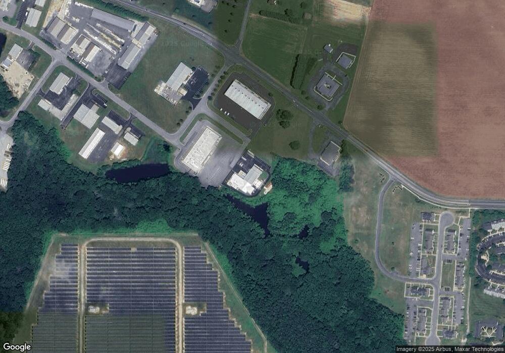
Map
Nearby Homes
- 256 S Landing Dr
- Lot 1 Milford Harrington Hwy
- 120 N Landing Dr
- 103 Alexa Ct
- 712 East Ln
- 700 Canterbury Rd
- 938 Church Hill Rd
- 100 Currie Ln
- 102 Currie Ln
- 101 Currie Ln
- 803 N Washington St
- 429 North St
- 135 Nightingale Dr
- 455 Kings Hwy
- 853 Greenbrook Dr
- 823 Greenbrook Dr
- 403 N Walnut St
- 211 N Washington St
- 13 Lakecrest Dr
- Lot 7 Lakecrest Dr
- 1008 Mattlind Way
- 1009 Mattlind Way Unit WAREHOUSE
- 1011 Mattlind Way
- 1005 Mattlind Way
- 1009 Mattlind Way
- 800 Airport Rd Unit 1
- 800 Airport Rd Unit SUITE 102
- 800 Airport Rd Unit SUITE3
- 800 Airport Rd Unit SUITE2
- 800 Airport Rd Unit SUITE1
- 800 Airport Rd
- 45 Bowman Rd
- 70 Bowman Rd
- 91 Bowman Rd
- 91 Bowman Rd
- 122 Bowman Rd Unit 1
- 122 Bowman Rd
- 200 Mullet Run
- 154 Bowman Rd
- 137 Bowman Rd