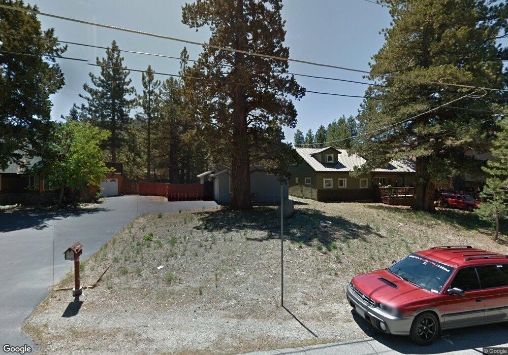
1040 Mohawk St South Lake Tahoe, CA 96150
Estimated Value: $563,000 - $657,000
3
Beds
2
Baths
1,104
Sq Ft
$563/Sq Ft
Est. Value
About This Home
This home is located at 1040 Mohawk St, South Lake Tahoe, CA 96150 and is currently estimated at $621,765, approximately $563 per square foot. 1040 Mohawk St is a home located in El Dorado County with nearby schools including Tahoe Valley Elementary School, South Tahoe Middle School, and South Tahoe High School.
Ownership History
Date
Name
Owned For
Owner Type
Purchase Details
Closed on
Jun 8, 2020
Sold by
Romero Kaleio Lani
Bought by
Romero Kaleio Lani and Westfall April L
Current Estimated Value
Purchase Details
Closed on
Aug 17, 2017
Sold by
Seifert Vivian A and Seifert Defined Benif Vivian A
Bought by
Romero Kaleio Lani
Home Financials for this Owner
Home Financials are based on the most recent Mortgage that was taken out on this home.
Original Mortgage
$431,521
Outstanding Balance
$361,614
Interest Rate
4.12%
Mortgage Type
FHA
Estimated Equity
$260,151
Purchase Details
Closed on
Feb 9, 2017
Sold by
Hasso Stephen A and Hasso Stephen A
Bought by
Seifert Vivian A and Seifert Defined Benef Vivian A
Purchase Details
Closed on
May 18, 2011
Sold by
Hasso Anton N
Bought by
Hasso Anton H
Purchase Details
Closed on
May 17, 2011
Sold by
Hasso Anton N and Declaration Of Trust For Anton
Bought by
Hasso Stephen A
Create a Home Valuation Report for This Property
The Home Valuation Report is an in-depth analysis detailing your home's value as well as a comparison with similar homes in the area
Home Values in the Area
Average Home Value in this Area
Purchase History
| Date | Buyer | Sale Price | Title Company |
|---|---|---|---|
| Romero Kaleio Lani | -- | None Available | |
| Romero Kaleio Lani | $444,000 | Placer Title Company | |
| Seifert Vivian A | $173,000 | Old Republic Title Company | |
| Hasso Anton H | -- | None Available | |
| Hasso Stephen A | -- | None Available |
Source: Public Records
Mortgage History
| Date | Status | Borrower | Loan Amount |
|---|---|---|---|
| Open | Romero Kaleio Lani | $431,521 |
Source: Public Records
Tax History Compared to Growth
Tax History
| Year | Tax Paid | Tax Assessment Tax Assessment Total Assessment is a certain percentage of the fair market value that is determined by local assessors to be the total taxable value of land and additions on the property. | Land | Improvement |
|---|---|---|---|---|
| 2025 | $5,289 | $505,189 | $119,469 | $385,720 |
| 2024 | $5,289 | $495,284 | $117,127 | $378,157 |
| 2023 | $5,196 | $485,574 | $114,831 | $370,743 |
| 2022 | $5,144 | $476,054 | $112,580 | $363,474 |
| 2021 | $5,060 | $466,721 | $110,373 | $356,348 |
| 2020 | $4,989 | $461,937 | $109,242 | $352,695 |
| 2019 | $4,964 | $452,880 | $107,100 | $345,780 |
| 2018 | $4,852 | $444,000 | $105,000 | $339,000 |
| 2017 | $1,213 | $107,617 | $15,114 | $92,503 |
| 2016 | $1,188 | $105,508 | $14,818 | $90,690 |
| 2015 | $1,128 | $103,926 | $14,597 | $89,329 |
| 2014 | $1,128 | $101,892 | $14,312 | $87,580 |
Source: Public Records
Map
Nearby Homes
- 1085 Mulberry Dr
- 1982 Cherokee St
- 2182 Lindenwood Dr
- 2189 Cornelian Dr
- 1140 Sioux St
- 0 Tomahawk Ln
- 2181 Pinewood Dr
- 2113 Oaxaco St
- 2255 Blitzen Rd
- 2263 Blitzen Rd
- 1935 Apache Ave
- 1940 Apache Ave
- 2877 Us Highway 50
- 1444 Apache Ave
- 1871 Normuk St
- 1889 Normuk St
- 1502 Seminole Dr
- 1894 Normuk St
- 1666 Arapahoe St
- 1344 Ottawa Dr
- 1036 Mohawk St
- 1044 Mohawk St
- 1032 Mohawk St
- 1050 Mohawk St
- 2008 Arrowhead Ave
- 2002 Arrowhead Ave
- 1026 Mohawk St
- 1056 Mohawk St
- 2010 Arrowhead Ave
- 2018 Arrowhead Ave
- 1041 Mohawk St
- 1998 Arrowhead Ave
- 1045 Mohawk St
- 1037 Mohawk St
- 1060 Mohawk St
- 1051 Mohawk St
- 1020 Mohawk St
- 2022 Arrowhead Ave
- 1994 Arrowhead Ave
- 1057 Mohawk St