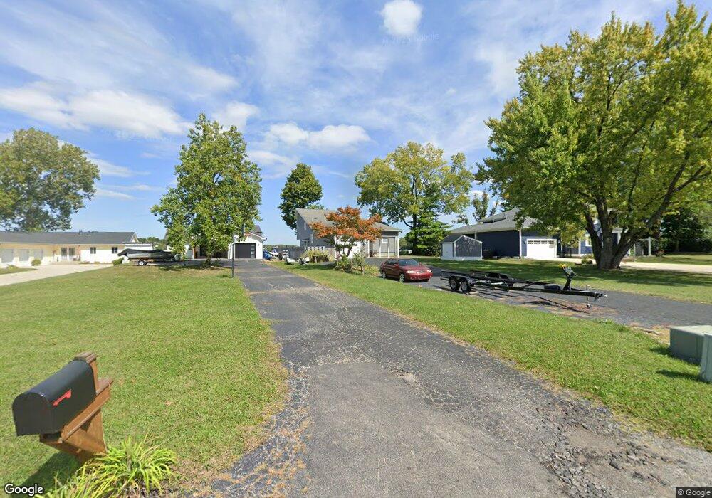
1040 Nantucket Dr Cicero, IN 46034
Estimated Value: $695,000 - $800,000
3
Beds
3
Baths
1,860
Sq Ft
$411/Sq Ft
Est. Value
About This Home
This home is located at 1040 Nantucket Dr, Cicero, IN 46034 and is currently estimated at $764,599, approximately $411 per square foot. 1040 Nantucket Dr is a home located in Hamilton County with nearby schools including Cicero Sda Elementary.
Ownership History
Date
Name
Owned For
Owner Type
Purchase Details
Closed on
Feb 12, 2009
Sold by
Etchison Lloyd E and Etchison Barbara A
Bought by
Renbarger Patty L
Current Estimated Value
Home Financials for this Owner
Home Financials are based on the most recent Mortgage that was taken out on this home.
Original Mortgage
$236,000
Outstanding Balance
$145,577
Interest Rate
5.14%
Mortgage Type
Purchase Money Mortgage
Estimated Equity
$619,022
Create a Home Valuation Report for This Property
The Home Valuation Report is an in-depth analysis detailing your home's value as well as a comparison with similar homes in the area
Home Values in the Area
Average Home Value in this Area
Purchase History
| Date | Buyer | Sale Price | Title Company |
|---|---|---|---|
| Renbarger Patty L | -- | Homequest Title Llc |
Source: Public Records
Mortgage History
| Date | Status | Borrower | Loan Amount |
|---|---|---|---|
| Open | Renbarger Patty L | $236,000 |
Source: Public Records
Tax History
| Year | Tax Paid | Tax Assessment Tax Assessment Total Assessment is a certain percentage of the fair market value that is determined by local assessors to be the total taxable value of land and additions on the property. | Land | Improvement |
|---|---|---|---|---|
| 2025 | $12,460 | $660,900 | $442,900 | $218,000 |
| 2024 | $11,911 | $667,400 | $442,900 | $224,500 |
| 2023 | $11,911 | $625,700 | $442,900 | $182,800 |
| 2022 | $10,180 | $526,600 | $278,400 | $248,200 |
| 2021 | $9,660 | $484,500 | $278,400 | $206,100 |
| 2020 | $9,025 | $451,200 | $278,400 | $172,800 |
| 2019 | $7,796 | $389,600 | $196,100 | $193,500 |
| 2018 | $7,554 | $377,700 | $196,100 | $181,600 |
| 2017 | $7,124 | $356,200 | $196,100 | $160,100 |
| 2016 | $7,222 | $361,100 | $196,100 | $165,000 |
| 2014 | $6,912 | $345,600 | $189,200 | $156,400 |
| 2013 | $6,912 | $330,200 | $198,900 | $131,300 |
Source: Public Records
Map
Nearby Homes
- 1940 Nantucket Dr
- 100 Confidential Dr
- 709 Pleasant Point Cir
- 82 Hovden Dr
- 243 Alvor Ct
- 129 Armitage St
- 140 Wiley St
- 206 Verdant Dr
- 26 Verdant Dr
- 15 Morse Ct
- 449 S Peru St
- 104 Perlican Dr
- 31 Bluewater Dr
- 30 Lively Place
- 18 Point Ln
- 249 Cass St
- 209 Bayview Dr
- 229 Bayview Dr
- 210 E Buckeye St
- 249 E Jackson St
- 1060 Nantucket Dr
- 1020 Nantucket Dr
- 1080 Nantucket Dr
- 1100 Nantucket Dr
- 980 Nantucket Dr
- 1120 Nantucket Dr
- 960 Nantucket Dr
- 1069 Nantucket Dr
- 1049 Nantucket Dr
- 1029 Nantucket Dr
- 1140 Nantucket Dr
- 1089 Nantucket Dr
- 940 Nantucket Dr
- 989 Nantucket Dr
- 969 Nantucket Dr
- 920 Nantucket Dr
- 1129 Nantucket Dr
- 900 Nantucket Dr
- 929 Nantucket Dr
- 889 Nantucket Dr
Your Personal Tour Guide
Ask me questions while you tour the home.