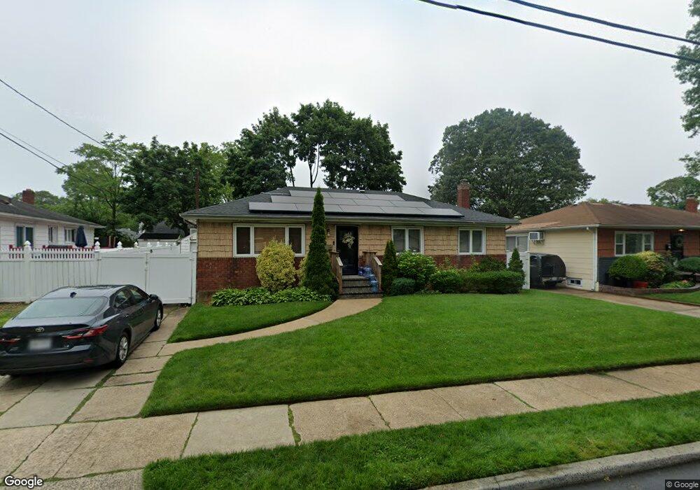
1040 Owasco Rd West Hempstead, NY 11552
Estimated Value: $539,000 - $608,350
--
Bed
1
Bath
1,100
Sq Ft
$522/Sq Ft
Est. Value
About This Home
This home is located at 1040 Owasco Rd, West Hempstead, NY 11552 and is currently estimated at $573,675, approximately $521 per square foot. 1040 Owasco Rd is a home located in Nassau County with nearby schools including Davison Avenue Intermediate School, Maurice W. Downing Primary K-2 School, and Howard T Herber Middle School.
Ownership History
Date
Name
Owned For
Owner Type
Purchase Details
Closed on
Apr 7, 2016
Sold by
Hector Pamela
Bought by
Clarke Andrew
Current Estimated Value
Home Financials for this Owner
Home Financials are based on the most recent Mortgage that was taken out on this home.
Original Mortgage
$261,182
Outstanding Balance
$207,969
Interest Rate
3.75%
Mortgage Type
FHA
Estimated Equity
$365,706
Purchase Details
Closed on
Oct 26, 1998
Sold by
Burnett Janice
Bought by
Hector Pamela
Create a Home Valuation Report for This Property
The Home Valuation Report is an in-depth analysis detailing your home's value as well as a comparison with similar homes in the area
Home Values in the Area
Average Home Value in this Area
Purchase History
| Date | Buyer | Sale Price | Title Company |
|---|---|---|---|
| Clarke Andrew | $266,000 | Judicial Title | |
| Hector Pamela | $150,000 | -- |
Source: Public Records
Mortgage History
| Date | Status | Borrower | Loan Amount |
|---|---|---|---|
| Open | Clarke Andrew | $261,182 |
Source: Public Records
Tax History Compared to Growth
Tax History
| Year | Tax Paid | Tax Assessment Tax Assessment Total Assessment is a certain percentage of the fair market value that is determined by local assessors to be the total taxable value of land and additions on the property. | Land | Improvement |
|---|---|---|---|---|
| 2025 | $11,294 | $378 | $170 | $208 |
| 2024 | $3,856 | $378 | $170 | $208 |
| 2023 | $11,119 | $378 | $170 | $208 |
| 2022 | $11,119 | $377 | $170 | $207 |
| 2021 | $15,235 | $356 | $160 | $196 |
| 2020 | $11,507 | $584 | $334 | $250 |
| 2019 | $11,648 | $584 | $334 | $250 |
| 2018 | $10,999 | $584 | $0 | $0 |
| 2017 | $6,525 | $584 | $334 | $250 |
| 2016 | $9,961 | $584 | $334 | $250 |
| 2015 | $3,215 | $584 | $334 | $250 |
| 2014 | $3,215 | $584 | $334 | $250 |
| 2013 | $3,027 | $584 | $334 | $250 |
Source: Public Records
Map
Nearby Homes
- 1025 Ontario Rd
- 26 Parkside Rd
- 7 Hopatcong Ave
- 1070 Mahopac Rd
- 461 Pinebrook Ave
- 529 Clinton Ave
- 362 Langdon Blvd
- 1024 Mahopac Rd
- 486 Champlain Ave
- 919 Pinelake Dr
- 924 Otsego Ct
- 501 Lafayette Ave
- 10 Pinebrook Ave
- 44 School St
- 9 Coral Ct
- 419 Coolidge Ave
- 492 Pershing Blvd
- 36 School St
- 394 Pinebrook Ave
- 401 Ocean Ave
- 1034 Owasco Rd
- 590 Chautauqua Ave
- 1035 Saranac Rd
- 11 Saranac Rd Unit 1027
- 606 Chautauqua Ave
- 1028 Owasco Rd
- 1049 Owasco Rd
- 1039 Owasco Rd
- 1025 Saranac Rd
- 1031 Owasco Rd
- 1022 Owasco Rd
- 595 Chautauqua Ave
- 1019 Saranac Rd
- 601 Chautauqua Ave
- 572 Chautauqua Ave
- 1025 Owasco Rd
- 1016 Owasco Rd
- 607 Chautauqua Ave
- 6 Saranac Rd
- 1821 Owasco Rd