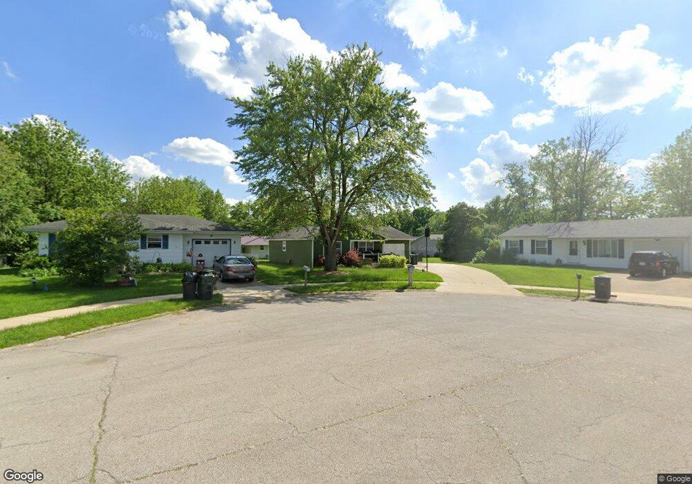
1040 Oxford Ct Charleston, IL 61920
Estimated Value: $113,822 - $151,000
3
Beds
1
Bath
1,040
Sq Ft
$129/Sq Ft
Est. Value
About This Home
This home is located at 1040 Oxford Ct, Charleston, IL 61920 and is currently estimated at $134,206, approximately $129 per square foot. 1040 Oxford Ct is a home located in Coles County with nearby schools including Charleston High School, Charleston Christian Academy, and Charleston Christian Academy High School.
Ownership History
Date
Name
Owned For
Owner Type
Purchase Details
Closed on
Feb 19, 2016
Sold by
Coles County Judge
Bought by
Anderson Zachary D and Drake Dennis E
Current Estimated Value
Purchase Details
Closed on
Oct 19, 2011
Sold by
Williams Jack and Williams Cindy
Bought by
Anderson Zachary D
Home Financials for this Owner
Home Financials are based on the most recent Mortgage that was taken out on this home.
Original Mortgage
$73,425
Interest Rate
4.09%
Mortgage Type
New Conventional
Create a Home Valuation Report for This Property
The Home Valuation Report is an in-depth analysis detailing your home's value as well as a comparison with similar homes in the area
Home Values in the Area
Average Home Value in this Area
Purchase History
| Date | Buyer | Sale Price | Title Company |
|---|---|---|---|
| Anderson Zachary D | $45,500 | -- | |
| Anderson Zachary D | $70,000 | None Available |
Source: Public Records
Mortgage History
| Date | Status | Borrower | Loan Amount |
|---|---|---|---|
| Previous Owner | Anderson Zachary D | $73,425 |
Source: Public Records
Tax History Compared to Growth
Tax History
| Year | Tax Paid | Tax Assessment Tax Assessment Total Assessment is a certain percentage of the fair market value that is determined by local assessors to be the total taxable value of land and additions on the property. | Land | Improvement |
|---|---|---|---|---|
| 2024 | $2,179 | $28,076 | $3,066 | $25,010 |
| 2023 | $2,146 | $25,640 | $2,800 | $22,840 |
| 2022 | $2,150 | $25,217 | $2,754 | $22,463 |
| 2021 | $2,215 | $24,201 | $2,643 | $21,558 |
| 2020 | $2,254 | $25,074 | $3,826 | $21,248 |
| 2019 | $2,217 | $24,201 | $3,693 | $20,508 |
| 2018 | $2,193 | $24,201 | $3,693 | $20,508 |
| 2017 | $2,165 | $24,201 | $3,693 | $20,508 |
| 2016 | $2,086 | $23,523 | $3,693 | $19,830 |
| 2015 | $2,154 | $23,523 | $3,693 | $19,830 |
| 2014 | $2,154 | $23,523 | $3,693 | $19,830 |
| 2013 | $2,154 | $23,523 | $3,693 | $19,830 |
Source: Public Records
Map
Nearby Homes
- 0 Timberlake Lot 17 Estates
- 929 Reynolds Dr
- 921 Reynolds Dr
- 926 Westgate Dr
- W Hayes Ave Lot Unit WP001
- 711 Kenton Dr
- 911 W Hayes Ave
- 942 E St
- 1035 Woodberry Ln
- 1071 Woodberry Ln
- 926 Division St
- 9 Orchard Dr
- 1528 Division St
- 2 Stonegate Dr
- 934 2nd St
- 124 Polk Ave
- 943 2nd St
- 23 Stonegate Dr
- 409 3rd St
- 715 W Coolidge Ave
- 1046 Oxford Ct
- 1034 Oxford Ct
- 1039 W Polk Ave
- 1045 W Polk Ave
- 1033 W Polk Ave
- 1028 Oxford Ct
- 1045 Oxford Ct
- 1117 W Polk Ave
- 1027 W Polk Ave
- 1039 Oxford Ct
- 934 Foxcrest Dr
- 1033 Oxford Ct
- 1027 Oxford Ct
- 1123 W Polk Ave
- 922 Foxcrest Dr
- 1046 Stratford Dr
- 1034 W Polk Ave
- 1034 Stratford Dr
- 1028 W Polk Ave
- 1121 W Polk Ave