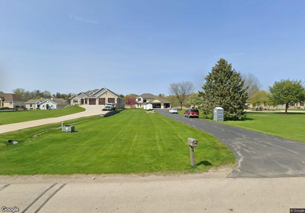
1040 Riverside Dr Suamico, WI 54173
Estimated Value: $609,000 - $733,002
3
Beds
4
Baths
3,098
Sq Ft
$218/Sq Ft
Est. Value
About This Home
This home is located at 1040 Riverside Dr, Suamico, WI 54173 and is currently estimated at $674,751, approximately $217 per square foot. 1040 Riverside Dr is a home located in Brown County with nearby schools including Bay Harbor Elementary School, Lineville Intermediate School, and Bay View Middle School.
Ownership History
Date
Name
Owned For
Owner Type
Purchase Details
Closed on
Jun 15, 2016
Sold by
Pamperin Todd M and Pamperin Debra A
Bought by
Ruebbelke Michael E and Ruebbelke Deborah J
Current Estimated Value
Home Financials for this Owner
Home Financials are based on the most recent Mortgage that was taken out on this home.
Original Mortgage
$225,000
Outstanding Balance
$140,706
Interest Rate
3.61%
Mortgage Type
New Conventional
Estimated Equity
$534,045
Create a Home Valuation Report for This Property
The Home Valuation Report is an in-depth analysis detailing your home's value as well as a comparison with similar homes in the area
Home Values in the Area
Average Home Value in this Area
Purchase History
| Date | Buyer | Sale Price | Title Company |
|---|---|---|---|
| Ruebbelke Michael E | $350,000 | Title Revolution Llc |
Source: Public Records
Mortgage History
| Date | Status | Borrower | Loan Amount |
|---|---|---|---|
| Open | Ruebbelke Michael E | $225,000 |
Source: Public Records
Tax History Compared to Growth
Tax History
| Year | Tax Paid | Tax Assessment Tax Assessment Total Assessment is a certain percentage of the fair market value that is determined by local assessors to be the total taxable value of land and additions on the property. | Land | Improvement |
|---|---|---|---|---|
| 2024 | $7,671 | $434,500 | $141,800 | $292,700 |
| 2023 | $7,569 | $434,500 | $141,800 | $292,700 |
| 2022 | $7,435 | $434,500 | $141,800 | $292,700 |
| 2021 | $7,021 | $434,500 | $141,800 | $292,700 |
| 2020 | $7,078 | $434,500 | $141,800 | $292,700 |
| 2019 | $6,590 | $331,500 | $109,700 | $221,800 |
| 2018 | $6,345 | $331,500 | $109,700 | $221,800 |
| 2017 | $6,190 | $331,500 | $109,700 | $221,800 |
| 2016 | $5,975 | $331,500 | $109,700 | $221,800 |
| 2015 | $5,954 | $331,500 | $109,700 | $221,800 |
| 2014 | $7,150 | $331,500 | $109,700 | $221,800 |
| 2013 | $7,150 | $331,500 | $109,700 | $221,800 |
Source: Public Records
Map
Nearby Homes
- 969 Riverside Dr
- 0 Sunset Beach Rd
- 0 Maple Grove Unit 50315677
- 0 Maple Grove Unit 50315676
- 0 Maple Grove Unit 50315674
- 1383 Riverside Dr
- 3167 Lakeview Dr
- 1429 Harbor Lights Rd
- 2753 Summerset Cir
- 1444 Timber Trail
- 1749 Ives Ln
- 13646 Velp Ave
- 13193 Velp Ave Unit 935
- 13193 Velp Ave Unit 934
- 13193 Velp Ave Unit 933
- 13193 Velp Ave Unit 931
- 2411 Loxley Ct
- 2507 Wilding Way
- 1891 Riverside Dr Unit D
- 4132 Bayside Rd
- 1042 Riverside Dr
- 1036 Riverside Dr
- 0 Huntington Way Unit 50109765
- 1044 Riverside Dr
- 1046 Riverside Dr
- 3176 Seafarer Way
- 1041 Riverside Dr
- 1048 Riverside Dr
- 1043 Riverside Dr
- 1050 Riverside Dr
- 1000 Riverside Dr
- 1047 Riverside Dr
- 3164 Seafarer Way
- 1017 Sunset Beach Rd
- 3157 Seafarer Way
- 976 Riverside Dr
- 1062 Riverside Dr
- 3200 Harbor Winds Dr
- 995 Riverside Dr
- 1025 Sunset Beach Rd