1040 Route 109 Cape May, NJ 08204
Estimated Value: $1,136,000 - $2,076,144
5
Beds
4
Baths
4,494
Sq Ft
$364/Sq Ft
Est. Value
About This Home
This home is located at 1040 Route 109, Cape May, NJ 08204 and is currently estimated at $1,637,536, approximately $364 per square foot. 1040 Route 109 is a home located in Cape May County with nearby schools including Carl T. Mitnick School, David C. Douglass Veterans Memorial School, and Maud Abrams School.
Ownership History
Date
Name
Owned For
Owner Type
Purchase Details
Closed on
Aug 21, 2015
Sold by
Wells Fargo Bank Na
Bought by
Wetherill Sidney and Wetherill Shawn
Current Estimated Value
Purchase Details
Closed on
May 1, 2006
Sold by
James Mary
Bought by
Wetherill Sidney H and Wetherill Shawn L
Purchase Details
Closed on
May 21, 1997
Sold by
Andrew M Coumo Hud
Bought by
Brown Donna and Nolan Steve A
Home Financials for this Owner
Home Financials are based on the most recent Mortgage that was taken out on this home.
Original Mortgage
$59,000
Interest Rate
8.08%
Create a Home Valuation Report for This Property
The Home Valuation Report is an in-depth analysis detailing your home's value as well as a comparison with similar homes in the area
Home Values in the Area
Average Home Value in this Area
Purchase History
| Date | Buyer | Sale Price | Title Company |
|---|---|---|---|
| Wetherill Sidney | $80,000 | None Available | |
| Wetherill Sidney H | $900,000 | The Title Company Of Jersey | |
| Brown Donna | $62,000 | -- |
Source: Public Records
Mortgage History
| Date | Status | Borrower | Loan Amount |
|---|---|---|---|
| Previous Owner | Brown Donna | $59,000 |
Source: Public Records
Tax History Compared to Growth
Tax History
| Year | Tax Paid | Tax Assessment Tax Assessment Total Assessment is a certain percentage of the fair market value that is determined by local assessors to be the total taxable value of land and additions on the property. | Land | Improvement |
|---|---|---|---|---|
| 2025 | $14,206 | $700,500 | $295,300 | $405,200 |
| 2024 | $14,206 | $700,500 | $295,300 | $405,200 |
| 2023 | $14,003 | $700,500 | $295,300 | $405,200 |
| 2022 | $13,576 | $700,500 | $295,300 | $405,200 |
| 2021 | $13,169 | $700,500 | $295,300 | $405,200 |
| 2020 | $12,959 | $700,500 | $295,300 | $405,200 |
| 2019 | $12,637 | $700,500 | $295,300 | $405,200 |
| 2018 | $12,336 | $700,500 | $295,300 | $405,200 |
| 2017 | $12,350 | $700,500 | $295,300 | $405,200 |
| 2016 | $12,161 | $700,500 | $295,300 | $405,200 |
| 2015 | $11,768 | $700,500 | $295,300 | $405,200 |
| 2014 | $11,383 | $700,500 | $295,300 | $405,200 |
Source: Public Records
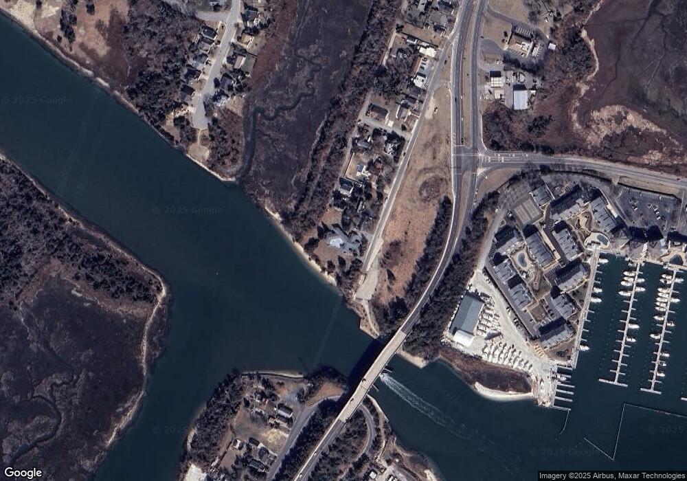
Map
Nearby Homes
- 902 Ocean Dr Unit 1604
- 902 Ocean Dr Unit 222
- 902 Ocean Dr Unit 703
- 902 Ocean Dr Unit 808
- 120 Victoria Dr
- 1200 Wilson Dr
- 1204 Wilson Dr Unit 1st Floor
- 1204 Wilson Dr Unit 1st
- 424 Portsmouth Rd
- 1242 New Jersey 109
- 1242 Route 109
- 880 1st Ave Unit 1
- 880 1st Ave Unit 2
- 1252 Route 109 Unit 1252 Rte 1
- 1415 Harbor Ln Unit 101
- 1415 Harbor Ln Unit 202
- 1520 Yacht Ave Unit 205
- 36 Harbor Cove
- 38 Harbor Cove
- 40 Harbor Cove
- 1031 Wissahickon Ave
- 1021 Wissahickon Ave
- 1022 Route 109 Unit 1036
- 988 Route 109
- 1001 Wissahickon Ave
- 1008 Route 109
- 987 Wissahickon Ave
- 979 Wissahickon Ave
- 984 Route 109 Unit 986
- 980 Route 109 Unit 982
- 968 Route 109
- 1101 Wissahickon Ave
- 3 Newport Dr
- 988 New Jersey 109
- 1100 Route 109 Unit 1102
- 5 Newport Dr
- 1104 Route 109 Unit 1106
- 794 New Jersey 109
- 2 Newport Dr
- 7 Newport Dr