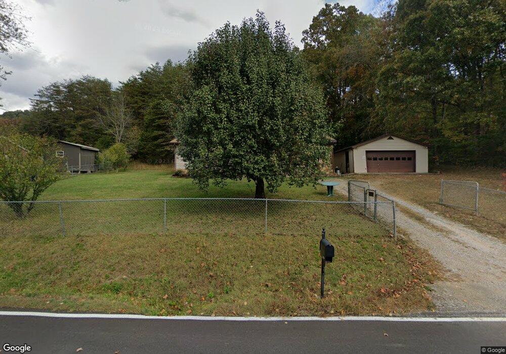
1040 Satterfield Rd Maynardville, TN 37807
Paulette NeighborhoodEstimated Value: $242,419 - $299,000
3
Beds
2
Baths
1,524
Sq Ft
$173/Sq Ft
Est. Value
About This Home
This home is located at 1040 Satterfield Rd, Maynardville, TN 37807 and is currently estimated at $263,355, approximately $172 per square foot. 1040 Satterfield Rd is a home located in Union County with nearby schools including Paulette Elementary School, Union County High School, and H Maynard Middle School.
Ownership History
Date
Name
Owned For
Owner Type
Purchase Details
Closed on
Dec 30, 2010
Sold by
Federal National Mortgage Association
Bought by
Stevens Ronald L
Current Estimated Value
Purchase Details
Closed on
Apr 8, 2010
Sold by
Braden James H
Bought by
Federal National Mtg Associati
Purchase Details
Closed on
Apr 1, 1992
Bought by
Braden James H
Purchase Details
Closed on
Feb 9, 1978
Bought by
Myers Douglas G
Create a Home Valuation Report for This Property
The Home Valuation Report is an in-depth analysis detailing your home's value as well as a comparison with similar homes in the area
Home Values in the Area
Average Home Value in this Area
Purchase History
| Date | Buyer | Sale Price | Title Company |
|---|---|---|---|
| Stevens Ronald L | $40,950 | -- | |
| Stevens Ronald L | $40,950 | -- | |
| Federal National Mtg Associati | $83,207 | -- | |
| Federal National Mtg Associati | $83,207 | -- | |
| Braden James H | $47,000 | -- | |
| Braden James H | $47,000 | -- | |
| Myers Douglas G | -- | -- | |
| Myers Douglas G | -- | -- |
Source: Public Records
Tax History Compared to Growth
Tax History
| Year | Tax Paid | Tax Assessment Tax Assessment Total Assessment is a certain percentage of the fair market value that is determined by local assessors to be the total taxable value of land and additions on the property. | Land | Improvement |
|---|---|---|---|---|
| 2024 | $587 | $30,875 | $3,625 | $27,250 |
| 2023 | $587 | $30,875 | $3,625 | $27,250 |
| 2022 | $491 | $30,875 | $3,625 | $27,250 |
| 2021 | $401 | $18,750 | $2,625 | $16,125 |
| 2020 | $401 | $18,750 | $2,625 | $16,125 |
| 2019 | $401 | $18,750 | $2,625 | $16,125 |
| 2018 | $401 | $18,750 | $2,625 | $16,125 |
| 2017 | $401 | $18,750 | $2,625 | $16,125 |
| 2016 | $330 | $15,225 | $3,375 | $11,850 |
| 2015 | $330 | $15,225 | $3,375 | $11,850 |
| 2014 | $273 | $15,231 | $0 | $0 |
Source: Public Records
Map
Nearby Homes
- 213 Brock Rd
- 211 Jamie St
- 215 Jamie St
- 275 Dogwood Ln
- 112 Dogwood St
- 254 Dogwood Ln
- L-7 Williams Dr
- 7725 Texas Valley Rd
- 9024 Welch Rd
- 9211 Brock Rd
- 9210 Brock Rd
- 0 Satterfield Rd Unit 1313221
- 8210 Wood Rd
- 323 Maynardville Hwy
- 00 Old Tazewell Pike
- 7439 Haley Ln
- 346 Wolfenbarger Ln
- 375 Russell Dr
- 8127 Campbells Point Rd
- 8.30 acres Wolfenbarger Ln
- 1046 Satterfield Rd
- 1047 Satterfield Rd
- 1027 Satterfield Rd
- 1024 Satterfield Rd
- 1058 Satterfield Rd
- 1073 Satterfield Rd
- 1066 Satterfield Rd
- 1070 Satterfield Rd
- 1014 Satterfield Rd
- 135 Buck Ln
- 1078 Satterfield Rd
- 962 Satterfield Rd
- 969 Satterfield Rd
- 107 Brock Rd
- 961 Satterfield Rd
- 1104 Satterfield Rd
- 240 Crystal Mountain Rd
- 955 Satterfield Rd
- 9450 Graves Rd
- 1120 Satterfield Rd