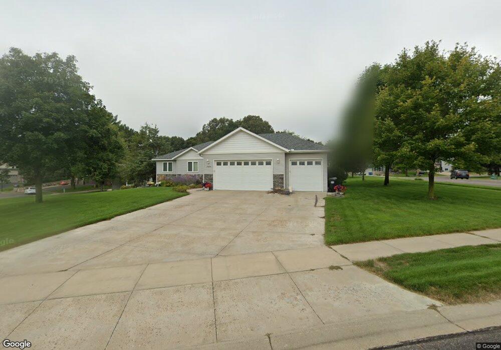
10400 17th Cir Becker, MN 55308
Estimated Value: $403,210 - $445,000
5
Beds
4
Baths
1,366
Sq Ft
$313/Sq Ft
Est. Value
About This Home
This home is located at 10400 17th Cir, Becker, MN 55308 and is currently estimated at $427,803, approximately $313 per square foot. 10400 17th Cir is a home located in Sherburne County with nearby schools including Becker Primary School, Becker Intermediate Elementary School, and Becker Middle School.
Ownership History
Date
Name
Owned For
Owner Type
Purchase Details
Closed on
May 5, 2020
Sold by
Gallus Carey M and Gallus Heidi
Bought by
Larsen Michael Robert
Current Estimated Value
Home Financials for this Owner
Home Financials are based on the most recent Mortgage that was taken out on this home.
Original Mortgage
$333,680
Outstanding Balance
$295,687
Interest Rate
3.3%
Mortgage Type
New Conventional
Estimated Equity
$132,116
Purchase Details
Closed on
Dec 14, 2006
Sold by
Crocker Construction Inc
Bought by
Gallus Carey M
Purchase Details
Closed on
Dec 12, 2005
Sold by
Dynamics Design & Land Co Llc
Bought by
Crocker Construction Inc
Home Financials for this Owner
Home Financials are based on the most recent Mortgage that was taken out on this home.
Original Mortgage
$200,000
Interest Rate
6.36%
Mortgage Type
Construction
Create a Home Valuation Report for This Property
The Home Valuation Report is an in-depth analysis detailing your home's value as well as a comparison with similar homes in the area
Home Values in the Area
Average Home Value in this Area
Purchase History
| Date | Buyer | Sale Price | Title Company |
|---|---|---|---|
| Larsen Michael Robert | $344,000 | None Available | |
| Gallus Carey M | $245,000 | -- | |
| Crocker Construction Inc | $53,900 | -- |
Source: Public Records
Mortgage History
| Date | Status | Borrower | Loan Amount |
|---|---|---|---|
| Open | Larsen Michael Robert | $333,680 | |
| Previous Owner | Crocker Construction Inc | $200,000 |
Source: Public Records
Tax History
| Year | Tax Paid | Tax Assessment Tax Assessment Total Assessment is a certain percentage of the fair market value that is determined by local assessors to be the total taxable value of land and additions on the property. | Land | Improvement |
|---|---|---|---|---|
| 2025 | $4,926 | $397,900 | $93,900 | $304,000 |
| 2024 | $4,770 | $382,600 | $108,400 | $274,200 |
| 2023 | $4,572 | $379,500 | $108,400 | $271,100 |
| 2022 | $4,042 | $361,200 | $91,500 | $269,700 |
| 2020 | $3,486 | $275,900 | $48,500 | $227,400 |
| 2019 | $3,366 | $260,900 | $45,400 | $215,500 |
| 2018 | $3,224 | $255,400 | $44,800 | $210,600 |
| 2017 | $3,008 | $240,900 | $44,800 | $196,100 |
| 2016 | $2,992 | $223,200 | $36,800 | $186,400 |
| 2015 | $2,652 | $207,500 | $34,000 | $173,500 |
| 2014 | $2,618 | $202,300 | $33,900 | $168,400 |
| 2013 | -- | $192,100 | $32,000 | $160,100 |
Source: Public Records
Map
Nearby Homes
- 13306 Ivy St
- 13502 Johnson St
- 13326 Mallard Dr SE
- 13594 Jesse St
- 11184 Brenda Blvd
- L1 B1 Edgewood St SE
- 11188 Katherine Ave
- 11252 Prairie Village Ln
- xxx Carole Dr
- 13905 Woodland Ct
- TBD Lot 18 Block 1 Parkview Dr
- 9336 131st Ave SE
- 13564 Brenda Blvd
- 13860 Birdie Ln SE
- L1 B2 1st St SE
- 14245 Fairway Ln
- 14030 Central Ave
- 11550 36th Ave SE
- 11492 37th Ave SE
- 14931 117th St
Your Personal Tour Guide
Ask me questions while you tour the home.