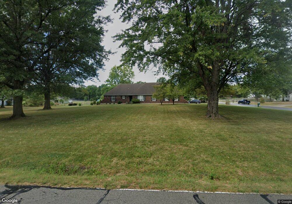
10400 Howard Rd Lees Summit, MO 64086
Estimated Value: $600,674 - $642,000
4
Beds
4
Baths
2,956
Sq Ft
$212/Sq Ft
Est. Value
About This Home
This home is located at 10400 Howard Rd, Lees Summit, MO 64086 and is currently estimated at $626,169, approximately $211 per square foot. 10400 Howard Rd is a home located in Jackson County with nearby schools including Mason Elementary School, Bernard C. Campbell Middle School, and Lee's Summit North High School.
Ownership History
Date
Name
Owned For
Owner Type
Purchase Details
Closed on
Aug 13, 2009
Sold by
Davis Diane Canow and Davis David
Bought by
Scism Rick E and Scism Amy L
Current Estimated Value
Home Financials for this Owner
Home Financials are based on the most recent Mortgage that was taken out on this home.
Original Mortgage
$253,332
Outstanding Balance
$163,302
Interest Rate
5.31%
Mortgage Type
VA
Estimated Equity
$462,867
Purchase Details
Closed on
Dec 17, 2007
Sold by
Canow Kurt
Bought by
Canow Felicia
Create a Home Valuation Report for This Property
The Home Valuation Report is an in-depth analysis detailing your home's value as well as a comparison with similar homes in the area
Purchase History
| Date | Buyer | Sale Price | Title Company |
|---|---|---|---|
| Scism Rick E | -- | Metro One Title | |
| Canow Felicia | -- | None Available |
Source: Public Records
Mortgage History
| Date | Status | Borrower | Loan Amount |
|---|---|---|---|
| Open | Scism Rick E | $253,332 |
Source: Public Records
Tax History
| Year | Tax Paid | Tax Assessment Tax Assessment Total Assessment is a certain percentage of the fair market value that is determined by local assessors to be the total taxable value of land and additions on the property. | Land | Improvement |
|---|---|---|---|---|
| 2025 | $4,702 | $73,874 | $13,800 | $60,074 |
| 2024 | $4,654 | $67,450 | $11,012 | $56,438 |
| 2023 | $4,654 | $67,450 | $9,255 | $58,195 |
| 2022 | $4,381 | $55,860 | $7,764 | $48,096 |
| 2021 | $4,189 | $55,860 | $7,764 | $48,096 |
| 2020 | $4,145 | $53,203 | $7,764 | $45,439 |
| 2019 | $4,050 | $53,203 | $7,764 | $45,439 |
| 2018 | $3,795 | $46,303 | $6,757 | $39,546 |
| 2016 | $3,727 | $45,049 | $6,384 | $38,665 |
Source: Public Records
Map
Nearby Homes
- 10411 Windsor Dr
- 10705 Wildflower Dr
- 26104 E 99th St
- 24002 E Langsford Rd
- 25408 NE Colbern Rd
- 22 U St
- 0000 S St
- 19 U St
- 1121 SW Brookside Ct
- 9312 Cyclone School Rd
- 1058 SW Conch Way
- 9208 SW Whispy Way
- 41 I St
- 1108 SW Whispering Willow Way
- 1600 NE Woodland Shores Cir
- 27303 E Sycamore St
- 2624 NE Woodland Oak Dr
- 2620 NE Woodland Oak Dr
- 2505 NE Woodland Oak Cir
- 2616 NE Woodland Oak Dr
- 10408 Howard Rd
- 10320 S Howard Rd
- 10320 Howard Rd
- 10418 Howard Rd
- 25001 Hertzog Ln
- 10310 Howard Rd
- 10309 Howard Rd
- 10421 Howard Rd
- 25000 Hertzog Ln
- 24907 Hertzog Ln
- 10305 S Howard Rd
- 10304 Howard Rd
- 25108 Milton Thompson Rd
- 10305 Howard Rd
- 24906 Hertzog Ln
- 25400 Milton Thompson Rd
- 10421 Bettielle Ct
- 24901 Hertzog Ln
- 10226 Howard Rd
- 25100 Milton Thompson Rd
Your Personal Tour Guide
Ask me questions while you tour the home.