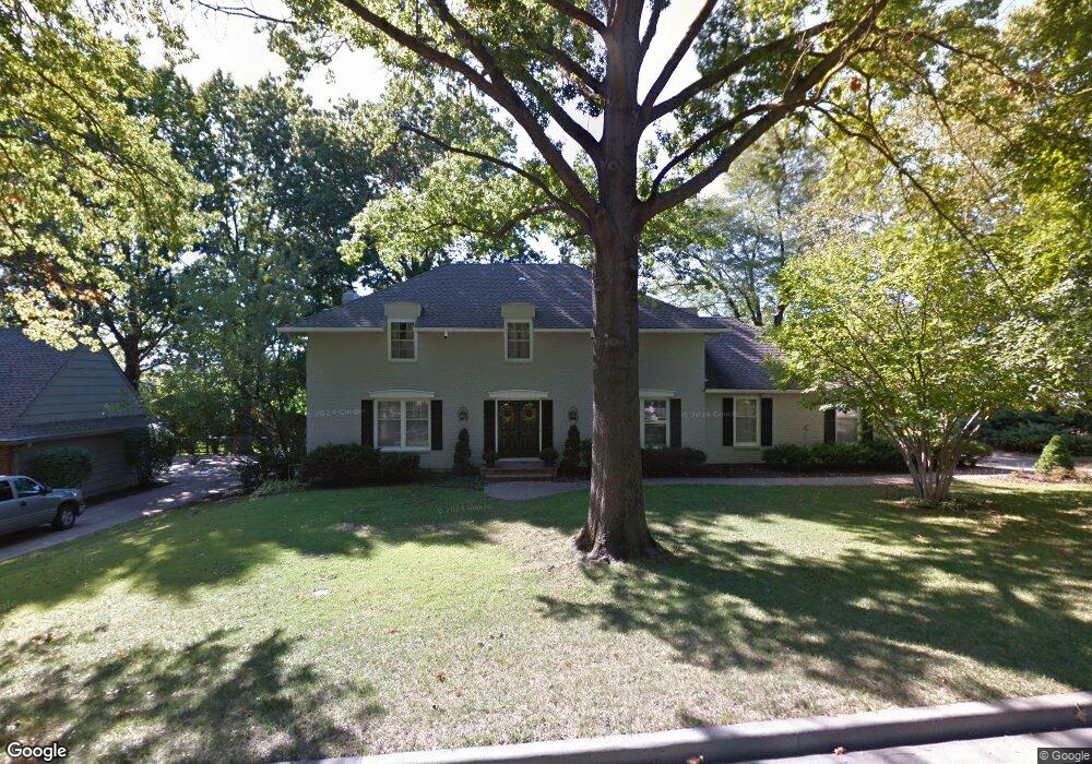
10400 Mohawk Ln Leawood, KS 66206
Estimated Value: $754,000 - $852,000
4
Beds
4
Baths
2,736
Sq Ft
$293/Sq Ft
Est. Value
About This Home
This home is located at 10400 Mohawk Ln, Leawood, KS 66206 and is currently estimated at $802,102, approximately $293 per square foot. 10400 Mohawk Ln is a home located in Johnson County with nearby schools including Brookwood Elementary School, Shawnee Mission South High School, and Indian Woods Middle School.
Ownership History
Date
Name
Owned For
Owner Type
Purchase Details
Closed on
Nov 27, 2007
Sold by
Roney Douglas R and Roney Jenni L
Bought by
Jermann David A and Stechschulte Ann C
Current Estimated Value
Home Financials for this Owner
Home Financials are based on the most recent Mortgage that was taken out on this home.
Original Mortgage
$43,500
Outstanding Balance
$27,718
Interest Rate
6.43%
Mortgage Type
Credit Line Revolving
Estimated Equity
$774,384
Purchase Details
Closed on
Sep 16, 2005
Sold by
Stechschulte Daniel J and Stechschulte Satu S A
Bought by
Roney Douglas R and Roney Jenni L
Home Financials for this Owner
Home Financials are based on the most recent Mortgage that was taken out on this home.
Original Mortgage
$110,000
Interest Rate
5.38%
Mortgage Type
New Conventional
Create a Home Valuation Report for This Property
The Home Valuation Report is an in-depth analysis detailing your home's value as well as a comparison with similar homes in the area
Home Values in the Area
Average Home Value in this Area
Purchase History
| Date | Buyer | Sale Price | Title Company |
|---|---|---|---|
| Jermann David A | -- | Assured Quality Title Co | |
| Roney Douglas R | -- | Kansas City Title |
Source: Public Records
Mortgage History
| Date | Status | Borrower | Loan Amount |
|---|---|---|---|
| Open | Jermann David A | $43,500 | |
| Previous Owner | Roney Douglas R | $110,000 |
Source: Public Records
Tax History Compared to Growth
Tax History
| Year | Tax Paid | Tax Assessment Tax Assessment Total Assessment is a certain percentage of the fair market value that is determined by local assessors to be the total taxable value of land and additions on the property. | Land | Improvement |
|---|---|---|---|---|
| 2024 | $8,819 | $82,800 | $21,032 | $61,768 |
| 2023 | $8,828 | $82,397 | $21,032 | $61,365 |
| 2022 | $7,716 | $72,174 | $18,293 | $53,881 |
| 2021 | $7,267 | $65,343 | $16,634 | $48,709 |
| 2020 | $6,814 | $60,386 | $15,128 | $45,258 |
| 2019 | $6,543 | $58,144 | $13,760 | $44,384 |
| 2018 | $6,648 | $58,857 | $12,505 | $46,352 |
| 2017 | $5,650 | $49,301 | $11,367 | $37,934 |
| 2016 | $5,755 | $49,565 | $9,090 | $40,475 |
| 2015 | $5,658 | $49,116 | $9,170 | $39,946 |
| 2013 | -- | $47,944 | $8,333 | $39,611 |
Source: Public Records
Map
Nearby Homes
- 10425 Mohawk Ln
- 10408 Howe Ln
- 10332 Cherokee Ln
- 10531 Mission Rd Unit 312
- 10531 Mission Rd Unit 310
- 10316 Howe Dr
- 10511 Mission Rd Unit 211A
- 10314 Manor Rd
- 3905 W 101st Terrace
- 4009 W 110th St
- 10315 High Dr
- 2301 W 103rd St
- 10314 Sagamore Ln
- 10310 Sagamore Ln
- 10221 El Monte St
- 10501 Sagamore Rd
- 3523 W 100th Terrace
- 2209 W 103rd St
- 10318 Sagamore Rd
- 4328 W 110th St
- 10404 Mohawk Ln
- 10340 Mohawk Ln
- 10401 Mohawk Ln
- 10343 Mohawk Rd
- 10341 Mohawk Ln
- 10408 Mohawk Ln
- 10336 Mohawk Ln
- 10405 Mohawk Ln
- 10337 Mohawk Ln
- 10409 Mohawk Ln
- 10407 Mohawk Rd
- 10412 Mohawk Ln
- 10400 Pawnee Ln
- 10404 Pawnee Ln
- 10340 Pawnee Ln
- 10333 Mohawk Ln
- 10413 Mohawk Ln
- 10336 Pawnee Ln
- 10408 Pawnee Ln
- 10350 Mohawk Rd