10404 Robins Nest Ln Gloucester, VA 23061
Ware Neck NeighborhoodEstimated Value: $441,000 - $553,000
3
Beds
3
Baths
2,179
Sq Ft
$229/Sq Ft
Est. Value
About This Home
This home is located at 10404 Robins Nest Ln, Gloucester, VA 23061 and is currently estimated at $498,354, approximately $228 per square foot. 10404 Robins Nest Ln is a home located in Gloucester County with nearby schools including Botetourt Elementary School, Peasley Middle School, and Gloucester High School.
Ownership History
Date
Name
Owned For
Owner Type
Purchase Details
Closed on
Jan 5, 2005
Sold by
County Of Gloucester
Bought by
County Of Gloucester
Current Estimated Value
Home Financials for this Owner
Home Financials are based on the most recent Mortgage that was taken out on this home.
Original Mortgage
$270,750
Outstanding Balance
$136,494
Interest Rate
5.83%
Mortgage Type
New Conventional
Estimated Equity
$361,860
Create a Home Valuation Report for This Property
The Home Valuation Report is an in-depth analysis detailing your home's value as well as a comparison with similar homes in the area
Home Values in the Area
Average Home Value in this Area
Purchase History
| Date | Buyer | Sale Price | Title Company |
|---|---|---|---|
| County Of Gloucester | $285,000 | None Available |
Source: Public Records
Mortgage History
| Date | Status | Borrower | Loan Amount |
|---|---|---|---|
| Open | County Of Gloucester | $270,750 |
Source: Public Records
Tax History Compared to Growth
Tax History
| Year | Tax Paid | Tax Assessment Tax Assessment Total Assessment is a certain percentage of the fair market value that is determined by local assessors to be the total taxable value of land and additions on the property. | Land | Improvement |
|---|---|---|---|---|
| 2025 | $2,356 | $383,718 | $88,250 | $295,468 |
| 2024 | $2,356 | $383,718 | $88,250 | $295,468 |
| 2023 | $2,237 | $383,718 | $88,250 | $295,468 |
| 2022 | $88 | $292,318 | $68,360 | $223,958 |
| 2021 | $2,032 | $292,318 | $68,360 | $223,958 |
| 2020 | $2,032 | $292,318 | $68,360 | $223,958 |
| 2019 | $1,844 | $265,388 | $75,950 | $189,438 |
| 2017 | $1,844 | $265,388 | $75,950 | $189,438 |
| 2016 | $1,935 | $278,418 | $75,950 | $202,468 |
| 2015 | $1,893 | $294,100 | $80,000 | $214,100 |
| 2014 | $1,912 | $294,100 | $80,000 | $214,100 |
Source: Public Records
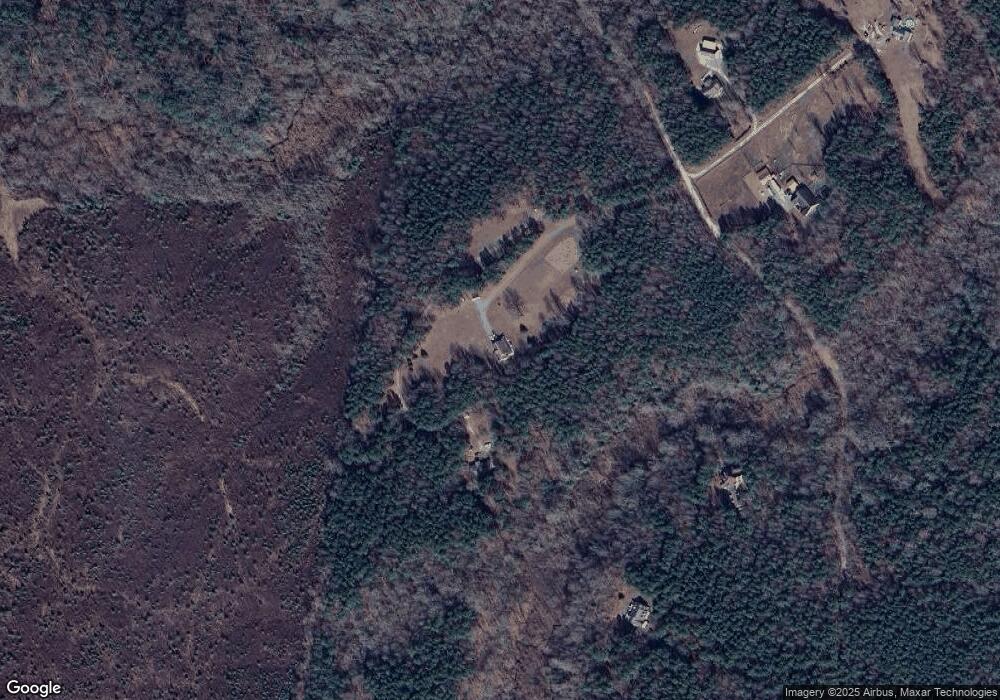
Map
Nearby Homes
- 10410 Robins Nest Ln
- 138+ acres Dutton Rd
- 138+ac Dutton Rd
- 10114 New Hope Ct
- 6592 Lake View Dr
- 10.88 AC Beech Creek Rd
- 00 New Upton Farms Ln
- Lot 57 Mountain Laurel Trail
- 10765 Farys Mill Rd
- 7472 Wagon Run Rd
- LOT 2 Riverwatch Dr
- 8 Riverwatch Dr
- 10665 Farys Mill Rd
- 1A Carter Hill St
- 12001 Harcum Rd
- 9851 Autumn Woods Ln
- 9789 Honey Tree Ct
- 12107 Harcum Rd
- 27 E West Pkwy
- 001 Beasley Dr
- 10292 Robins Nest Ln
- 10238 Robins Nest Ln
- 10389 Robins Nest Ln
- 10405 Robins Nest Ln
- 10391 Robins Nest Ln
- 10190 Robins Nest Ln
- 10203 Robins Nest Ln
- 10123 Robins Nest Ln
- 10122 Robins Nest Ln
- 10607 Harpers Farm Way
- 10639 Harpers Farm Way
- 11099 Harcum Rd
- 11085 Harcum Rd
- 11071 Harcum Rd
- 11113 Harcum Rd
- 11045 Harcum Rd
- 11133 Harcum Rd
- 10692 Harpers Farm Way
- 11031 Harcum Rd
- 11021 Harcum Rd