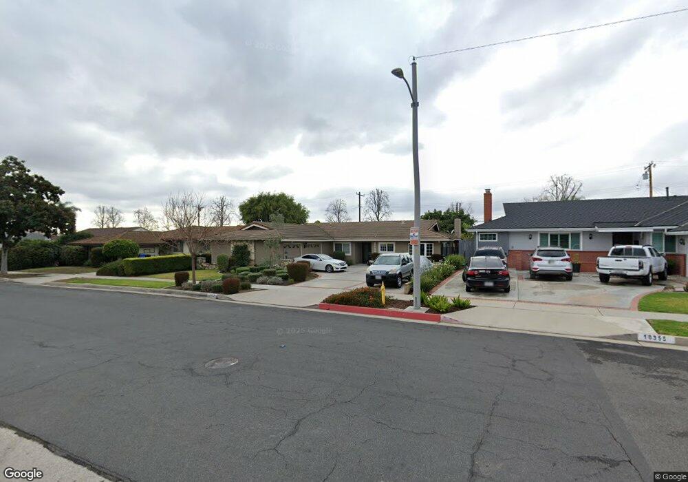
10405 Maybrook Ave Whittier, CA 90603
South Whittier NeighborhoodEstimated Value: $930,000 - $1,053,000
3
Beds
2
Baths
1,938
Sq Ft
$517/Sq Ft
Est. Value
About This Home
This home is located at 10405 Maybrook Ave, Whittier, CA 90603 and is currently estimated at $1,000,993, approximately $516 per square foot. 10405 Maybrook Ave is a home located in Los Angeles County with nearby schools including Macy Elementary School, Rancho-Starbuck Intermediate School, and La Habra High School.
Ownership History
Date
Name
Owned For
Owner Type
Purchase Details
Closed on
Apr 8, 2023
Sold by
Ainza Victor M and Ainza Sylvia E
Bought by
2023 S & V Ainza Revocable Trust and Ainza
Current Estimated Value
Purchase Details
Closed on
Feb 9, 2001
Sold by
Gray Uyvon
Bought by
Gray Uyvon and The William D Gray Sr & Uyvon Gray 1983
Home Financials for this Owner
Home Financials are based on the most recent Mortgage that was taken out on this home.
Original Mortgage
$285,000
Interest Rate
6.89%
Mortgage Type
Balloon
Purchase Details
Closed on
Jan 22, 2001
Sold by
Gray Uyvon
Bought by
Ainza Victor M
Home Financials for this Owner
Home Financials are based on the most recent Mortgage that was taken out on this home.
Original Mortgage
$285,000
Interest Rate
6.89%
Mortgage Type
Balloon
Create a Home Valuation Report for This Property
The Home Valuation Report is an in-depth analysis detailing your home's value as well as a comparison with similar homes in the area
Home Values in the Area
Average Home Value in this Area
Purchase History
| Date | Buyer | Sale Price | Title Company |
|---|---|---|---|
| 2023 S & V Ainza Revocable Trust | -- | None Listed On Document | |
| Gray Uyvon | -- | -- | |
| Ainza Victor M | $300,000 | American Title |
Source: Public Records
Mortgage History
| Date | Status | Borrower | Loan Amount |
|---|---|---|---|
| Previous Owner | Ainza Victor M | $285,000 |
Source: Public Records
Tax History Compared to Growth
Tax History
| Year | Tax Paid | Tax Assessment Tax Assessment Total Assessment is a certain percentage of the fair market value that is determined by local assessors to be the total taxable value of land and additions on the property. | Land | Improvement |
|---|---|---|---|---|
| 2025 | $5,613 | $452,026 | $262,629 | $189,397 |
| 2024 | $5,613 | $443,164 | $257,480 | $185,684 |
| 2023 | $5,549 | $434,476 | $252,432 | $182,044 |
| 2022 | $5,480 | $425,958 | $247,483 | $178,475 |
| 2021 | $5,354 | $417,607 | $242,631 | $174,976 |
| 2019 | $5,196 | $405,223 | $235,436 | $169,787 |
| 2018 | $4,846 | $397,278 | $230,820 | $166,458 |
| 2016 | $4,617 | $381,854 | $221,858 | $159,996 |
| 2015 | $4,447 | $376,119 | $218,526 | $157,593 |
| 2014 | $4,367 | $368,752 | $214,246 | $154,506 |
Source: Public Records
Map
Nearby Homes
- 10303 Pounds Ave
- 16540 Whittier Blvd
- 10418 Bogardus Ave
- 2401 Canfield Dr
- 2311 Canfield Dr
- 2611 Gregory Ln
- 9331 Mikinda Ave
- 16635 Monte Oro Dr
- 16164 Leffco Rd
- 16046 Gables Loop
- 9422 Canfield Dr
- 1436 La Riata Dr
- 16121 Lisco St
- 16875 Sausalito Dr
- 9915 Corella Ave
- 1000 Dolores St
- 2100 Gregory Ln
- 1525 Bonnie Jean Ln
- 0 Cloister Dr Unit OC24116252
- 10931 Groveside Ave
- 10355 Maybrook Ave
- 10411 Maybrook Ave
- 10408 Larrylyn Dr
- 10423 Maybrook Ave
- 10402 Larrylyn Dr
- 10347 Maybrook Ave
- 10414 Larrylyn Dr
- 16534 Shady Valley Ln
- 10346 Larrylyn Dr
- 10422 Larrylyn Dr
- 16535 Shady Valley Ln
- 10429 Maybrook Ave
- 10339 Maybrook Ave
- 16537 Nearside St
- 10340 Larrylyn Dr
- 10428 Larrylyn Dr
- 16540 Shady Valley Ln
- 16543 Shady Valley Ln
- 10435 Maybrook Ave
- 10338 Maybrook Ave