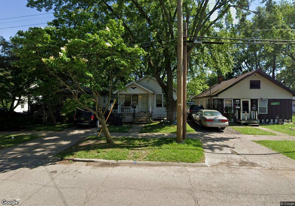
1041 Alvord Ave Flint, MI 48507
South Side NeighborhoodEstimated Value: $39,000 - $44,000
2
Beds
1
Bath
704
Sq Ft
$60/Sq Ft
Est. Value
About This Home
This home is located at 1041 Alvord Ave, Flint, MI 48507 and is currently estimated at $42,230, approximately $59 per square foot. 1041 Alvord Ave is a home located in Genesee County with nearby schools including Neithercut Elementary School, Flint Southwestern Classical Academy, and International Academy of Flint (K-12).
Ownership History
Date
Name
Owned For
Owner Type
Purchase Details
Closed on
Nov 4, 2020
Sold by
Bell Christopher L
Bought by
Roumaya David S
Current Estimated Value
Purchase Details
Closed on
Oct 4, 2019
Sold by
Woods Sandra R
Bought by
Bell Christopher L
Purchase Details
Closed on
Apr 5, 2019
Sold by
Ferguson Gregory
Bought by
Woods Sandra R
Purchase Details
Closed on
Feb 6, 2019
Sold by
Brown Cecil and Brown Shirley
Bought by
Ferguson Gregory
Purchase Details
Closed on
Oct 10, 2014
Sold by
Brown Shirley A
Bought by
Brown Shirley A and Brown Cecil W
Purchase Details
Closed on
May 12, 2008
Sold by
Brown Shirley A and Bates Elfie M
Bought by
Brown Shirley A
Create a Home Valuation Report for This Property
The Home Valuation Report is an in-depth analysis detailing your home's value as well as a comparison with similar homes in the area
Home Values in the Area
Average Home Value in this Area
Purchase History
| Date | Buyer | Sale Price | Title Company |
|---|---|---|---|
| Roumaya David S | -- | None Available | |
| Bell Christopher L | -- | None Available | |
| Woods Sandra R | -- | None Available | |
| Ferguson Gregory | -- | None Available | |
| Brown Shirley A | -- | None Available | |
| Brown Shirley A | -- | None Available |
Source: Public Records
Tax History Compared to Growth
Tax History
| Year | Tax Paid | Tax Assessment Tax Assessment Total Assessment is a certain percentage of the fair market value that is determined by local assessors to be the total taxable value of land and additions on the property. | Land | Improvement |
|---|---|---|---|---|
| 2025 | $908 | $13,300 | $0 | $0 |
| 2024 | $846 | $13,500 | $0 | $0 |
| 2023 | $831 | $10,800 | $0 | $0 |
| 2022 | $0 | $8,900 | $0 | $0 |
| 2021 | $840 | $7,900 | $0 | $0 |
| 2020 | $785 | $7,900 | $0 | $0 |
| 2019 | $764 | $8,100 | $0 | $0 |
| 2018 | $741 | $7,800 | $0 | $0 |
| 2017 | $724 | $0 | $0 | $0 |
| 2016 | $719 | $0 | $0 | $0 |
| 2015 | -- | $0 | $0 | $0 |
| 2014 | -- | $0 | $0 | $0 |
| 2012 | -- | $9,600 | $0 | $0 |
Source: Public Records
Map
Nearby Homes
- 1015 Alvord Ave
- 1212 Crawford St
- 1234 Huron St
- 1031 Ingleside Ave
- 1310 Huron St
- 1228 Leland St
- 1210 Pinehurst Ave
- 1028 Campbell St
- 1318 Ingleside Ave
- 1122 Markham St
- 1314 Pinehurst Ave
- 1418 Blueberry Ln
- 1130 W Atherton Rd
- 1039 Markham St
- 1410 Berrywood Ln
- 4418 Brunswick Ave
- 1225 Waldman Ave
- 845 Alvord Ave
- 829 Clinton St
- 818 Alvord Ave
- 1101 Alvord Ave
- 1039 Alvord Ave
- 1109 Alvord Ave
- 1044 Huron St
- 1035 Alvord Ave
- 1102 Huron St
- 1117 Alvord Ave
- 1110 Huron St
- 1032 Huron St
- 1027 Alvord Ave
- 1114 Huron St
- 1024 Huron St
- 1044 Alvord Ave
- 1102 Alvord Ave
- 1106 Alvord Ave
- 1118 Huron St
- 1034 Alvord Ave
- 1019 Alvord Ave
- 1114 Alvord Ave
- 1122 Huron St