1041 Beard Dr Lincolnton, GA 30817
Estimated Value: $142,562 - $560,000
2
Beds
1
Bath
1,188
Sq Ft
$266/Sq Ft
Est. Value
About This Home
This home is located at 1041 Beard Dr, Lincolnton, GA 30817 and is currently estimated at $315,891, approximately $265 per square foot. 1041 Beard Dr is a home located in Lincoln County with nearby schools including Lincoln County Elementary School, Lincoln County Middle School, and Lincoln County High School.
Ownership History
Date
Name
Owned For
Owner Type
Purchase Details
Closed on
Nov 8, 1993
Sold by
Farmers Home Administration
Bought by
West Regina M
Current Estimated Value
Purchase Details
Closed on
Oct 12, 1984
Sold by
Farmers Home Admr
Bought by
Jennings Walter and Jennings Carol M
Purchase Details
Closed on
Nov 2, 1983
Sold by
Hawes Eloise
Bought by
Farmers Home Admr
Purchase Details
Closed on
Sep 28, 1982
Sold by
Chalker Donald G
Bought by
Hawes Eloise
Purchase Details
Closed on
Jun 28, 1982
Sold by
Wlaker John Henry and Wlaker Emma
Bought by
Chalker Donald G
Purchase Details
Closed on
Apr 30, 1971
Sold by
Reed Talmadge B
Bought by
Walker John Henry and Walker Emma
Create a Home Valuation Report for This Property
The Home Valuation Report is an in-depth analysis detailing your home's value as well as a comparison with similar homes in the area
Purchase History
| Date | Buyer | Sale Price | Title Company |
|---|---|---|---|
| West Regina M | $38,400 | -- | |
| Jennings Walter | $29,000 | -- | |
| Farmers Home Admr | -- | -- | |
| Hawes Eloise | $23,600 | -- | |
| Chalker Donald G | $18,600 | -- | |
| Walker John Henry | -- | -- |
Source: Public Records
Tax History
| Year | Tax Paid | Tax Assessment Tax Assessment Total Assessment is a certain percentage of the fair market value that is determined by local assessors to be the total taxable value of land and additions on the property. | Land | Improvement |
|---|---|---|---|---|
| 2025 | $1,065 | $31,396 | $1,400 | $29,996 |
| 2024 | $979 | $28,676 | $1,400 | $27,276 |
| 2023 | $670 | $25,484 | $1,400 | $24,084 |
| 2022 | $832 | $24,484 | $1,400 | $23,084 |
| 2021 | $835 | $22,328 | $1,400 | $20,928 |
| 2020 | $797 | $18,008 | $1,400 | $16,608 |
| 2019 | $799 | $18,008 | $1,400 | $16,608 |
| 2018 | $566 | $18,008 | $1,400 | $16,608 |
| 2017 | $580 | $18,465 | $1,400 | $17,065 |
| 2016 | $753 | $18,465 | $1,400 | $17,065 |
| 2015 | -- | $18,465 | $1,400 | $17,065 |
| 2014 | -- | $18,465 | $1,400 | $17,065 |
| 2013 | -- | $18,465 | $1,400 | $17,065 |
Source: Public Records
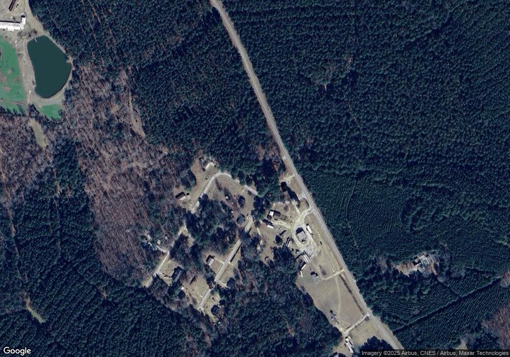
Map
Nearby Homes
- 1050 Jones Martin Rd
- 1960 White Rock Rd
- 1192 Williams Cir
- 1460 Leathersville Rd
- 27.2 Ac John Lewis Dr
- 1494 Cartledge Rd
- 0 Mercier Rd Unit 553631
- 0 Ga-220 Unit 552506
- 0 Ga-220 Unit 541923
- 0 Mariners Way Unit 549675
- 0 Mariners Way Unit 549674
- 40 Landing Loop
- 1956 Piney Woods Rd
- 32 Eagle Pointe
- 1905 Augusta Hwy
- 000 Georgia 220
- 125 Elm St
- 213 Lumber St
- 00 Crook Rd
- 0 Backway Rd
- 2383 Leathersville Rd
- 2405 Leathersville Rd
- 1006 Ramsey Dr
- 1065 Beard Dr
- 1022 Beard Dr
- 00 Beard Dr
- 0 Beard Dr
- 1032 Ramsey Dr
- 1107 Beard Dr
- 1056 Ramsey Dr
- 1019 Ramsey Dr
- 1057 Ramsey Dr
- 1127 Beard Dr
- 1083 Ramsey Dr
- 1082 Ramsey Dr
- 1077 Johnson Ln Unit TRACT A
- 2479 Leathersville Rd
- 2476 Leathersville Rd
- 2981 Jones Chapel Rd
- 2481 Leathersville Rd
Your Personal Tour Guide
Ask me questions while you tour the home.