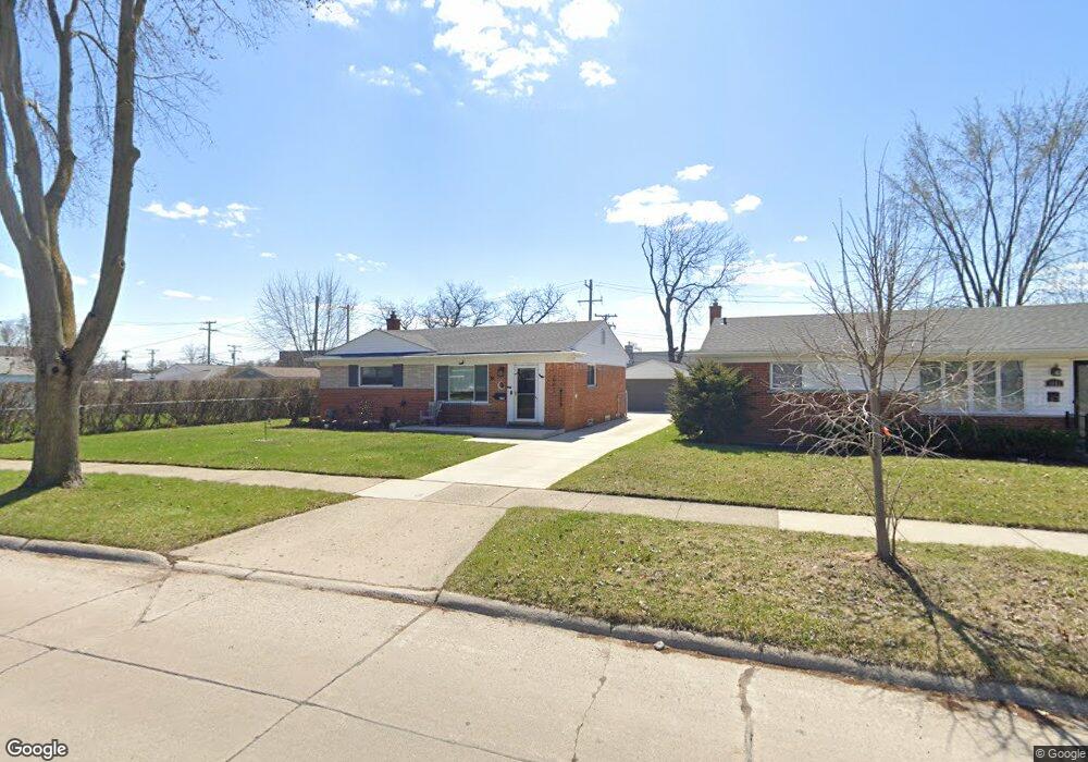
1041 Broadacre Ave Clawson, MI 48017
Estimated Value: $270,000 - $316,500
3
Beds
2
Baths
1,007
Sq Ft
$293/Sq Ft
Est. Value
About This Home
This home is located at 1041 Broadacre Ave, Clawson, MI 48017 and is currently estimated at $295,375, approximately $293 per square foot. 1041 Broadacre Ave is a home located in Oakland County with nearby schools including Clawson High School, Japhet School, and Guardian Angels School.
Ownership History
Date
Name
Owned For
Owner Type
Purchase Details
Closed on
May 19, 2005
Sold by
The Egan Living Trust and Bertucci Donald B
Bought by
Mullen Faith A
Current Estimated Value
Home Financials for this Owner
Home Financials are based on the most recent Mortgage that was taken out on this home.
Original Mortgage
$15,600
Outstanding Balance
$8,275
Interest Rate
5.91%
Mortgage Type
Credit Line Revolving
Estimated Equity
$287,101
Purchase Details
Closed on
Jul 26, 2000
Sold by
Egan Patrick J
Bought by
Egan Trust
Create a Home Valuation Report for This Property
The Home Valuation Report is an in-depth analysis detailing your home's value as well as a comparison with similar homes in the area
Home Values in the Area
Average Home Value in this Area
Purchase History
| Date | Buyer | Sale Price | Title Company |
|---|---|---|---|
| Mullen Faith A | $155,900 | -- | |
| Egan Trust | -- | -- |
Source: Public Records
Mortgage History
| Date | Status | Borrower | Loan Amount |
|---|---|---|---|
| Open | Mullen Faith A | $15,600 | |
| Previous Owner | Mullen Faith A | $124,700 |
Source: Public Records
Tax History Compared to Growth
Tax History
| Year | Tax Paid | Tax Assessment Tax Assessment Total Assessment is a certain percentage of the fair market value that is determined by local assessors to be the total taxable value of land and additions on the property. | Land | Improvement |
|---|---|---|---|---|
| 2024 | $3,183 | $131,610 | $0 | $0 |
| 2023 | $3,052 | $122,440 | $0 | $0 |
| 2022 | $3,076 | $113,270 | $0 | $0 |
| 2021 | $3,013 | $105,070 | $0 | $0 |
| 2020 | $2,919 | $98,350 | $0 | $0 |
| 2019 | $2,939 | $90,600 | $0 | $0 |
| 2018 | $2,918 | $84,830 | $0 | $0 |
| 2017 | $2,901 | $81,420 | $0 | $0 |
| 2016 | $2,939 | $76,080 | $0 | $0 |
| 2015 | -- | $69,190 | $0 | $0 |
| 2014 | -- | $60,220 | $0 | $0 |
| 2011 | -- | $56,230 | $0 | $0 |
Source: Public Records
Map
Nearby Homes
- 232 S Manitou Ave
- 4909 Crooks Rd Unit C7
- 4909 Crooks Rd Unit 4
- 846 Phillips Ave
- 4921 N Crooks Rd Unit N-10
- 406 S Webik Ave
- 4921 Crooks Rd Unit M-10
- 609 John M Ave
- 515 S Webik Ave
- 496 Langley Blvd
- 4952 Coventry St Unit 315
- 908 W Elmwood Ave
- 290 Broadacre Ave
- 351 W Baker Ave
- Fairfax Plan at The Village at Clawson Park
- Penrose Plan at The Village at Clawson Park
- 1500 Normandy Rd Unit 216
- 4909 Coventry St Unit 287
- 1806 Torquay Ave
- 1936 Torquay Ave Unit 205
- 1051 Broadacre Ave
- 1061 Broadacre Ave
- 135 N Manitou Ave
- 151 N Manitou Ave
- 1101 Broadacre Ave
- 1040 Broadacre Ave
- 1072 W 14 Mile Rd
- 1111 Broadacre Ave
- 1020 Broadacre Ave Unit Bldg-Unit
- 1020 Broadacre Ave
- 1060 W 14 Mile Rd
- 1060 W 14 Mile Rd Unit 210
- 1060 W 14 Mile Rd Unit 208
- 1060 W 14 Mile Rd
- 199 N Chocolay Ave
- 1060 W 14 Mile 2nd Floor#2 Rd
- 1060 W 14 Mile 2nd Floor #1 Rd
- 1008 Broadacre Ave
- 1121 Broadacre Ave
- 220 N Chocolay Ave