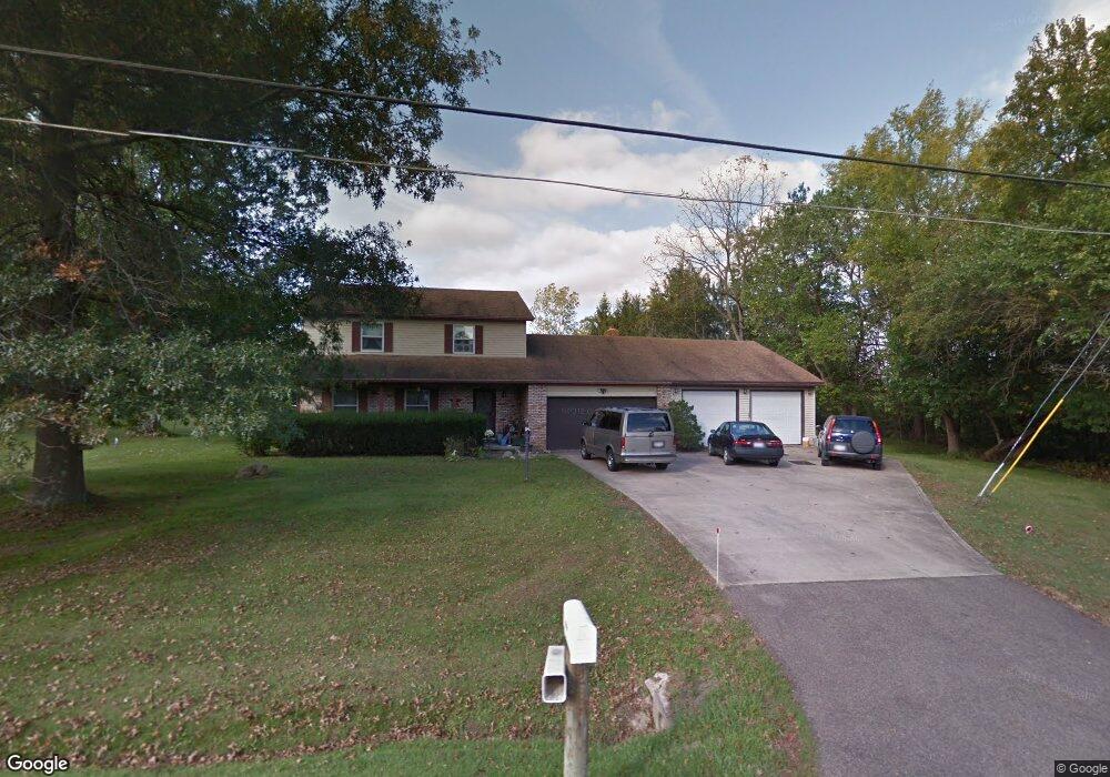
1041 Chew Rd Mansfield, OH 44903
Estimated Value: $229,000 - $296,000
3
Beds
3
Baths
1,860
Sq Ft
$138/Sq Ft
Est. Value
About This Home
This home is located at 1041 Chew Rd, Mansfield, OH 44903 and is currently estimated at $256,961, approximately $138 per square foot. 1041 Chew Rd is a home located in Richland County with nearby schools including Madison High School, St. Peter's Elementary/Montessori School, and St. Peter's Junior High / High School.
Ownership History
Date
Name
Owned For
Owner Type
Purchase Details
Closed on
May 18, 1999
Sold by
Howard Michael J
Bought by
Davidson Doane M
Current Estimated Value
Purchase Details
Closed on
May 10, 1993
Sold by
Hairston James H
Bought by
Howard Michael J
Create a Home Valuation Report for This Property
The Home Valuation Report is an in-depth analysis detailing your home's value as well as a comparison with similar homes in the area
Home Values in the Area
Average Home Value in this Area
Purchase History
| Date | Buyer | Sale Price | Title Company |
|---|---|---|---|
| Davidson Doane M | $104,000 | -- | |
| Howard Michael J | $87,000 | -- |
Source: Public Records
Tax History
| Year | Tax Paid | Tax Assessment Tax Assessment Total Assessment is a certain percentage of the fair market value that is determined by local assessors to be the total taxable value of land and additions on the property. | Land | Improvement |
|---|---|---|---|---|
| 2024 | $2,396 | $55,840 | $7,080 | $48,760 |
| 2023 | $2,450 | $55,840 | $7,080 | $48,760 |
| 2022 | $2,289 | $46,570 | $6,610 | $39,960 |
| 2021 | $2,321 | $46,570 | $6,610 | $39,960 |
| 2020 | $2,188 | $46,570 | $6,610 | $39,960 |
| 2019 | $2,062 | $39,470 | $5,600 | $33,870 |
| 2018 | $2,043 | $39,470 | $5,600 | $33,870 |
| 2017 | $2,003 | $39,470 | $5,600 | $33,870 |
| 2016 | $2,088 | $40,000 | $4,070 | $35,930 |
| 2015 | $1,971 | $40,000 | $4,070 | $35,930 |
| 2014 | $1,964 | $40,000 | $4,070 | $35,930 |
| 2012 | $1,904 | $41,240 | $4,200 | $37,040 |
Source: Public Records
Map
Nearby Homes
- 1715 Mansfield Lucas Rd
- 0 Woodville Rd Unit Lot 14952, 14953
- 0 Woodville Rd Unit Lot 14954, 14955
- 0 Woodville Rd Unit Lot 14956, 14957,
- 0 State Route 39 & I-71 Southeast Quadrant
- 0 State Route 39 & I-71 Northeast Quadrant
- 794 Mansfield Washington Rd
- 716 Mansfield Washington Rd
- 2420 Mansfield Washington Rd
- 537 Woodville Rd
- 1290 Bonnie Dr
- 50 Lilac Ct E
- 1599 S Main St
- 65 Logan Rd
- 1851 State Route 39
- 33 Rambleside Dr
- 430 Beethoven St
- 62 Bahl Ave
- 519 S Diamond St
- 5 N Ridge Rd
- 1029 Chew Rd
- 1046 Chew Rd
- 1021 Chew Rd
- 1017 Chew Rd
- 1083 Chew Rd
- 0 Sandy Ln
- 1014 Chew Rd
- 995 Chew Rd
- 1701 Mansfield Lucas Rd
- 1110 Chew Rd
- 1665 Mansfield Lucas Rd
- 1665 Mansfield Lucas Rd
- 988 Chew Rd
- 1128 Chew Rd
- 1745 Mansfield Lucas Rd
- 1121 Chew Rd
- 1288 Max Walton Dr
- 1714 Mansfield Lucas Rd
- 1694 Mansfield Lucas Rd
- 1130 Chew Rd
Your Personal Tour Guide
Ask me questions while you tour the home.