1041 Mine Hill Rd Fairfield, CT 06824
Greenfield Hill NeighborhoodEstimated Value: $3,166,000 - $3,979,066
4
Beds
6
Baths
9,571
Sq Ft
$377/Sq Ft
Est. Value
About This Home
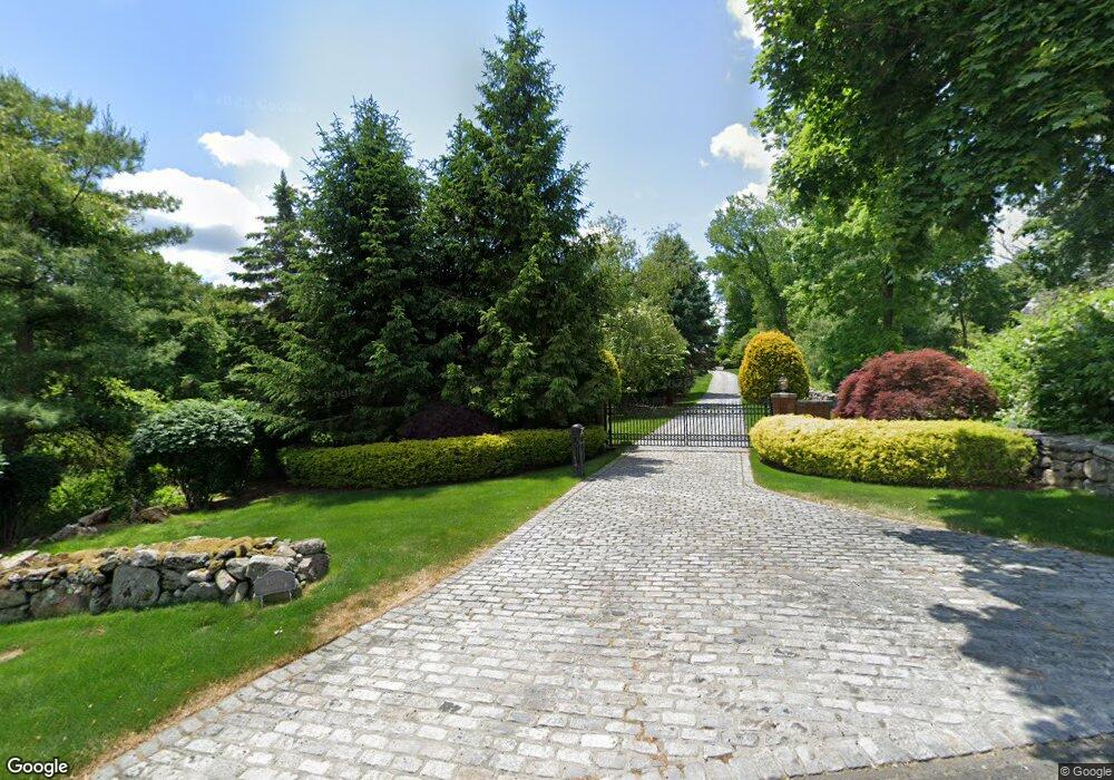
This home is located at 1041 Mine Hill Rd, Fairfield, CT 06824 and is currently estimated at $3,606,355, approximately $376 per square foot. 1041 Mine Hill Rd is a home located in Fairfield County with nearby schools including Dwight Elementary School, Roger Ludlowe Middle School, and Fairfield Ludlowe High School.
Ownership History
Date
Name
Owned For
Owner Type
Purchase Details
Closed on
May 28, 1997
Sold by
Grune George V and Grune Betty Lu
Bought by
Sauska Christian L
Current Estimated Value
Purchase Details
Closed on
Aug 14, 1992
Sold by
Papell Alan and Daddario Virginia
Bought by
Grune George and Grune Betty
Create a Home Valuation Report for This Property
The Home Valuation Report is an in-depth analysis detailing your home's value as well as a comparison with similar homes in the area
Home Values in the Area
Average Home Value in this Area
Purchase History
| Date | Buyer | Sale Price | Title Company |
|---|---|---|---|
| Sauska Christian L | $695,000 | -- | |
| Sauska Christian L | $695,000 | -- | |
| Grune George | $840,000 | -- | |
| Grune George V | $840,000 | -- |
Source: Public Records
Mortgage History
| Date | Status | Borrower | Loan Amount |
|---|---|---|---|
| Closed | Grune George V | $3,000,000 | |
| Closed | Grune George V | $3,640,000 |
Source: Public Records
Tax History
| Year | Tax Paid | Tax Assessment Tax Assessment Total Assessment is a certain percentage of the fair market value that is determined by local assessors to be the total taxable value of land and additions on the property. | Land | Improvement |
|---|---|---|---|---|
| 2025 | $61,024 | $2,149,490 | $505,050 | $1,644,440 |
| 2024 | $59,971 | $2,149,490 | $505,050 | $1,644,440 |
| 2023 | $59,132 | $2,149,490 | $505,050 | $1,644,440 |
| 2022 | $58,552 | $2,149,490 | $505,050 | $1,644,440 |
| 2021 | $57,993 | $2,149,490 | $505,050 | $1,644,440 |
| 2020 | $68,450 | $2,555,070 | $628,950 | $1,926,120 |
| 2019 | $68,450 | $2,555,070 | $628,950 | $1,926,120 |
| 2018 | $67,352 | $2,555,070 | $628,950 | $1,926,120 |
| 2017 | $65,972 | $2,555,070 | $628,950 | $1,926,120 |
| 2016 | $65,027 | $2,555,070 | $628,950 | $1,926,120 |
| 2015 | $67,177 | $2,709,840 | $652,820 | $2,057,020 |
| 2014 | $66,120 | $2,709,840 | $652,820 | $2,057,020 |
Source: Public Records
Map
Nearby Homes
- 3674 Congress St
- 1380 Old Academy Rd
- 2683 Bronson Rd
- 281 Wood House Rd
- 148 Millspaugh Dr
- 22 Brett Rd
- 4800 Congress St
- 312 Towne House Rd
- 360 Duck Farm Rd
- 218 Lower Farm Rd
- 110 Queens Grant Dr
- 54 Ridgedale Rd
- 158 Coventry Ln
- 210 Pansy Rd
- 175 Winnepoge Dr
- 688 Hulls Farm Rd
- 2177 Cross Hwy
- 180 Catamount Rd
- 88 Merry Meet Cir
- 200 Long Meadow Rd
- 1135 Mine Hill Rd
- 1680 Hillside Rd
- 1580 Hillside Rd
- 1055 Mine Hill Rd
- 1130 Mine Hill Rd
- 1610 Hillside Rd
- 931 Mine Hill Rd
- 1204 Mine Hill Rd
- 1760 Hillside Rd
- 1514 Hillside Rd
- 1514 Hillside Rd Unit RNTL
- 1800 Hillside Rd
- 1197 Mine Hill Rd
- 1681 Hillside Rd
- 680 Old Academy Rd
- 61 Laurel Brook Ln
- 1852 Hillside Rd
- 30 Laurel Brook Ln
- 1214 Mine Hill Rd
- 1235 Mine Hill Rd
Your Personal Tour Guide
Ask me questions while you tour the home.