1041 Queensgate Dr SE Unit 1 Smyrna, GA 30082
Estimated Value: $720,000 - $797,000
4
Beds
4
Baths
3,023
Sq Ft
$248/Sq Ft
Est. Value
About This Home
This home is located at 1041 Queensgate Dr SE Unit 1, Smyrna, GA 30082 and is currently estimated at $751,096, approximately $248 per square foot. 1041 Queensgate Dr SE Unit 1 is a home located in Cobb County with nearby schools including King Springs Elementary School, Griffin Middle School, and Campbell High School.
Ownership History
Date
Name
Owned For
Owner Type
Purchase Details
Closed on
Mar 27, 2006
Sold by
Turner Aaron P and Turner Andrea J
Bought by
Drinkard Rodney S
Current Estimated Value
Home Financials for this Owner
Home Financials are based on the most recent Mortgage that was taken out on this home.
Original Mortgage
$308,800
Outstanding Balance
$175,139
Interest Rate
6.23%
Mortgage Type
New Conventional
Estimated Equity
$575,957
Purchase Details
Closed on
Oct 15, 1998
Sold by
Traton Corp Of Cobb Inc
Bought by
Scherr Mark D and Scherr Traci A
Home Financials for this Owner
Home Financials are based on the most recent Mortgage that was taken out on this home.
Original Mortgage
$205,000
Interest Rate
6.58%
Mortgage Type
New Conventional
Create a Home Valuation Report for This Property
The Home Valuation Report is an in-depth analysis detailing your home's value as well as a comparison with similar homes in the area
Home Values in the Area
Average Home Value in this Area
Purchase History
| Date | Buyer | Sale Price | Title Company |
|---|---|---|---|
| Drinkard Rodney S | $386,000 | -- | |
| Scherr Mark D | $256,400 | -- |
Source: Public Records
Mortgage History
| Date | Status | Borrower | Loan Amount |
|---|---|---|---|
| Open | Drinkard Rodney S | $308,800 | |
| Previous Owner | Scherr Mark D | $205,000 |
Source: Public Records
Tax History Compared to Growth
Tax History
| Year | Tax Paid | Tax Assessment Tax Assessment Total Assessment is a certain percentage of the fair market value that is determined by local assessors to be the total taxable value of land and additions on the property. | Land | Improvement |
|---|---|---|---|---|
| 2025 | $6,234 | $282,772 | $80,000 | $202,772 |
| 2024 | $6,234 | $282,772 | $80,000 | $202,772 |
| 2023 | $5,018 | $243,868 | $44,000 | $199,868 |
| 2022 | $4,677 | $197,476 | $44,000 | $153,476 |
| 2021 | $4,702 | $197,476 | $44,000 | $153,476 |
| 2020 | $4,481 | $185,836 | $44,000 | $141,836 |
| 2019 | $4,481 | $185,836 | $44,000 | $141,836 |
| 2018 | $4,079 | $164,736 | $44,000 | $120,736 |
| 2017 | $3,852 | $164,736 | $44,000 | $120,736 |
| 2016 | $3,557 | $149,164 | $48,000 | $101,164 |
| 2015 | $3,641 | $149,164 | $48,000 | $101,164 |
| 2014 | $2,944 | $120,300 | $0 | $0 |
Source: Public Records
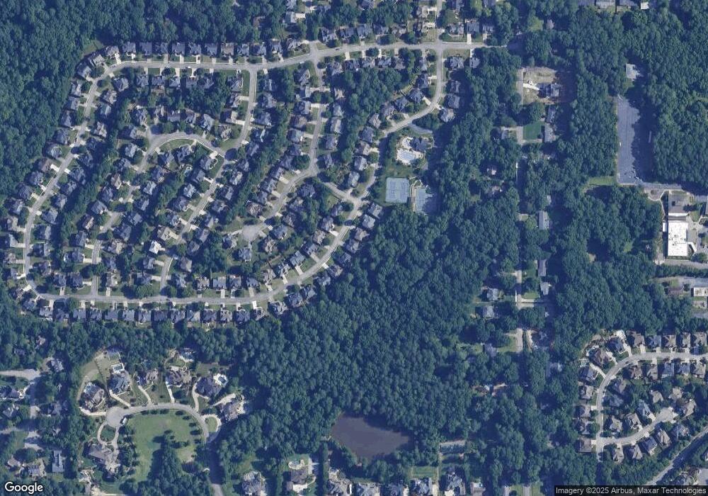
Map
Nearby Homes
- 4398 King Valley 3-5 Dr SE
- 1106 Queensgate Dr SE Unit 3
- 4381 King Valley Dr SE
- 1224 Kenway Cir SE
- 608 Green Valley Dr
- 608 & 612 Green Valley Dr
- 634 Green Valley Dr SE
- 951 Reed Rd SE
- 1181 Parkland Run SE
- 931 Hidden Falls Ln SE
- 4206 Hardy Ave
- 4204 Hardy Ave
- 2163 Berryhill Cir SE
- 2158 Berryhill Cir SE
- 3941 Lake Dr SE
- 505 Bridge Ln SE
- 502 Bridge Ln SE
- 576 N Thomas Ln SE
- 904 Bridge Ln SE
- 303 Mill Pond Ct SE
- 1039 Queensgate Dr SE
- 1043 Queensgate Dr SE Unit 1
- 0 Queensgate Dr SE
- 1037 Queensgate Dr SE Unit 1
- 1042 Queensgate Dr SE Unit 1
- 1045 Queensgate Dr SE Unit 1
- 4050 Kenway Place SE Unit 147
- 4050 Kenway Place SE
- 1040 Queensgate Dr SE
- 1040 Queensgate Dr SE
- 1035 Queensgate Dr SE Unit 1
- 1047 Queensgate Dr SE Unit 1
- 1044 Queensgate Dr SE
- 1046 Queensgate Dr SE
- 1049 Queensgate Dr SE
- 4107 Kenway Ct SE Unit 1
- 4049 Kenway Place SE
- 4105 Kenway Ct SE
- 4111 Kenway Ct SE Unit 1
- 4101 Kenway Ct SE