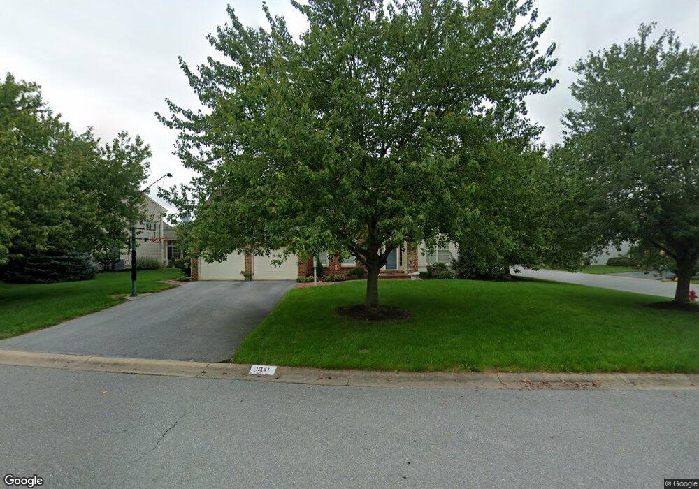
1041 Roesser Dr Lancaster, PA 17601
Landis Valley NeighborhoodEstimated Value: $484,474 - $560,000
4
Beds
3
Baths
2,006
Sq Ft
$266/Sq Ft
Est. Value
About This Home
This home is located at 1041 Roesser Dr, Lancaster, PA 17601 and is currently estimated at $533,619, approximately $266 per square foot. 1041 Roesser Dr is a home located in Lancaster County with nearby schools including Nitrauer School, Landis Run Intermediate School, and Manheim Township Middle School.
Ownership History
Date
Name
Owned For
Owner Type
Purchase Details
Closed on
Sep 28, 2000
Sold by
Dwivedi Anil M and Dwivedi Mamta
Bought by
Stambaugh Charles A and Stambaugh Marylou A
Current Estimated Value
Home Financials for this Owner
Home Financials are based on the most recent Mortgage that was taken out on this home.
Original Mortgage
$150,000
Interest Rate
7.64%
Create a Home Valuation Report for This Property
The Home Valuation Report is an in-depth analysis detailing your home's value as well as a comparison with similar homes in the area
Home Values in the Area
Average Home Value in this Area
Purchase History
| Date | Buyer | Sale Price | Title Company |
|---|---|---|---|
| Stambaugh Charles A | $200,000 | -- |
Source: Public Records
Mortgage History
| Date | Status | Borrower | Loan Amount |
|---|---|---|---|
| Previous Owner | Stambaugh Charles A | $150,000 |
Source: Public Records
Tax History Compared to Growth
Tax History
| Year | Tax Paid | Tax Assessment Tax Assessment Total Assessment is a certain percentage of the fair market value that is determined by local assessors to be the total taxable value of land and additions on the property. | Land | Improvement |
|---|---|---|---|---|
| 2025 | $5,877 | $271,600 | $68,100 | $203,500 |
| 2024 | $5,877 | $271,600 | $68,100 | $203,500 |
| 2023 | $5,723 | $271,600 | $68,100 | $203,500 |
| 2022 | $5,627 | $271,600 | $68,100 | $203,500 |
| 2021 | $5,501 | $271,600 | $68,100 | $203,500 |
| 2020 | $5,501 | $271,600 | $68,100 | $203,500 |
| 2019 | $5,448 | $271,600 | $68,100 | $203,500 |
| 2018 | $3,997 | $271,600 | $68,100 | $203,500 |
| 2017 | $5,216 | $205,000 | $57,000 | $148,000 |
| 2016 | $5,216 | $205,000 | $57,000 | $148,000 |
| 2015 | $1,311 | $205,000 | $57,000 | $148,000 |
| 2014 | $3,713 | $205,000 | $57,000 | $148,000 |
Source: Public Records
Map
Nearby Homes
- 2475 Oregon Pike
- 1012 Whitfield Dr
- 1041 Hunsicker Rd
- 212 Greenview Dr Unit T2212
- 20 Valleybrook Dr Unit 20
- 71 Valleybrook Dr Unit 71
- 2524 Saddle Dr
- 202 Valleybrook Dr Unit 202
- 333 Valleybrook Dr
- 0 Butter Rd
- 0 Butter Rd
- 441 Valleybrook Dr
- 2635 Beechwood Rd
- 605 Kincaid Ave
- 397 Valleybrook Dr
- 672 Stockdale Dr
- 539 Sierra Ln
- 1217 Hunsicker Rd
- 548 E Delp Rd
- 8 Ponderosa Dr
- 1037 Roesser Dr
- 1046 Lehn Dr
- 1033 Roesser Dr
- 1059 Lehn Dr
- 1051 Lehn Dr
- 1058 Roesser Dr
- 1054 Roesser Dr
- 1050 Roesser Dr
- 1055 Lehn Dr
- 1063 Lehn Dr
- 1042 Lehn Dr
- 1029 Roesser Dr
- 1046 Roesser Dr
- 1047 Lehn Dr
- 1042 Roesser Dr
- 1025 Roesser Dr
- 1041 Fondersmith Dr
- 1043 Lehn Dr
- 1038 Lehn Dr
- 1045 Fondersmith Dr