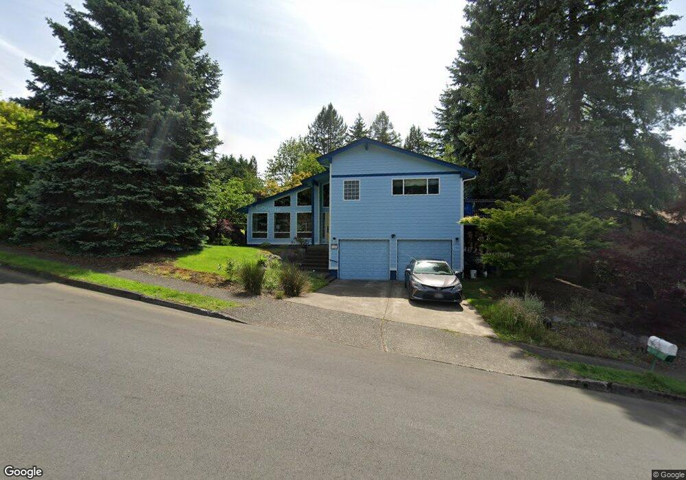
1041 SW 10th Dr Gresham, OR 97080
Gresham Butte NeighborhoodEstimated Value: $488,000 - $530,000
4
Beds
3
Baths
1,996
Sq Ft
$257/Sq Ft
Est. Value
About This Home
This home is located at 1041 SW 10th Dr, Gresham, OR 97080 and is currently estimated at $512,028, approximately $256 per square foot. 1041 SW 10th Dr is a home located in Multnomah County with nearby schools including Dexter McCarty Middle School, Gresham High School, and Gresham Arthur Academy.
Ownership History
Date
Name
Owned For
Owner Type
Purchase Details
Closed on
Jul 17, 2025
Sold by
Coffin Jeffrey H and Coffin Wendy H
Bought by
Coffin Family Trust and Coffin
Current Estimated Value
Purchase Details
Closed on
Sep 19, 2012
Sold by
Klein Pablo
Bought by
Coffin Jeffrey H and Coffin Wendy H
Home Financials for this Owner
Home Financials are based on the most recent Mortgage that was taken out on this home.
Original Mortgage
$196,000
Interest Rate
3.59%
Mortgage Type
New Conventional
Purchase Details
Closed on
Jan 25, 2007
Sold by
Oneill Patrick S
Bought by
Klein Pablo
Home Financials for this Owner
Home Financials are based on the most recent Mortgage that was taken out on this home.
Original Mortgage
$185,900
Interest Rate
6.11%
Mortgage Type
Purchase Money Mortgage
Create a Home Valuation Report for This Property
The Home Valuation Report is an in-depth analysis detailing your home's value as well as a comparison with similar homes in the area
Home Values in the Area
Average Home Value in this Area
Purchase History
| Date | Buyer | Sale Price | Title Company |
|---|---|---|---|
| Coffin Family Trust | -- | None Listed On Document | |
| Coffin Jeffrey H | $245,000 | Fidelity Natl Title Co Of Or | |
| Klein Pablo | $286,000 | Lawyers Title Ins |
Source: Public Records
Mortgage History
| Date | Status | Borrower | Loan Amount |
|---|---|---|---|
| Previous Owner | Coffin Jeffrey H | $196,000 | |
| Previous Owner | Klein Pablo | $185,900 |
Source: Public Records
Tax History
| Year | Tax Paid | Tax Assessment Tax Assessment Total Assessment is a certain percentage of the fair market value that is determined by local assessors to be the total taxable value of land and additions on the property. | Land | Improvement |
|---|---|---|---|---|
| 2025 | $6,801 | $334,220 | -- | -- |
| 2024 | $6,511 | $324,490 | -- | -- |
| 2023 | $6,511 | $315,040 | -- | -- |
| 2022 | $5,766 | $305,870 | $0 | $0 |
| 2021 | $5,621 | $296,970 | $0 | $0 |
| 2020 | $5,288 | $288,330 | $0 | $0 |
| 2019 | $5,150 | $279,940 | $0 | $0 |
| 2018 | $4,911 | $271,790 | $0 | $0 |
| 2017 | $4,711 | $263,880 | $0 | $0 |
| 2016 | $4,154 | $256,200 | $0 | $0 |
| 2015 | $4,038 | $248,740 | $0 | $0 |
| 2014 | $3,915 | $241,500 | $0 | $0 |
Source: Public Records
Map
Nearby Homes
- 1175 SW Chastain Dr
- 512 SW Eastman Pkwy Unit 13
- 419 SW Day Ct
- 1333 SW 5th Place
- 1434 SW 5th Place
- 317 SW Angeline Ave
- 1960 SW 13th Ct
- 638 SW 7th St
- 1333 SW 19th Dr
- 404 SW Riverview Ave
- 159 SW Florence Ave Unit 64
- 159 SW Florence Ave
- 1421 SW Binford Lake Pkwy
- 200 SW Florence Ave
- 2294 SW Wallula Ln
- 1441 SW 23rd Ct
- 1113 W Powell Blvd
- 625 SW Miller Ct
- 0 SW Miller Ct Unit 470855683
- 64 NW Florence Ave
- 1083 SW 10th Dr
- 1222 SW 10th Dr
- 1052 SW Wallula Dr
- 1105 SW 10th Dr
- 1248 SW 10th Dr
- 1032 SW 10th Dr Unit I45
- 1110 SW Wallula Dr
- 1060 SW 10th Dr
- 982 SW Florence Ct
- 1121 SW 10th Dr
- 1078 SW 10th Dr
- 1288 SW 10th Dr
- 999 SW Florence Ct
- 1132 SW Wallula Dr
- 1012 SW 10th Dr
- 972 SW Florence Ct
- 1102 SW 10th Dr
- 958 SW Florence Ct
- 970 SW Florence Ct
- 1257 SW 10th Dr
Your Personal Tour Guide
Ask me questions while you tour the home.