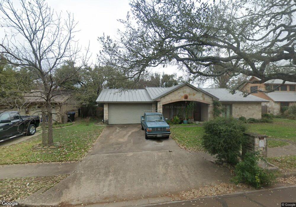
10415 Doering Ln Austin, TX 78750
Anderson Mill NeighborhoodEstimated Value: $411,548 - $467,000
--
Bed
2
Baths
1,772
Sq Ft
$251/Sq Ft
Est. Value
About This Home
This home is located at 10415 Doering Ln, Austin, TX 78750 and is currently estimated at $443,887, approximately $250 per square foot. 10415 Doering Ln is a home located in Williamson County with nearby schools including Anderson Mill Elementary School, Noel Grisham Middle, and Westwood High School.
Ownership History
Date
Name
Owned For
Owner Type
Purchase Details
Closed on
Oct 8, 2008
Sold by
Peterson Robert Lee
Bought by
Ray Nola
Current Estimated Value
Home Financials for this Owner
Home Financials are based on the most recent Mortgage that was taken out on this home.
Original Mortgage
$150,000
Interest Rate
6.46%
Mortgage Type
Purchase Money Mortgage
Create a Home Valuation Report for This Property
The Home Valuation Report is an in-depth analysis detailing your home's value as well as a comparison with similar homes in the area
Home Values in the Area
Average Home Value in this Area
Purchase History
| Date | Buyer | Sale Price | Title Company |
|---|---|---|---|
| Ray Nola | -- | Heritage Title |
Source: Public Records
Mortgage History
| Date | Status | Borrower | Loan Amount |
|---|---|---|---|
| Closed | Ray Nola | $150,000 |
Source: Public Records
Tax History Compared to Growth
Tax History
| Year | Tax Paid | Tax Assessment Tax Assessment Total Assessment is a certain percentage of the fair market value that is determined by local assessors to be the total taxable value of land and additions on the property. | Land | Improvement |
|---|---|---|---|---|
| 2025 | $3,442 | $409,286 | $88,500 | $320,786 |
| 2024 | $3,442 | $386,060 | $88,500 | $297,560 |
| 2023 | $3,705 | $410,994 | $92,000 | $318,994 |
| 2022 | $8,061 | $375,454 | $0 | $0 |
| 2021 | $8,385 | $341,322 | $72,000 | $294,612 |
| 2020 | $7,383 | $310,293 | $66,598 | $243,695 |
| 2019 | $7,386 | $301,980 | $60,700 | $241,280 |
| 2018 | $5,292 | $289,045 | $54,891 | $234,154 |
| 2017 | $6,563 | $262,922 | $51,300 | $253,748 |
| 2016 | $5,966 | $239,020 | $51,300 | $221,523 |
| 2015 | $4,778 | $217,291 | $42,100 | $182,700 |
| 2014 | $4,778 | $197,537 | $0 | $0 |
Source: Public Records
Map
Nearby Homes
- 10404 Mourning Dove Dr
- 10401 Mourning Dove Dr
- 11902 Millwright Pkwy
- 11905 Millwright Pkwy
- 10606 Mourning Dove Dr
- 10255 Missel Thrush Dr
- 10229 Missel Thrush Dr
- 12114 Scissortail Dr
- 10902 Hard Rock Rd
- 1028 Verbena Dr
- 11512 Tin Cup Dr Unit 309
- 11512 Tin Cup Dr Unit 205
- 12208 Double Tree Ln
- 10408 Firethorn Ln
- 12223 Old Stage Trail
- 11402 Pickfair Dr
- 12306 Double Tree Ln
- 11533 Sandy Loam Trail
- 11007 Opal Trail
- 12314 Double Tree Ln
- 10417 Doering Ln
- 10413 Doering Ln
- 10408 Mourning Dove Dr
- 10406 Mourning Dove Dr
- 10419 Doering Ln
- 10410 Mourning Dove Dr
- 10411 Doering Ln
- 10414 Doering Ln
- 10412 Doering Ln
- 10418 Doering Ln
- 10412 Mourning Dove Dr
- 10421 Doering Ln
- 10409 Doering Ln
- 10410 Doering Ln
- 10407 Mourning Dove Dr
- 10414 Mourning Dove Dr
- 10305 Mourning Dove Cir
- 10501 Doering Ln
- 10407 Doering Ln
- 10500 Doering Ln