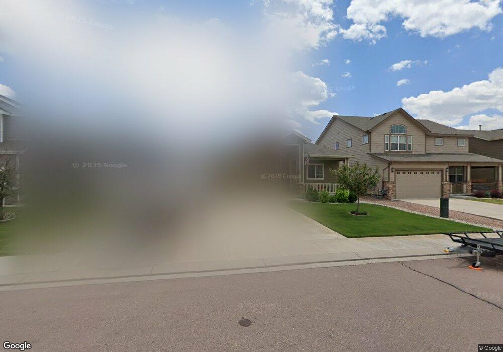
10417 Abrams Dr Colorado Springs, CO 80925
Widefield NeighborhoodEstimated Value: $451,368 - $495,000
5
Beds
3
Baths
1,560
Sq Ft
$308/Sq Ft
Est. Value
About This Home
This home is located at 10417 Abrams Dr, Colorado Springs, CO 80925 and is currently estimated at $480,592, approximately $308 per square foot. 10417 Abrams Dr is a home with nearby schools including Grand Mountain School, Mesa Ridge High School, and Valley Christian Academy.
Ownership History
Date
Name
Owned For
Owner Type
Purchase Details
Closed on
Aug 16, 2013
Sold by
Aspen View Homes Llc
Bought by
Dematto Bryan and Dematto Amanda M
Current Estimated Value
Home Financials for this Owner
Home Financials are based on the most recent Mortgage that was taken out on this home.
Original Mortgage
$266,518
Outstanding Balance
$193,387
Interest Rate
3.87%
Mortgage Type
FHA
Estimated Equity
$287,205
Create a Home Valuation Report for This Property
The Home Valuation Report is an in-depth analysis detailing your home's value as well as a comparison with similar homes in the area
Home Values in the Area
Average Home Value in this Area
Purchase History
| Date | Buyer | Sale Price | Title Company |
|---|---|---|---|
| Dematto Bryan | $271,436 | None Available |
Source: Public Records
Mortgage History
| Date | Status | Borrower | Loan Amount |
|---|---|---|---|
| Open | Dematto Bryan | $266,518 |
Source: Public Records
Tax History Compared to Growth
Tax History
| Year | Tax Paid | Tax Assessment Tax Assessment Total Assessment is a certain percentage of the fair market value that is determined by local assessors to be the total taxable value of land and additions on the property. | Land | Improvement |
|---|---|---|---|---|
| 2025 | $4,661 | $33,500 | -- | -- |
| 2024 | $4,620 | $34,670 | $6,040 | $28,630 |
| 2022 | $3,468 | $25,050 | $4,810 | $20,240 |
| 2021 | $3,612 | $25,780 | $4,950 | $20,830 |
| 2020 | $3,472 | $24,520 | $4,330 | $20,190 |
| 2019 | $3,461 | $24,520 | $4,330 | $20,190 |
| 2018 | $2,924 | $20,400 | $4,360 | $16,040 |
| 2017 | $2,985 | $20,400 | $4,360 | $16,040 |
| 2016 | $2,710 | $20,940 | $4,380 | $16,560 |
| 2015 | $2,855 | $20,940 | $4,380 | $16,560 |
| 2014 | $2,841 | $20,930 | $4,290 | $16,640 |
Source: Public Records
Map
Nearby Homes
- 10405 Abrams Dr
- 10394 Abrams Dr
- 10442 Abrams Dr
- 10604 Deer Meadow Cir
- 10525 Abrams Dr
- 6572 Justice Way
- 10634 Abrams Dr
- 10648 Desert Bloom Way
- 10732 Deer Meadow Cir
- 10670 Abrams Dr
- 10420 Deer Meadow Cir
- 10463 Desert Bloom Way
- 6579 Lamine Dr
- 10202 Abrams Dr
- 10208 Abrams Dr
- 6225 Laurel Grass Range Trail
- 6484 Chaplin Dr
- 6157 Cast Iron Dr
- 10568 Kalama Dr
- 6152 Water Trough Trail
- 10423 Abrams Dr
- 10393 Abrams Dr
- 10429 Abrams Dr
- 10420 Declaration Dr
- 10426 Declaration Dr
- 10432 Declaration Dr
- 10435 Abrams Dr
- 10387 Abrams Dr
- 10412 Abrams Dr
- 10408 Declaration Dr
- 10418 Abrams Dr
- 10424 Abrams Dr
- 10406 Abrams Dr
- 10430 Abrams Dr
- 10402 Declaration Dr
- 10438 Declaration Dr
- 10441 Abrams Dr
- 10388 Abrams Dr
- 10436 Abrams Dr
- 10382 Abrams Dr