1042 Usher Ave Sumner, IA 50674
Estimated Value: $395,000 - $787,456
3
Beds
3
Baths
3,134
Sq Ft
$179/Sq Ft
Est. Value
About This Home
This home is located at 1042 Usher Ave, Sumner, IA 50674 and is currently estimated at $560,819, approximately $178 per square foot. 1042 Usher Ave is a home located in Bremer County with nearby schools including Durant Elementary School, Sumner-Fredericksburg Middle School, and Sumner-Fredericksburg High School.
Ownership History
Date
Name
Owned For
Owner Type
Purchase Details
Closed on
Mar 12, 2009
Sold by
Anderson Donald E and Anderson Marilyn
Bought by
Nilges Larry and Nilges Karman L
Current Estimated Value
Purchase Details
Closed on
Nov 10, 2008
Sold by
Nilges Larry and Nilges Karman L
Bought by
Nilges Larry and Nilges Karman L
Create a Home Valuation Report for This Property
The Home Valuation Report is an in-depth analysis detailing your home's value as well as a comparison with similar homes in the area
Home Values in the Area
Average Home Value in this Area
Purchase History
| Date | Buyer | Sale Price | Title Company |
|---|---|---|---|
| Nilges Larry | $347,500 | None Available | |
| Nilges Larry | -- | None Available |
Source: Public Records
Mortgage History
| Date | Status | Borrower | Loan Amount |
|---|---|---|---|
| Closed | Nilges Larry | $0 |
Source: Public Records
Tax History Compared to Growth
Tax History
| Year | Tax Paid | Tax Assessment Tax Assessment Total Assessment is a certain percentage of the fair market value that is determined by local assessors to be the total taxable value of land and additions on the property. | Land | Improvement |
|---|---|---|---|---|
| 2025 | $7,056 | $664,250 | $84,980 | $579,270 |
| 2024 | $7,056 | $577,600 | $68,570 | $509,030 |
| 2023 | $7,338 | $632,690 | $68,570 | $564,120 |
| 2022 | $7,210 | $536,110 | $55,400 | $480,710 |
| 2021 | $7,060 | $536,110 | $55,400 | $480,710 |
| 2020 | $7,060 | $509,160 | $52,780 | $456,380 |
| 2019 | $6,468 | $542,940 | $0 | $0 |
| 2018 | $6,178 | $542,940 | $0 | $0 |
| 2017 | $6,248 | $564,930 | $0 | $0 |
| 2016 | $6,248 | $562,720 | $0 | $0 |
| 2015 | $6,248 | $470,680 | $0 | $0 |
| 2014 | $5,612 | $470,680 | $0 | $0 |
Source: Public Records
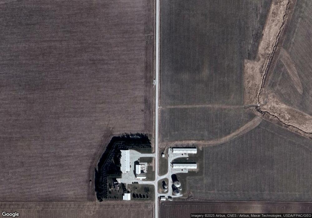
Map
Nearby Homes
- 2762 110th St
- 109 Meadow Lane Dr
- 812 W 4th St
- 330 Yard Dr
- 340 Yard Dr
- 320 Yard Dr
- 325 Yard Dr
- Lot 4 Schult Ridge & Lions Rd
- Lot 5 Schult Ridge & Lions Rd
- Lot 6 Schult Ridge & Lions Rd
- 208 W 6th St
- Lot 3 Schult Ridge & Lions Rd
- Lot 1 Schult Ridge & Lions Rd
- Lot 2 Schult Ridge & Lions Rd
- 709 W 1st St
- 207 W 5th St
- 213 N Guilford St
- 509 W 1st St
- 716 E 13th St
- 401 Birch Dr