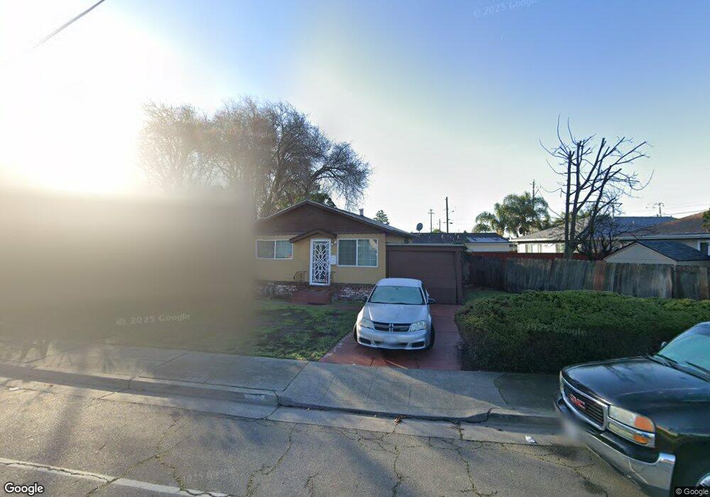
10421 Link St Oakland, CA 94603
Iveywood NeighborhoodEstimated Value: $475,000 - $558,000
2
Beds
1
Bath
720
Sq Ft
$695/Sq Ft
Est. Value
About This Home
This home is located at 10421 Link St, Oakland, CA 94603 and is currently estimated at $500,585, approximately $695 per square foot. 10421 Link St is a home located in Alameda County with nearby schools including Reach Academy, Elmhurst United Middle School, and Madison Park Academy (6-12).
Ownership History
Date
Name
Owned For
Owner Type
Purchase Details
Closed on
Feb 6, 2017
Sold by
Robinson Sadie E and The Sadie E Robinson Revocable
Bought by
Mcferren Jordon
Current Estimated Value
Home Financials for this Owner
Home Financials are based on the most recent Mortgage that was taken out on this home.
Original Mortgage
$368,207
Interest Rate
4.4%
Mortgage Type
FHA
Purchase Details
Closed on
Feb 6, 2013
Sold by
Robinson Sadie E
Bought by
Robinson Sadie E and Sadie E Robinson Revocable Tru
Purchase Details
Closed on
Nov 30, 2011
Sold by
Robinson William L and Robinson Sadie E
Bought by
Robinson Sadie E
Home Financials for this Owner
Home Financials are based on the most recent Mortgage that was taken out on this home.
Original Mortgage
$27,000
Interest Rate
3.94%
Mortgage Type
Credit Line Revolving
Create a Home Valuation Report for This Property
The Home Valuation Report is an in-depth analysis detailing your home's value as well as a comparison with similar homes in the area
Home Values in the Area
Average Home Value in this Area
Purchase History
| Date | Buyer | Sale Price | Title Company |
|---|---|---|---|
| Mcferren Jordon | $375,000 | Old Republic Title Company | |
| Robinson Sadie E | -- | None Available | |
| Robinson Sadie E | -- | Lawyers Title Company |
Source: Public Records
Mortgage History
| Date | Status | Borrower | Loan Amount |
|---|---|---|---|
| Previous Owner | Mcferren Jordon | $368,207 | |
| Previous Owner | Robinson Sadie E | $27,000 |
Source: Public Records
Tax History
| Year | Tax Paid | Tax Assessment Tax Assessment Total Assessment is a certain percentage of the fair market value that is determined by local assessors to be the total taxable value of land and additions on the property. | Land | Improvement |
|---|---|---|---|---|
| 2025 | $7,367 | $426,678 | $128,003 | $298,675 |
| 2024 | $7,367 | $418,311 | $125,493 | $292,818 |
| 2023 | $7,425 | $410,110 | $123,033 | $287,077 |
| 2022 | $7,327 | $402,070 | $120,621 | $281,449 |
| 2021 | $6,833 | $394,188 | $118,256 | $275,932 |
| 2020 | $7,004 | $390,150 | $117,045 | $273,105 |
| 2019 | $6,469 | $382,500 | $114,750 | $267,750 |
| 2018 | $6,337 | $375,000 | $112,500 | $262,500 |
| 2017 | $1,492 | $34,223 | $12,041 | $22,182 |
| 2016 | $1,339 | $33,552 | $11,805 | $21,747 |
| 2015 | $1,326 | $33,048 | $11,628 | $21,420 |
| 2014 | $1,211 | $32,400 | $11,400 | $21,000 |
Source: Public Records
Map
Nearby Homes
- 2050 102nd Ave
- 10315 Dante Ave
- 2125 102nd Ave
- 2174 107th Ave
- 2139 108th Ave
- 2220 100th Ave
- 1941 101st Ave
- 9953 Dante Ave
- 10430 Voltaire Ave
- 10504 Voltaire Ave
- 10926 Bancroft Ave
- 9425 Sunnyside St
- 1622 Tucker St Unit 66
- 9923 Birch St
- 1594 Tucker St Unit 56
- 10329 Macarthur Blvd
- 1627 104th Ave
- 1636 101st Ave
- 9850 Elmar Ave
- 2462 Taylor Ave
- 10410 Sunnyside St
- 10425 Link St
- 10400 Sunnyside St
- 2115 105th Ave
- 2125 105th Ave
- 2136 104th Ave
- 2144 104th Ave
- 2119 104th Ave
- 2115 104th Ave
- 2048 104th Ave
- 10328 Sunnyside St
- 2127 104th Ave
- 2148 104th Ave
- 2116 105th Ave
- 2124 105th Ave
- 2110 105th Ave
- 2130 105th Ave
- 2131 104th Ave
- 2100 105th Ave
- 2042 104th Ave
Your Personal Tour Guide
Ask me questions while you tour the home.