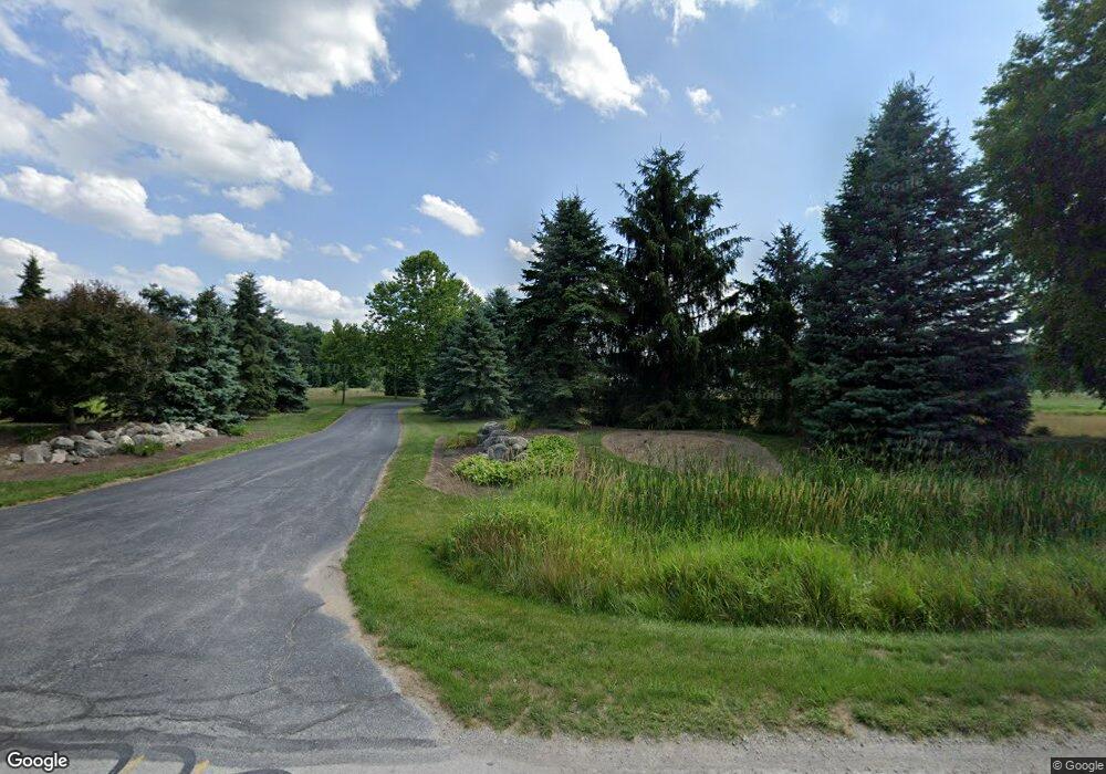
10421 Ramm Rd Whitehouse, OH 43571
Estimated Value: $800,000 - $1,977,000
4
Beds
4
Baths
4,443
Sq Ft
$328/Sq Ft
Est. Value
About This Home
This home is located at 10421 Ramm Rd, Whitehouse, OH 43571 and is currently estimated at $1,458,450, approximately $328 per square foot. 10421 Ramm Rd is a home located in Lucas County with nearby schools including Anthony Wayne High School, Lial Catholic School, and Monclova Christian Academy.
Ownership History
Date
Name
Owned For
Owner Type
Purchase Details
Closed on
Dec 20, 2011
Sold by
Brondes Phillip S
Bought by
Brondes Phillip S and Phillip S Brondes Jr Revocable Residence
Current Estimated Value
Purchase Details
Closed on
Dec 14, 2011
Sold by
Brondes Phillip S
Bought by
Brondes Phillip S and The Phillip S Brondes Jr Revocable Trust
Purchase Details
Closed on
May 31, 2011
Sold by
Rectenwald Richard A and Rectenwald Kelly J
Bought by
Brondes Phillip S
Home Financials for this Owner
Home Financials are based on the most recent Mortgage that was taken out on this home.
Original Mortgage
$417,000
Outstanding Balance
$289,888
Interest Rate
4.81%
Mortgage Type
New Conventional
Estimated Equity
$1,168,562
Purchase Details
Closed on
Aug 27, 2004
Sold by
Rectenwald Richard A and Rectenwald Kelly J
Bought by
Rectenwald Richard A and Rectenwald Kelly J
Create a Home Valuation Report for This Property
The Home Valuation Report is an in-depth analysis detailing your home's value as well as a comparison with similar homes in the area
Home Values in the Area
Average Home Value in this Area
Purchase History
| Date | Buyer | Sale Price | Title Company |
|---|---|---|---|
| Brondes Phillip S | -- | Attorney | |
| Brondes Phillip S | -- | Attorney | |
| Brondes Phillip S | $855,000 | Area Title | |
| Rectenwald Richard A | -- | -- |
Source: Public Records
Mortgage History
| Date | Status | Borrower | Loan Amount |
|---|---|---|---|
| Open | Brondes Phillip S | $417,000 |
Source: Public Records
Tax History Compared to Growth
Tax History
| Year | Tax Paid | Tax Assessment Tax Assessment Total Assessment is a certain percentage of the fair market value that is determined by local assessors to be the total taxable value of land and additions on the property. | Land | Improvement |
|---|---|---|---|---|
| 2024 | $12,657 | $503,965 | $96,915 | $407,050 |
| 2023 | $18,100 | $321,965 | $63,700 | $258,265 |
| 2022 | $18,251 | $321,965 | $63,700 | $258,265 |
| 2021 | $17,878 | $321,965 | $63,700 | $258,265 |
| 2020 | $18,724 | $290,290 | $45,465 | $244,825 |
| 2019 | $18,204 | $290,290 | $45,465 | $244,825 |
| 2018 | $18,582 | $290,290 | $45,465 | $244,825 |
| 2017 | $20,039 | $299,250 | $46,865 | $252,385 |
| 2016 | $19,849 | $855,000 | $133,900 | $721,100 |
| 2015 | $19,041 | $855,000 | $133,900 | $721,100 |
| 2014 | $18,565 | $299,260 | $46,870 | $252,390 |
| 2013 | $18,565 | $299,260 | $46,870 | $252,390 |
Source: Public Records
Map
Nearby Homes
- 5908 Finzel Rd
- 10700 Brexton Ct
- 10706 Brexton Ct
- 10701 Brexton Ct
- 10751 Brexton Ct
- 6306 Weckerly Rd
- 5935 Lynwood Ct
- 5901 Wildwood Ln
- 5641 Olive Tree Ln
- 5528 Olive Tree Ln
- 9931 Charles Glen Ln
- 6414 Lenderson Ave
- 11260 Monclova Rd
- 7002 Red Stag Ct
- 6547 Lenderson Ave
- 9437 Newbury Ln
- 9412 Newbury Ln
- 9425 Newbury Ln
- 6250 Pimlico Rd
- 6316 Pimlico Rd
