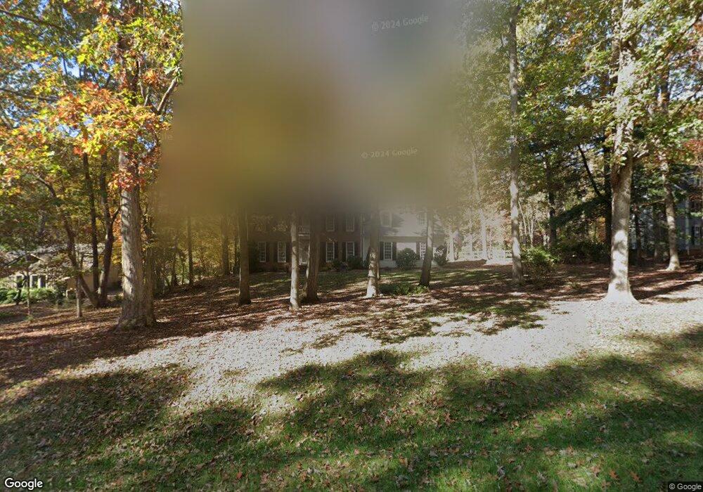
10421 Whitestone Rd Raleigh, NC 27615
Stonebridge NeighborhoodEstimated Value: $766,625 - $871,000
4
Beds
3
Baths
3,146
Sq Ft
$260/Sq Ft
Est. Value
About This Home
This home is located at 10421 Whitestone Rd, Raleigh, NC 27615 and is currently estimated at $818,156, approximately $260 per square foot. 10421 Whitestone Rd is a home located in Wake County with nearby schools including Baileywick Road Elementary School, West Millbrook Middle School, and Millbrook High School.
Ownership History
Date
Name
Owned For
Owner Type
Purchase Details
Closed on
May 29, 2006
Sold by
Boshela Don and Boshela Brenda
Bought by
Mcclure Davis A and Mcclure Cynthia W
Current Estimated Value
Home Financials for this Owner
Home Financials are based on the most recent Mortgage that was taken out on this home.
Original Mortgage
$258,000
Outstanding Balance
$150,577
Interest Rate
6.44%
Mortgage Type
Purchase Money Mortgage
Estimated Equity
$667,579
Purchase Details
Closed on
Jul 12, 2004
Sold by
Joe Richard P and Joe Mary
Bought by
Boshela Don and Boshela Brenda
Home Financials for this Owner
Home Financials are based on the most recent Mortgage that was taken out on this home.
Original Mortgage
$260,000
Interest Rate
6.25%
Mortgage Type
Purchase Money Mortgage
Create a Home Valuation Report for This Property
The Home Valuation Report is an in-depth analysis detailing your home's value as well as a comparison with similar homes in the area
Home Values in the Area
Average Home Value in this Area
Purchase History
| Date | Buyer | Sale Price | Title Company |
|---|---|---|---|
| Mcclure Davis A | $345,000 | None Available | |
| Boshela Don | $325,000 | -- |
Source: Public Records
Mortgage History
| Date | Status | Borrower | Loan Amount |
|---|---|---|---|
| Open | Mcclure Davis A | $258,000 | |
| Previous Owner | Boshela Don | $260,000 | |
| Closed | Boshela Don | $32,400 |
Source: Public Records
Tax History Compared to Growth
Tax History
| Year | Tax Paid | Tax Assessment Tax Assessment Total Assessment is a certain percentage of the fair market value that is determined by local assessors to be the total taxable value of land and additions on the property. | Land | Improvement |
|---|---|---|---|---|
| 2025 | $4,109 | $639,359 | $175,000 | $464,359 |
| 2024 | $3,990 | $639,359 | $175,000 | $464,359 |
| 2023 | $3,504 | $446,828 | $120,000 | $326,828 |
| 2022 | $3,247 | $446,828 | $120,000 | $326,828 |
| 2021 | $3,160 | $446,828 | $120,000 | $326,828 |
| 2020 | $3,108 | $446,828 | $120,000 | $326,828 |
| 2019 | $3,246 | $394,954 | $139,500 | $255,454 |
| 2018 | $2,984 | $394,954 | $139,500 | $255,454 |
| 2017 | $2,828 | $394,954 | $139,500 | $255,454 |
| 2016 | $2,771 | $394,954 | $139,500 | $255,454 |
| 2015 | $2,695 | $385,180 | $162,000 | $223,180 |
| 2014 | -- | $385,180 | $162,000 | $223,180 |
Source: Public Records
Map
Nearby Homes
- 2408 Windsor Trail
- 428 Kaywoody Ct
- 1005 Berwyn Way
- 5428 Winding View Ln
- 5204 Barton View Ct
- 14236 Wyndfield Cir
- 10029 Old Warden Rd
- 10101 Daviton Ct
- 5768 Cavanaugh Dr
- 5808 Cavanaugh Dr
- 5808 Norwood Ridge Dr
- 4008 Soaring Talon Ct
- 14020 Durant Rd
- 10909 Raven Rock Dr
- 717 Misty Isle Place
- 2705 Vestry Way
- 5101 Makena Dr
- 9709 Baileywick Rd
- 1208 Hannahs View Dr
- 812 Stradella Rd
- 10417 Whitestone Rd
- 801 Carrington Dr
- 10416 Whitestone Rd
- 10408 Whitestone Rd
- 10420 Whitestone Rd
- 10409 Whitestone Rd
- 10424 Whitestone Rd
- 10405 Whitestone Rd
- 10400 Whitestone Rd
- 809 Carrington Dr
- 800 Carrington Dr
- 10428 Whitestone Rd
- 10500 Whitestone Rd
- 804 Carrington Dr
- 800 Thatcher Way
- 10316 Whitestone Rd
- 808 Carrington Dr
- 10504 Whitestone Rd
- 808 Thatcher Way
- 10317 Whitestone Rd