10422 Alderman Rd Millfield, OH 45761
Estimated Value: $73,000 - $245,791
3
Beds
1
Bath
1,325
Sq Ft
$137/Sq Ft
Est. Value
About This Home
This home is located at 10422 Alderman Rd, Millfield, OH 45761 and is currently estimated at $181,198, approximately $136 per square foot. 10422 Alderman Rd is a home located in Athens County with nearby schools including The Plains Elementary School, Athens Middle School, and Athens High School.
Ownership History
Date
Name
Owned For
Owner Type
Purchase Details
Closed on
Jan 16, 2014
Sold by
Williams Janice and Williams Timothy M
Bought by
Mcvoyt Properties Llc
Current Estimated Value
Home Financials for this Owner
Home Financials are based on the most recent Mortgage that was taken out on this home.
Original Mortgage
$110,000
Outstanding Balance
$57,729
Interest Rate
4.42%
Mortgage Type
Future Advance Clause Open End Mortgage
Estimated Equity
$123,469
Purchase Details
Closed on
Apr 20, 2004
Sold by
Goodman Linda R and Goodman Gerald R
Bought by
Williams Janice
Purchase Details
Closed on
Mar 28, 2004
Sold by
Goodman Linda R
Bought by
Goodman Linda R and Goodman Gerald R
Purchase Details
Closed on
Mar 28, 2003
Sold by
Goodman Gerald Robert
Bought by
Goodman Linda R
Create a Home Valuation Report for This Property
The Home Valuation Report is an in-depth analysis detailing your home's value as well as a comparison with similar homes in the area
Purchase History
| Date | Buyer | Sale Price | Title Company |
|---|---|---|---|
| Mcvoyt Properties Llc | $110,000 | Attorney | |
| Williams Janice | $26,000 | -- | |
| Goodman Linda R | -- | -- | |
| Goodman Linda R | -- | -- |
Source: Public Records
Mortgage History
| Date | Status | Borrower | Loan Amount |
|---|---|---|---|
| Open | Mcvoyt Properties Llc | $110,000 |
Source: Public Records
Tax History
| Year | Tax Paid | Tax Assessment Tax Assessment Total Assessment is a certain percentage of the fair market value that is determined by local assessors to be the total taxable value of land and additions on the property. | Land | Improvement |
|---|---|---|---|---|
| 2024 | $668 | $11,090 | $11,090 | $0 |
| 2023 | $616 | $11,090 | $11,090 | $0 |
| 2022 | $592 | $10,080 | $10,080 | $0 |
| 2021 | $2,260 | $39,660 | $10,080 | $29,580 |
| 2020 | $2,288 | $39,660 | $10,080 | $29,580 |
| 2019 | $2,035 | $35,490 | $8,180 | $27,310 |
| 2018 | $2,611 | $35,490 | $8,180 | $27,310 |
| 2017 | $1,901 | $35,490 | $8,180 | $27,310 |
| 2016 | $1,808 | $32,770 | $7,440 | $25,330 |
| 2015 | $3,183 | $32,770 | $7,440 | $25,330 |
| 2014 | $3,183 | $32,770 | $7,440 | $25,330 |
| 2013 | $2,033 | $21,470 | $6,550 | $14,920 |
Source: Public Records
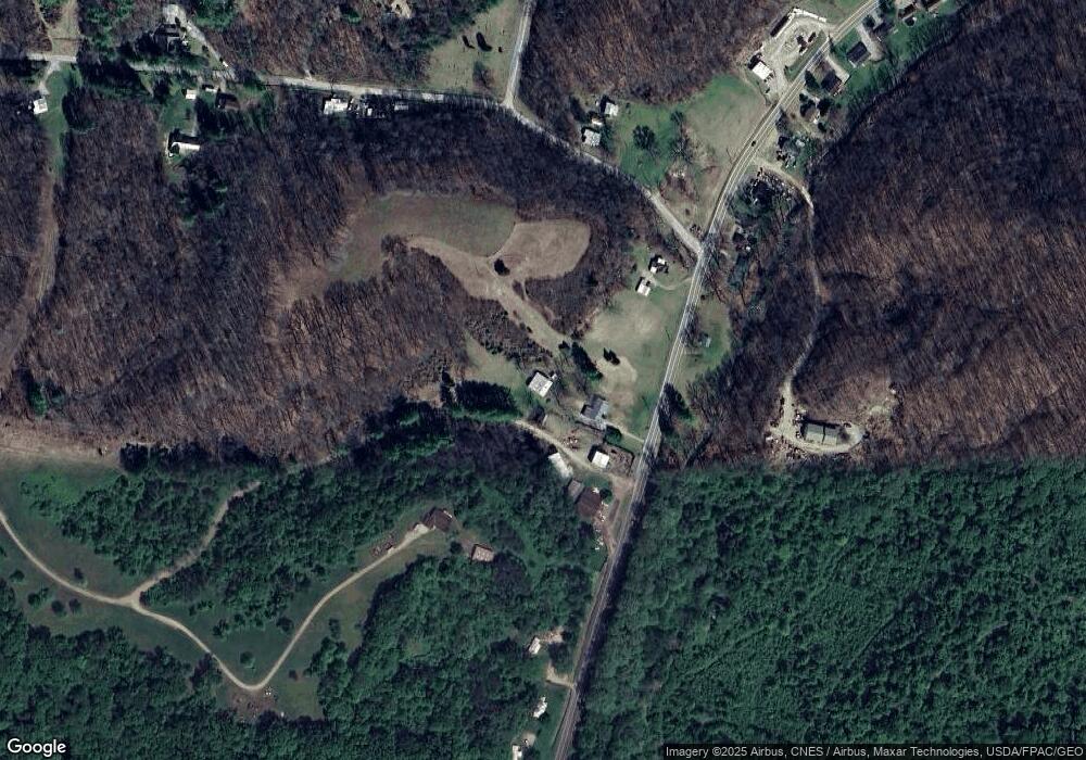
Map
Nearby Homes
- 10101 Alderman Rd
- 11711 Peach Ridge Rd
- 0 Strouds Run Unit 2433166
- 0 Columbus Rd
- 36 Johnson Rd
- 39 E 3rd St
- 24 S Clinton
- 10 Joneswood Dr
- 13 Rallen Dr
- 10 Rallen Dr
- 11 Mound St
- 11699 Channingway Blvd
- 0 Main St
- 58 Strathmore Blvd
- 44 Strathmore Blvd
- 0 Shady Ln
- 12 Mc Guffey Ln
- 12 McGuffey Ln
- 177 Grosvenor St
- 14494 Keirns Rd
- 10477 State Route 550
- 10477 Ohio 550
- 10491 Ohio 550
- 10460 State Route 550
- 10491 State Route 550
- 10461 State Route 550
- 10461 Ohio 550
- 10497 State Route 550
- 10521 State Route 550
- 10537 State Route 550
- 10547 Ohio 550
- 10547 State Route 550
- 10428 State Route 550
- 10428 State Route 550
- 10267 Alderman Rd
- 10495 State Route 550
- 10562 State Route 550
- 12259 Liars Corner Rd
- 10591 State Route 550
- 10597 State Route 550
Your Personal Tour Guide
Ask me questions while you tour the home.