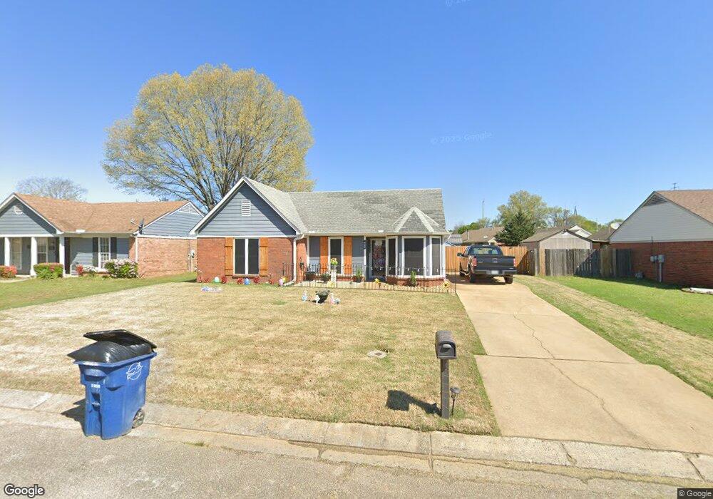
10424 Curtis Dr Olive Branch, MS 38654
Estimated Value: $202,000 - $214,000
3
Beds
2
Baths
1,137
Sq Ft
$183/Sq Ft
Est. Value
About This Home
This home is located at 10424 Curtis Dr, Olive Branch, MS 38654 and is currently estimated at $207,608, approximately $182 per square foot. 10424 Curtis Dr is a home located in DeSoto County with nearby schools including Olive Branch Elementary School, Chickasaw Elementary School, and Olive Branch Middle School.
Ownership History
Date
Name
Owned For
Owner Type
Purchase Details
Closed on
Oct 30, 2009
Sold by
Gross Kimberly F and Gross David Keith
Bought by
Gross David Alan and Gross Elizabeth Ann
Current Estimated Value
Home Financials for this Owner
Home Financials are based on the most recent Mortgage that was taken out on this home.
Original Mortgage
$96,938
Interest Rate
5.04%
Mortgage Type
New Conventional
Create a Home Valuation Report for This Property
The Home Valuation Report is an in-depth analysis detailing your home's value as well as a comparison with similar homes in the area
Home Values in the Area
Average Home Value in this Area
Purchase History
| Date | Buyer | Sale Price | Title Company |
|---|---|---|---|
| Gross David Alan | -- | First National Financial Tit |
Source: Public Records
Mortgage History
| Date | Status | Borrower | Loan Amount |
|---|---|---|---|
| Previous Owner | Gross David Alan | $96,938 |
Source: Public Records
Tax History Compared to Growth
Tax History
| Year | Tax Paid | Tax Assessment Tax Assessment Total Assessment is a certain percentage of the fair market value that is determined by local assessors to be the total taxable value of land and additions on the property. | Land | Improvement |
|---|---|---|---|---|
| 2024 | $674 | $7,052 | $1,500 | $5,552 |
| 2023 | $674 | $7,052 | $0 | $0 |
| 2022 | $674 | $7,052 | $1,500 | $5,552 |
| 2021 | $674 | $7,052 | $1,500 | $5,552 |
| 2020 | $632 | $6,608 | $1,500 | $5,108 |
| 2019 | $629 | $6,540 | $1,500 | $5,040 |
| 2017 | $614 | $11,214 | $6,357 | $4,857 |
| 2016 | $614 | $6,357 | $1,500 | $4,857 |
| 2015 | $872 | $11,214 | $6,357 | $4,857 |
| 2014 | $639 | $6,579 | $0 | $0 |
| 2013 | $612 | $6,579 | $0 | $0 |
Source: Public Records
Map
Nearby Homes
- 6729 Branch Rd S
- 10155 Riggan Dr
- 10335 Yates Dr
- 6716 Branch Rd S
- 10227 Williford Dr
- 10101 Stephenson Ln
- 10625 Kristen Dr
- 10475 Courtney Cove
- 6741 Hacks Cross Rd
- 10862 Wiseman Dr
- 9919 Adina Cove
- 9745 Riggan Dr
- 6825 Charlotte Dr
- 9800 Cherokee Dr
- 9759 Pigeon Roost Park Cir
- 9821 Morgan Manor Dr
- 6041 Allen Pkwy W
- 7582 Fox Hunt Dr E
- 10082 Lacey Dr
- 9452 Trotwood Cove
- 10410 Curtis Dr
- 10438 Curtis Dr
- 10517 Stephenson Ln
- 10473 Stephenson Cove
- 10396 Curtis Dr
- 10467 Stephenson Cove
- 10497 Stephenson Ln
- 10435 Curtis Dr
- 10421 Curtis Dr
- 10449 Curtis Dr
- 10382 Curtis Dr
- 10407 Curtis Dr
- 10477 Stephenson Ln
- 10461 Stephenson Cove
- 10393 Curtis Dr
- 10589 Stephenson Ln
- 10340 Curtis Dr
- 10532 Stephenson Ln
- 10546 Stephenson Ln
- 10379 Curtis Dr