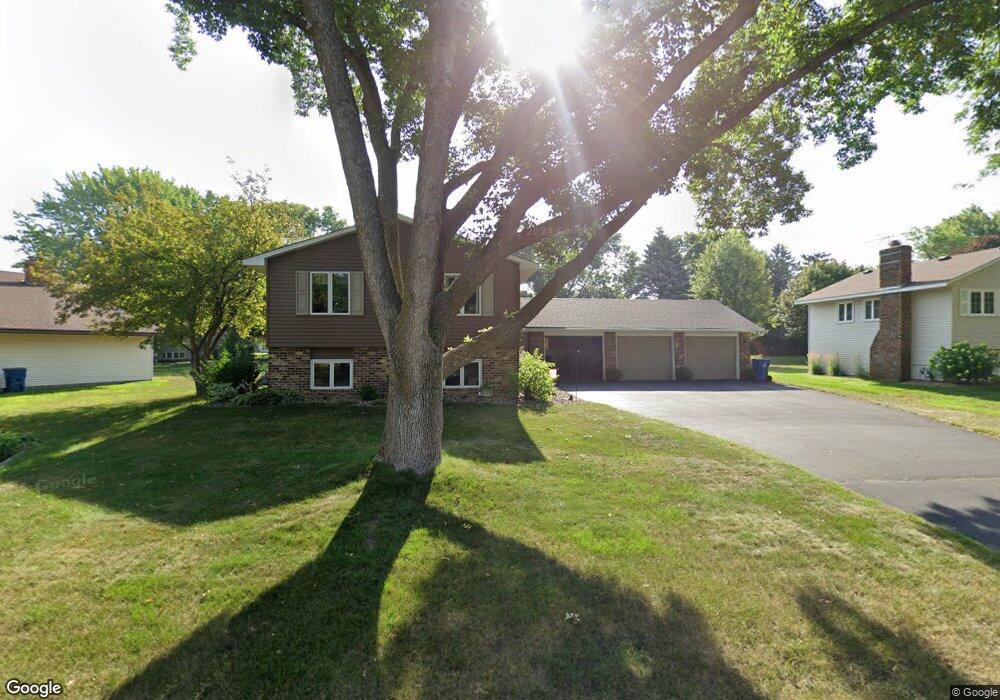
10425 Virginia Cir Bloomington, MN 55438
West Bloomington NeighborhoodEstimated Value: $406,000 - $516,000
5
Beds
3
Baths
1,339
Sq Ft
$351/Sq Ft
Est. Value
About This Home
This home is located at 10425 Virginia Cir, Bloomington, MN 55438 and is currently estimated at $469,464, approximately $350 per square foot. 10425 Virginia Cir is a home located in Hennepin County with nearby schools including Normandale Hills Elementary School, Olson Middle School, and Jefferson Senior High School.
Ownership History
Date
Name
Owned For
Owner Type
Purchase Details
Closed on
Feb 26, 2025
Sold by
Berglund James R and Berglund Joan A
Bought by
James R Berglund And Joan A Berglund Trust
Current Estimated Value
Purchase Details
Closed on
Mar 26, 2020
Sold by
Berglund James R
Bought by
Berglund James R and James R Berglund Revocable Trust
Purchase Details
Closed on
Jun 27, 2000
Sold by
Hecker James W
Bought by
Berglund James R and Berglund Joan A
Create a Home Valuation Report for This Property
The Home Valuation Report is an in-depth analysis detailing your home's value as well as a comparison with similar homes in the area
Home Values in the Area
Average Home Value in this Area
Purchase History
| Date | Buyer | Sale Price | Title Company |
|---|---|---|---|
| James R Berglund And Joan A Berglund Trust | $500 | None Listed On Document | |
| Berglund James R | -- | None Listed On Document | |
| Berglund James R | $208,000 | -- |
Source: Public Records
Tax History Compared to Growth
Tax History
| Year | Tax Paid | Tax Assessment Tax Assessment Total Assessment is a certain percentage of the fair market value that is determined by local assessors to be the total taxable value of land and additions on the property. | Land | Improvement |
|---|---|---|---|---|
| 2024 | $5,777 | $447,300 | $164,900 | $282,400 |
| 2023 | $5,554 | $457,700 | $175,300 | $282,400 |
| 2022 | $4,644 | $433,700 | $154,500 | $279,200 |
| 2021 | $4,326 | $362,600 | $136,000 | $226,600 |
| 2020 | $4,502 | $342,800 | $132,100 | $210,700 |
| 2019 | $4,207 | $346,200 | $132,100 | $214,100 |
| 2018 | $3,988 | $319,800 | $131,400 | $188,400 |
| 2017 | $3,772 | $285,200 | $118,000 | $167,200 |
| 2016 | $3,855 | $277,400 | $110,700 | $166,700 |
| 2015 | $3,743 | $260,700 | $107,400 | $153,300 |
| 2014 | -- | $242,900 | $104,100 | $138,800 |
Source: Public Records
Map
Nearby Homes
- 7920 W 107th Street Cir
- 10433 Utah Rd
- 7534 Landau Dr
- 10707 Yukon Ave S
- 10170 Utah Ave S
- 8149 W 103rd St
- 7401 Landau Dr Unit 12
- 7256 Woodstock Dr
- 10405 Decatur Ave S
- 7321 Woodstock Curve
- 10462 Decatur Ave S
- 10907 Rhode Island Ave S
- 10911 Rhode Island Ave S
- 10434 Decatur Ave S
- 7501 W 101st St Unit 310
- 7501 W 101st St Unit 107
- 7518 W 110th St
- 7525 W 110th St Unit 7
- 10561 Maryland Rd
- 7471 W 110th St
- 10501 Virginia Cir
- 10411 Virginia Cir
- 7725 Countryside Dr
- 10509 Virginia Cir
- 7719 Countryside Dr
- 10424 Virginia Cir
- 7737 Countryside Dr
- 7743 Countryside Dr
- 10432 Virginia Cir
- 10500 Virginia Cir
- 7713 Countryside Dr
- 10416 Virginia Cir
- 10408 Virginia Cir
- 10508 Virginia Cir
- 7707 Countryside Dr
- 7857 Countryside Dr
- 10517 Virginia Cir
- 10509 Wyoming Ave S
- 10501 Wyoming Ave S
- 10525 Virginia Cir