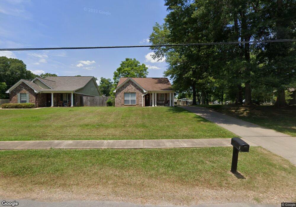
1043 West St Wesson, MS 39191
Estimated Value: $170,000 - $203,000
3
Beds
2
Baths
1,441
Sq Ft
$130/Sq Ft
Est. Value
About This Home
This home is located at 1043 West St, Wesson, MS 39191 and is currently estimated at $186,876, approximately $129 per square foot. 1043 West St is a home located in Copiah County.
Ownership History
Date
Name
Owned For
Owner Type
Purchase Details
Closed on
May 15, 2008
Sold by
White Jimmie E
Bought by
Ashley Edward L and Ashley Sharon E
Current Estimated Value
Home Financials for this Owner
Home Financials are based on the most recent Mortgage that was taken out on this home.
Original Mortgage
$135,733
Interest Rate
5.86%
Mortgage Type
Unknown
Purchase Details
Closed on
Feb 28, 2007
Sold by
Huntington David T and Huntington John W
Bought by
White Jimmie E
Home Financials for this Owner
Home Financials are based on the most recent Mortgage that was taken out on this home.
Original Mortgage
$130,000
Interest Rate
6.3%
Mortgage Type
Purchase Money Mortgage
Create a Home Valuation Report for This Property
The Home Valuation Report is an in-depth analysis detailing your home's value as well as a comparison with similar homes in the area
Purchase History
| Date | Buyer | Sale Price | Title Company |
|---|---|---|---|
| Ashley Edward L | $135,000 | -- | |
| Ashley Edward L | $135,000 | -- | |
| White Jimmie E | -- | -- |
Source: Public Records
Mortgage History
| Date | Status | Borrower | Loan Amount |
|---|---|---|---|
| Closed | Ashley Edward L | $135,733 | |
| Previous Owner | White Jimmie E | $130,000 |
Source: Public Records
Tax History
| Year | Tax Paid | Tax Assessment Tax Assessment Total Assessment is a certain percentage of the fair market value that is determined by local assessors to be the total taxable value of land and additions on the property. | Land | Improvement |
|---|---|---|---|---|
| 2025 | $523 | $13,112 | $0 | $0 |
| 2024 | $5 | $11,523 | $0 | $0 |
| 2023 | $528 | $11,523 | $0 | $0 |
| 2022 | $533 | $11,523 | $0 | $0 |
| 2021 | $520 | $11,523 | $0 | $0 |
| 2020 | $518 | $11,088 | $0 | $0 |
| 2019 | $491 | $10,865 | $0 | $0 |
| 2018 | $369 | $10,865 | $0 | $0 |
| 2017 | $346 | $10,865 | $0 | $0 |
| 2016 | $346 | $10,725 | $0 | $0 |
| 2015 | $874 | $10,725 | $0 | $0 |
| 2014 | $874 | $10,725 | $0 | $0 |
Source: Public Records
Map
Nearby Homes
- 1079 Beech St
- 0 Sawders Ln
- 1001 Lumley Ln
- 0 David Britt St
- 1119 Milltowne Dr
- 0 00 Milltowne Dr
- 0 Loom St
- 0 Milltownte Dr
- 596 Mount Zion Rd
- 589 Mount Zion Rd
- 594 Mount Zion Rd
- 2038 Rocky Hill Rd
- 0 Furrs Mill Dr NE
- 2548 Furrs Mill Dr NE
- 4001 Stegall Rd
- 0 Anderson Rd
- 4069 Dixie Rd
- 0 Linwood Ln NE
- 4069 Dixie Garden Rd
- 0 Old Hwy 51 NE
Your Personal Tour Guide
Ask me questions while you tour the home.