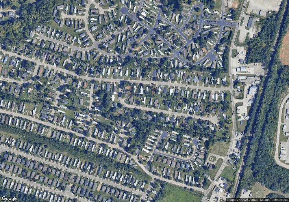
10430 Michael Dr Florence, KY 41042
Estimated Value: $111,000 - $219,000
2
Beds
2
Baths
924
Sq Ft
$175/Sq Ft
Est. Value
About This Home
This home is located at 10430 Michael Dr, Florence, KY 41042 and is currently estimated at $161,588, approximately $174 per square foot. 10430 Michael Dr is a home located in Boone County with nearby schools including Ockerman Elementary School, Jones Middle School, and Larry A. Ryle High School.
Ownership History
Date
Name
Owned For
Owner Type
Purchase Details
Closed on
Oct 25, 2019
Sold by
Claxton Kyle and Claxton Erin
Bought by
Resendiz Alberto
Current Estimated Value
Purchase Details
Closed on
Dec 21, 2018
Sold by
Meacham Scott
Bought by
Claxton Kyle
Purchase Details
Closed on
Mar 3, 2016
Sold by
Horton Larry F and Horton Larry
Bought by
Horton Larry F
Purchase Details
Closed on
Dec 22, 2000
Sold by
Bellanca Evelyn C M
Bought by
Horton Larry and Horton Sig
Home Financials for this Owner
Home Financials are based on the most recent Mortgage that was taken out on this home.
Original Mortgage
$40,000
Interest Rate
8.38%
Mortgage Type
New Conventional
Create a Home Valuation Report for This Property
The Home Valuation Report is an in-depth analysis detailing your home's value as well as a comparison with similar homes in the area
Home Values in the Area
Average Home Value in this Area
Purchase History
| Date | Buyer | Sale Price | Title Company |
|---|---|---|---|
| Resendiz Alberto | $45,000 | 360 American Title Svcs Llc | |
| Claxton Kyle | $15,000 | American Homeland Title | |
| Horton Larry F | -- | None Available | |
| Horton Larry | $50,000 | -- |
Source: Public Records
Mortgage History
| Date | Status | Borrower | Loan Amount |
|---|---|---|---|
| Previous Owner | Horton Larry | $40,000 |
Source: Public Records
Tax History Compared to Growth
Tax History
| Year | Tax Paid | Tax Assessment Tax Assessment Total Assessment is a certain percentage of the fair market value that is determined by local assessors to be the total taxable value of land and additions on the property. | Land | Improvement |
|---|---|---|---|---|
| 2024 | $549 | $45,000 | $10,000 | $35,000 |
| 2023 | $492 | $45,000 | $10,000 | $35,000 |
| 2022 | $494 | $45,000 | $10,000 | $35,000 |
| 2021 | $570 | $45,000 | $10,000 | $35,000 |
| 2020 | $504 | $45,000 | $10,000 | $35,000 |
| 2019 | $169 | $15,000 | $10,000 | $5,000 |
| 2018 | $275 | $18,300 | $10,000 | $8,300 |
| 2017 | $201 | $18,300 | $10,000 | $8,300 |
| 2015 | $194 | $18,300 | $10,000 | $8,300 |
| 2013 | -- | $18,300 | $10,000 | $8,300 |
Source: Public Records
Map
Nearby Homes
- 207 Melinda Ln
- 380 Deer Trace Dr
- 10354 Frank Duke Blvd
- 10474 Remy Ln
- 176 Maher Rd
- 460 Marian Ln Unit 3
- 10160 Carnation Ct Unit 5
- 10266 Knob Hill Dr
- 10445 Jasons Bluff
- 3 Lots Tiburon Dr
- 586 Cutter Ln
- 10208 Cedarwood Dr
- 594 Cutter Ln
- 12885 Frogtown Connector Rd
- 586 Berlander Dr
- 760 Oakridge Dr
- 611 Berlander Dr
- 10470 Travis St
- 660 Ackerly Dr
- 10015 Bent Tree Cir
- 159 Melinda Ln
- 151 Melinda Ln
- 10431 Michael Dr
- 10429 Michael Dr
- 10435 Michael Dr
- 10425 Michael Dr
- 147 Melinda Ln
- 10439 Michael Dr
- 10421 Michael Dr
- 10446 Michael Dr
- 143 Melinda Ln
- 10443 Michael Dr
- 10417 Michael Dr
- 160 Melinda Ln
- 152 Melinda Ln
- 10450 Michael Dr
- 10447 Michael Dr
- 148 Melinda Ln
- 10405 Michael Dr
- 144 Melinda Ln
