Estimated Value: $346,000 - $378,000
3
Beds
3
Baths
2,178
Sq Ft
$168/Sq Ft
Est. Value
About This Home
This home is located at 10433 Masters Dr, Union, KY 41091 and is currently estimated at $365,207, approximately $167 per square foot. 10433 Masters Dr is a home located in Boone County with nearby schools including New Haven Elementary School, Gray Middle School, and Larry A. Ryle High School.
Ownership History
Date
Name
Owned For
Owner Type
Purchase Details
Closed on
Aug 29, 2014
Sold by
Pilger Kitty C
Bought by
Sophia Wayne A and Sophia Joann
Current Estimated Value
Home Financials for this Owner
Home Financials are based on the most recent Mortgage that was taken out on this home.
Original Mortgage
$125,000
Outstanding Balance
$95,355
Interest Rate
4.2%
Mortgage Type
New Conventional
Estimated Equity
$269,852
Purchase Details
Closed on
Jun 13, 2002
Sold by
Ashley Dev Inc
Bought by
Pilger Richard T and Pilger Kitty C
Home Financials for this Owner
Home Financials are based on the most recent Mortgage that was taken out on this home.
Original Mortgage
$180,104
Interest Rate
6.77%
Mortgage Type
Balloon
Purchase Details
Closed on
Apr 16, 2001
Sold by
Bowlin Blevins
Bought by
Ashley Dev Inc
Purchase Details
Closed on
Feb 3, 2000
Sold by
Triple Crown Builders Ll
Bought by
Bowlin Blevins and Bowlin Linda C
Create a Home Valuation Report for This Property
The Home Valuation Report is an in-depth analysis detailing your home's value as well as a comparison with similar homes in the area
Home Values in the Area
Average Home Value in this Area
Purchase History
| Date | Buyer | Sale Price | Title Company |
|---|---|---|---|
| Sophia Wayne A | $187,500 | Sterling Land Title Agency I | |
| Pilger Richard T | $196,000 | -- | |
| Ashley Dev Inc | $200,000 | -- | |
| Bowlin Blevins | $210,000 | -- |
Source: Public Records
Mortgage History
| Date | Status | Borrower | Loan Amount |
|---|---|---|---|
| Open | Sophia Wayne A | $125,000 | |
| Previous Owner | Pilger Richard T | $180,104 | |
| Closed | Bowlin Blevins | -- |
Source: Public Records
Tax History
| Year | Tax Paid | Tax Assessment Tax Assessment Total Assessment is a certain percentage of the fair market value that is determined by local assessors to be the total taxable value of land and additions on the property. | Land | Improvement |
|---|---|---|---|---|
| 2025 | $2,879 | $300,000 | $20,000 | $280,000 |
| 2024 | $2,159 | $236,100 | $20,000 | $216,100 |
| 2023 | $2,159 | $236,100 | $20,000 | $216,100 |
| 2022 | $2,196 | $236,100 | $20,000 | $216,100 |
| 2021 | $1,729 | $187,500 | $0 | $187,500 |
| 2020 | $1,697 | $187,500 | $0 | $187,500 |
| 2019 | $1,717 | $187,500 | $0 | $187,500 |
| 2018 | $1,785 | $187,500 | $0 | $187,500 |
| 2017 | $1,710 | $187,500 | $0 | $187,500 |
| 2015 | $1,697 | $187,500 | $0 | $187,500 |
| 2013 | -- | $196,000 | $196,000 | $0 |
Source: Public Records
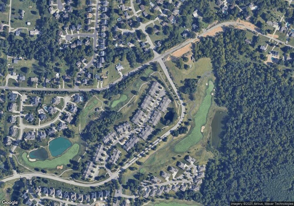
Map
Nearby Homes
- 10138 Ash Creek Dr
- 10653 Chenery Cove
- 10664 Turcotte Ct
- 10713 Meadow Stable Ln
- 809 Hancock Ct
- 10756 Station Ln
- 854 Hancock Ct
- 10803 Muirfield Ct
- 650 Elyse Way
- 10802 Doral Ct
- 10281 Cardigan Dr
- 1253 Edinburgh Ln
- 10282 Hempsteade Dr
- 10878 Saint Andrews Dr
- 10070 Cedarwood Dr
- 12885 Frogtown Connector Rd
- 10869 Arcaro Ln
- 10730 Stone St
- 10771 Crown Pointe Dr
- 701 Keeneland Green Dr
- 10429 Masters Dr
- 10437 Masters Dr
- 10437 Masters Dr Unit 6B
- 10425 Masters Dr
- 10425 Masters Dr Unit 6E
- 10441 Masters Dr
- 10417 Masters Dr
- 10449 Masters Dr
- 10413 Masters Dr
- 10413 Masters Dr Unit 7B
- 10453 Masters Dr
- 10438 Masters Dr
- 10409 Masters Dr
- 10409 Masters Dr Unit 7C
- 10428 Masters Dr
- 10442 Masters Dr
- 10457 Masters Dr
- 10426 Masters Dr
- 10422 Masters Dr
- 10410 Masters Dr
Your Personal Tour Guide
Ask me questions while you tour the home.