10435 Latting Rd Cordova, TN 38016
Gray's Creek NeighborhoodEstimated Value: $394,000 - $516,000
5
Beds
3
Baths
3,943
Sq Ft
$121/Sq Ft
Est. Value
About This Home
This home is located at 10435 Latting Rd, Cordova, TN 38016 and is currently estimated at $475,861, approximately $120 per square foot. 10435 Latting Rd is a home located in Shelby County with nearby schools including Macon-Hall Elementary School, Mt. Pisgah Middle School, and Bolton High School.
Ownership History
Date
Name
Owned For
Owner Type
Purchase Details
Closed on
Nov 22, 2016
Sold by
Pitts Dedric L
Bought by
Pitts Teresa R
Current Estimated Value
Home Financials for this Owner
Home Financials are based on the most recent Mortgage that was taken out on this home.
Original Mortgage
$130,000
Outstanding Balance
$104,695
Interest Rate
3.52%
Mortgage Type
New Conventional
Estimated Equity
$371,166
Purchase Details
Closed on
May 4, 1999
Sold by
Florence Powell
Bought by
Edwards Reginald and Edwards Patricia
Home Financials for this Owner
Home Financials are based on the most recent Mortgage that was taken out on this home.
Original Mortgage
$281,592
Interest Rate
7.66%
Create a Home Valuation Report for This Property
The Home Valuation Report is an in-depth analysis detailing your home's value as well as a comparison with similar homes in the area
Home Values in the Area
Average Home Value in this Area
Purchase History
| Date | Buyer | Sale Price | Title Company |
|---|---|---|---|
| Pitts Teresa R | -- | None Available | |
| Edwards Reginald | $3,575 | -- |
Source: Public Records
Mortgage History
| Date | Status | Borrower | Loan Amount |
|---|---|---|---|
| Open | Pitts Teresa R | $130,000 | |
| Previous Owner | Edwards Reginald | $281,592 |
Source: Public Records
Tax History Compared to Growth
Tax History
| Year | Tax Paid | Tax Assessment Tax Assessment Total Assessment is a certain percentage of the fair market value that is determined by local assessors to be the total taxable value of land and additions on the property. | Land | Improvement |
|---|---|---|---|---|
| 2025 | $3,334 | $133,950 | $40,000 | $93,950 |
| 2024 | $3,334 | $98,350 | $40,000 | $58,350 |
| 2023 | $3,334 | $98,350 | $40,000 | $58,350 |
| 2022 | $3,334 | $98,350 | $40,000 | $58,350 |
| 2021 | $3,393 | $98,350 | $40,000 | $58,350 |
| 2020 | $3,139 | $77,500 | $36,075 | $41,425 |
| 2019 | $3,139 | $77,500 | $36,075 | $41,425 |
| 2018 | $3,139 | $77,500 | $36,075 | $41,425 |
| 2017 | $3,185 | $77,500 | $36,075 | $41,425 |
| 2016 | $3,805 | $87,075 | $0 | $0 |
| 2014 | $3,805 | $87,075 | $0 | $0 |
Source: Public Records
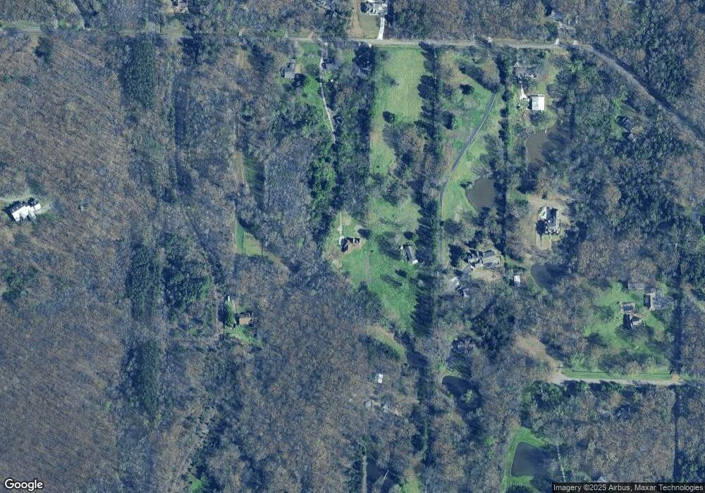
Map
Nearby Homes
- 10454 Latting Rd
- 1698 Pisgah Rd
- 1663 N Pisgah Rd
- 1636 Stable Run Dr
- 1649 Brimhill Ln
- 10481 Mabry Mill Rd
- 10879 Latting Rd
- 9960 Oban Dr
- 10021 Branley Oak Dr
- 1830 Speyburn Cove
- 1898 Glen Turret Dr
- 10133 Lynham Dr
- 9931 Chivas Dr
- 1832 Talisker Dr
- 1480 Pemberton Ln
- 10098 Sutton Ridge Ln
- 10423 Redmond Dr
- 1818 N Houston Levee Rd
- 1802 N Houston Levee Rd
- 1419 Sawmill Creek Ln
- 10455 Latting Rd
- 10383 Latting Rd
- 10487 Latting Rd
- 10489 Latting Rd
- 10425 Latting Rd
- 10395 Latting Rd
- 10391 Latting Rd
- 10387 Latting Rd
- 10500 Jared Michael Ln
- 10414 Latting Rd
- 10495 Latting Rd
- 10305 Latting Rd
- 10370 Latting Rd
- 10388 Latting Rd
- 10450 Latting Rd
- 10480 Latting Rd
- 10564 Jared Michael Ln
- 10490 Latting Rd
- 10585 Latting Rd
- 2070 Clarke Landing Dr