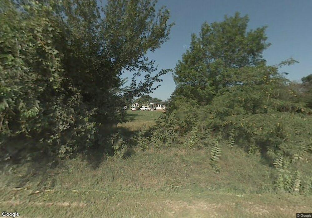
10439 SW Jordan Rd Wakarusa, KS 66546
Estimated Value: $214,000 - $1,146,000
3
Beds
2
Baths
1,056
Sq Ft
$458/Sq Ft
Est. Value
About This Home
This home is located at 10439 SW Jordan Rd, Wakarusa, KS 66546 and is currently estimated at $484,171, approximately $458 per square foot. 10439 SW Jordan Rd is a home located in Shawnee County with nearby schools including Pauline Central Primary School, Pauline South Intermediate School, and Washburn Rural Middle School.
Ownership History
Date
Name
Owned For
Owner Type
Purchase Details
Closed on
Sep 18, 2023
Sold by
Dailey Athena M
Bought by
Dailey Matthew L
Current Estimated Value
Purchase Details
Closed on
Oct 26, 2007
Sold by
Emporia Rv Park Llc
Bought by
Dailey Matthew L and Dailey Athena M
Home Financials for this Owner
Home Financials are based on the most recent Mortgage that was taken out on this home.
Original Mortgage
$113,500
Interest Rate
6.32%
Mortgage Type
New Conventional
Purchase Details
Closed on
Mar 15, 2007
Sold by
Commerce Bank And Trust
Bought by
Emporia Rv Park Llc
Home Financials for this Owner
Home Financials are based on the most recent Mortgage that was taken out on this home.
Original Mortgage
$63,711
Interest Rate
6.32%
Mortgage Type
Purchase Money Mortgage
Create a Home Valuation Report for This Property
The Home Valuation Report is an in-depth analysis detailing your home's value as well as a comparison with similar homes in the area
Home Values in the Area
Average Home Value in this Area
Purchase History
| Date | Buyer | Sale Price | Title Company |
|---|---|---|---|
| Dailey Matthew L | -- | None Listed On Document | |
| Dailey Matthew L | -- | Kansas Secured Title | |
| Emporia Rv Park Llc | -- | Kansas Secured Title |
Source: Public Records
Mortgage History
| Date | Status | Borrower | Loan Amount |
|---|---|---|---|
| Previous Owner | Dailey Matthew L | $113,500 | |
| Previous Owner | Emporia Rv Park Llc | $63,711 |
Source: Public Records
Tax History Compared to Growth
Tax History
| Year | Tax Paid | Tax Assessment Tax Assessment Total Assessment is a certain percentage of the fair market value that is determined by local assessors to be the total taxable value of land and additions on the property. | Land | Improvement |
|---|---|---|---|---|
| 2025 | $2,683 | $20,234 | -- | -- |
| 2023 | $2,683 | $18,707 | $0 | $0 |
| 2022 | $2,342 | $16,703 | $0 | $0 |
| 2021 | $2,041 | $14,781 | $0 | $0 |
| 2020 | $1,895 | $14,077 | $0 | $0 |
| 2019 | $1,841 | $13,667 | $0 | $0 |
| 2018 | $1,781 | $13,269 | $0 | $0 |
| 2017 | $1,769 | $13,009 | $0 | $0 |
| 2014 | $1,739 | $12,753 | $0 | $0 |
Source: Public Records
Map
Nearby Homes
- 9534 SW Topeka Blvd
- 00000 W 117th St
- 11933 S Topeka Ave
- 750 SE 93rd St
- 00 SW 85th St
- 0 SE Adams St
- 5720 SW 93rd St
- 00000 S Topeka Ave
- 618 Fourth Street Terrace
- 13450 S Topeka Ave
- 529 Melody Ct
- 2831 SE 101st St
- 8412 SE California Ave
- 314 Wilson St
- 304 Clay Ave
- 727 Teresa Ct
- 11108 S Berryton Rd
- 7130 SW Lario Ln
- 310 Lyter Ct
- 113 W Ridgeway St
- 10521 SW Jordan Rd
- 10343 SW Jordan Rd
- 1547 SW 103rd St
- 10525 SW Jordan Rd
- 1905 SW 103rd St
- 10620 SW Jordan Rd
- 10543 SW Jordan Rd
- 1439 SW 103rd St
- 1911 SW 103rd St
- 10621 SW Jordan Rd
- 1349 SW 103rd St
- 2131 SW 103rd St
- 10630 SW Jordan Rd
- 2229 SW 103rd St
- 935 SW Coker Rd
- 1146 SW Coker Rd
- 1035 SW Coker Rd
- 10724 SW Jordan Rd
- 10151 SW Jordan Rd
- 10145 SW Jordan Rd
