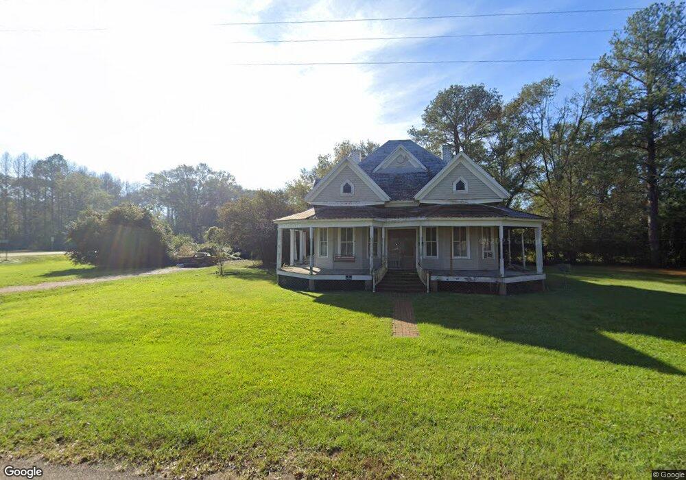
1044 Broad St Georgetown, MS 39078
Estimated Value: $99,000 - $187,000
4
Beds
2
Baths
2,348
Sq Ft
$54/Sq Ft
Est. Value
About This Home
This home is located at 1044 Broad St, Georgetown, MS 39078 and is currently estimated at $126,844, approximately $54 per square foot. 1044 Broad St is a home located in Copiah County with nearby schools including Crystal Springs Elementary School, Crystal Springs Middle School, and Crystal Springs High School.
Ownership History
Date
Name
Owned For
Owner Type
Purchase Details
Closed on
May 14, 2025
Sold by
Slay Dwaine
Bought by
Taylor Raymond
Current Estimated Value
Home Financials for this Owner
Home Financials are based on the most recent Mortgage that was taken out on this home.
Original Mortgage
$95,000
Outstanding Balance
$94,577
Interest Rate
6.64%
Mortgage Type
Seller Take Back
Estimated Equity
$32,267
Purchase Details
Closed on
May 18, 2023
Sold by
Tom Crane Properties Llc
Bought by
Glasper Antonio
Purchase Details
Closed on
Apr 28, 2023
Sold by
Slay Dwaine C
Bought by
Tom Crane Properties Llc
Purchase Details
Closed on
Nov 30, 2022
Sold by
Tom Crane Properties Llc
Bought by
Slay Dwaine C
Create a Home Valuation Report for This Property
The Home Valuation Report is an in-depth analysis detailing your home's value as well as a comparison with similar homes in the area
Purchase History
| Date | Buyer | Sale Price | Title Company |
|---|---|---|---|
| Taylor Raymond | -- | None Listed On Document | |
| Glasper Antonio | -- | Team Title Llc | |
| Tom Crane Properties Llc | -- | None Listed On Document | |
| Slay Dwaine C | -- | -- |
Source: Public Records
Mortgage History
| Date | Status | Borrower | Loan Amount |
|---|---|---|---|
| Open | Taylor Raymond | $95,000 |
Source: Public Records
Tax History
| Year | Tax Paid | Tax Assessment Tax Assessment Total Assessment is a certain percentage of the fair market value that is determined by local assessors to be the total taxable value of land and additions on the property. | Land | Improvement |
|---|---|---|---|---|
| 2025 | $922 | $7,199 | $0 | $0 |
| 2024 | $922 | $6,225 | $0 | $0 |
| 2023 | $930 | $6,225 | $0 | $0 |
| 2022 | $829 | $5,499 | $0 | $0 |
| 2021 | $810 | $5,499 | $0 | $0 |
| 2020 | $777 | $5,174 | $0 | $0 |
| 2019 | $785 | $5,174 | $0 | $0 |
| 2018 | $1,237 | $8,234 | $0 | $0 |
| 2017 | $934 | $5,489 | $0 | $0 |
| 2016 | $934 | $6,401 | $0 | $0 |
| 2015 | -- | $6,401 | $0 | $0 |
| 2014 | -- | $6,401 | $0 | $0 |
Source: Public Records
Map
Nearby Homes
- 0 Broad St
- 9307a Mississippi 28
- 866 Old River Rd
- 133 Beaman Dr
- 11040 Highway 472
- 589 Simpson Highway 28 W
- 163 Haney Rd
- 00 Lee Bass Rd
- 0 Lee Bass Rd Unit 4139875
- 0 Lee Bass Rd Unit 26689803
- 543 Lee Bass Rd
- 135 472 Hwy
- 0 Lower Rockport Rd
- Rockport New Hebron Rd
- 0 Harmony Rd
- 1002 Poplar Springs Rd
- 0 Poplar Springs Rd
- 0 Hwy 27 Unit 23890335
- 0 Whitetown Ln
- 1 Mississippi 478
- 10115 Mississippi 27
- 1036 Broad St
- 0000 Mississippi 27
- 6061 Mississippi 27
- 1035 Broad St
- 1052 Broad St
- 1024 W Poplar St
- 10105 Highway 27
- 1027 Broad St
- 0 Poplar St
- 1017 W Poplar St
- 1014 W Poplar St
- 1015 W Poplar St
- 2002 Peach Tree Rd
- 0 Mississippi 27 Unit 4052753
- 0 Mississippi 27 Unit 327882
- 0 Mississippi 27 Unit 1-096-27-011.01
- 1131 Railroad Ave
- 1012 W Poplar St
- 1129 Railroad Ave
Your Personal Tour Guide
Ask me questions while you tour the home.