1044 Crockett Loop S Hernando, MS 38632
Estimated Value: $458,457 - $584,000
3
Beds
3
Baths
3,080
Sq Ft
$167/Sq Ft
Est. Value
About This Home
This home is located at 1044 Crockett Loop S, Hernando, MS 38632 and is currently estimated at $515,486, approximately $167 per square foot. 1044 Crockett Loop S is a home located in DeSoto County with nearby schools including Oak Grove Central Elementary School, Hernando Elementary School, and Hernando Hills Elementary.
Ownership History
Date
Name
Owned For
Owner Type
Purchase Details
Closed on
Jun 13, 2023
Sold by
Grafton Patricia M
Bought by
Cunningham Marty R Mcdaniel
Current Estimated Value
Purchase Details
Closed on
May 11, 2018
Sold by
Crenshaw Rhonda
Bought by
Crenshaw Rhonda and Crenshaw William Daniel
Purchase Details
Closed on
Aug 31, 2010
Sold by
Federal National Mortgage Association
Bought by
Crenshaw Rhonda
Home Financials for this Owner
Home Financials are based on the most recent Mortgage that was taken out on this home.
Original Mortgage
$182,516
Interest Rate
4.38%
Mortgage Type
FHA
Create a Home Valuation Report for This Property
The Home Valuation Report is an in-depth analysis detailing your home's value as well as a comparison with similar homes in the area
Home Values in the Area
Average Home Value in this Area
Purchase History
| Date | Buyer | Sale Price | Title Company |
|---|---|---|---|
| Cunningham Marty R Mcdaniel | -- | None Listed On Document | |
| Crenshaw Rhonda | -- | None Available | |
| Crenshaw Rhonda | -- | First National Title Llc |
Source: Public Records
Mortgage History
| Date | Status | Borrower | Loan Amount |
|---|---|---|---|
| Previous Owner | Crenshaw Rhonda | $182,516 |
Source: Public Records
Tax History
| Year | Tax Paid | Tax Assessment Tax Assessment Total Assessment is a certain percentage of the fair market value that is determined by local assessors to be the total taxable value of land and additions on the property. | Land | Improvement |
|---|---|---|---|---|
| 2025 | $2,353 | $31,773 | $3,500 | $28,273 |
| 2024 | $2,010 | $23,101 | $3,500 | $19,601 |
| 2023 | $2,010 | $23,101 | $0 | $0 |
| 2022 | $2,010 | $23,101 | $3,500 | $19,601 |
| 2021 | $2,010 | $23,101 | $3,500 | $19,601 |
| 2020 | $1,853 | $21,532 | $0 | $0 |
| 2019 | $2,153 | $21,532 | $3,500 | $18,032 |
| 2017 | $1,813 | $38,470 | $20,985 | $17,485 |
| 2016 | $1,813 | $20,985 | $3,500 | $17,485 |
| 2015 | $2,113 | $38,470 | $20,985 | $17,485 |
| 2014 | $1,813 | $20,985 | $0 | $0 |
| 2013 | $1,920 | $20,985 | $0 | $0 |
Source: Public Records
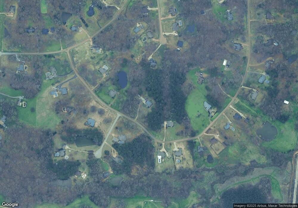
Map
Nearby Homes
- 193 Crockett Loop E
- 732 Shadow View Dr
- 5157 U S 51
- 5153 U S 51
- 5163 U S 51
- 5135 U S 51
- 5147 U S 51
- 5167 U S 51
- 5093 U S 51
- 2 A U S Highway 51
- 2c U S Highway 51
- 00 Hwy 51 N State White Oak St
- 0 Highway 51 N
- 0 S Old Hwy 51 Unit 4105246
- 1123 Peggy Cove
- 1107 Sabrina Dr
- 470 Beacon Hill Dr
- 148 Forked Creek Pkwy
- 67 Shady Lane Cove E
- 521 Abey Ln
- 996 Crockett Loop S
- 223 Fawn Cove
- 1104 Crockett Loop S
- 372 Buck Cove
- 37 Buck Cove
- 997 Crockett Loop S
- 1146 Crockett Loop S
- 309 Crockett Loop E
- 993 Crockett Loop S
- 367 Crockett Loop E
- 369 Buck Cove
- 1206 Erato Loop
- 212 Fawn Cove
- 189 Fawn Cove
- 189 Fawn Dr N
- 987 Crockett Loop S
- 162 Boone Dr N
- 378 Crockett Loop E
- 1143 Boone Dr
- 190 Fawn Cove
Your Personal Tour Guide
Ask me questions while you tour the home.