10444 Bar Ranch Rd Auburn, CA 95603
Estimated Value: $785,000 - $1,437,000
3
Beds
3
Baths
2,295
Sq Ft
$429/Sq Ft
Est. Value
About This Home
This home is located at 10444 Bar Ranch Rd, Auburn, CA 95603 and is currently estimated at $984,739, approximately $429 per square foot. 10444 Bar Ranch Rd is a home located in Placer County with nearby schools including Auburn Elementary School, Placer High School, and EV Cain Middle.
Ownership History
Date
Name
Owned For
Owner Type
Purchase Details
Closed on
Mar 18, 1998
Sold by
Classon and Jane
Bought by
Uzelac Lawrence S and Uzelac Theresa M
Current Estimated Value
Home Financials for this Owner
Home Financials are based on the most recent Mortgage that was taken out on this home.
Original Mortgage
$170,000
Outstanding Balance
$31,209
Interest Rate
7.06%
Mortgage Type
Purchase Money Mortgage
Estimated Equity
$953,530
Create a Home Valuation Report for This Property
The Home Valuation Report is an in-depth analysis detailing your home's value as well as a comparison with similar homes in the area
Home Values in the Area
Average Home Value in this Area
Purchase History
| Date | Buyer | Sale Price | Title Company |
|---|---|---|---|
| Uzelac Lawrence S | $300,000 | Placer Title Company |
Source: Public Records
Mortgage History
| Date | Status | Borrower | Loan Amount |
|---|---|---|---|
| Open | Uzelac Lawrence S | $170,000 |
Source: Public Records
Tax History Compared to Growth
Tax History
| Year | Tax Paid | Tax Assessment Tax Assessment Total Assessment is a certain percentage of the fair market value that is determined by local assessors to be the total taxable value of land and additions on the property. | Land | Improvement |
|---|---|---|---|---|
| 2025 | $4,932 | $478,995 | $159,660 | $319,335 |
| 2023 | $4,932 | $460,397 | $153,461 | $306,936 |
| 2022 | $4,853 | $451,370 | $150,452 | $300,918 |
| 2021 | $4,680 | $442,520 | $147,502 | $295,018 |
| 2020 | $4,647 | $437,983 | $145,990 | $291,993 |
| 2019 | $4,561 | $429,396 | $143,128 | $286,268 |
| 2018 | $4,315 | $420,977 | $140,322 | $280,655 |
| 2017 | $4,238 | $412,723 | $137,571 | $275,152 |
| 2016 | $4,148 | $404,631 | $134,874 | $269,757 |
| 2015 | $4,048 | $398,554 | $132,849 | $265,705 |
| 2014 | $3,986 | $390,748 | $130,247 | $260,501 |
Source: Public Records
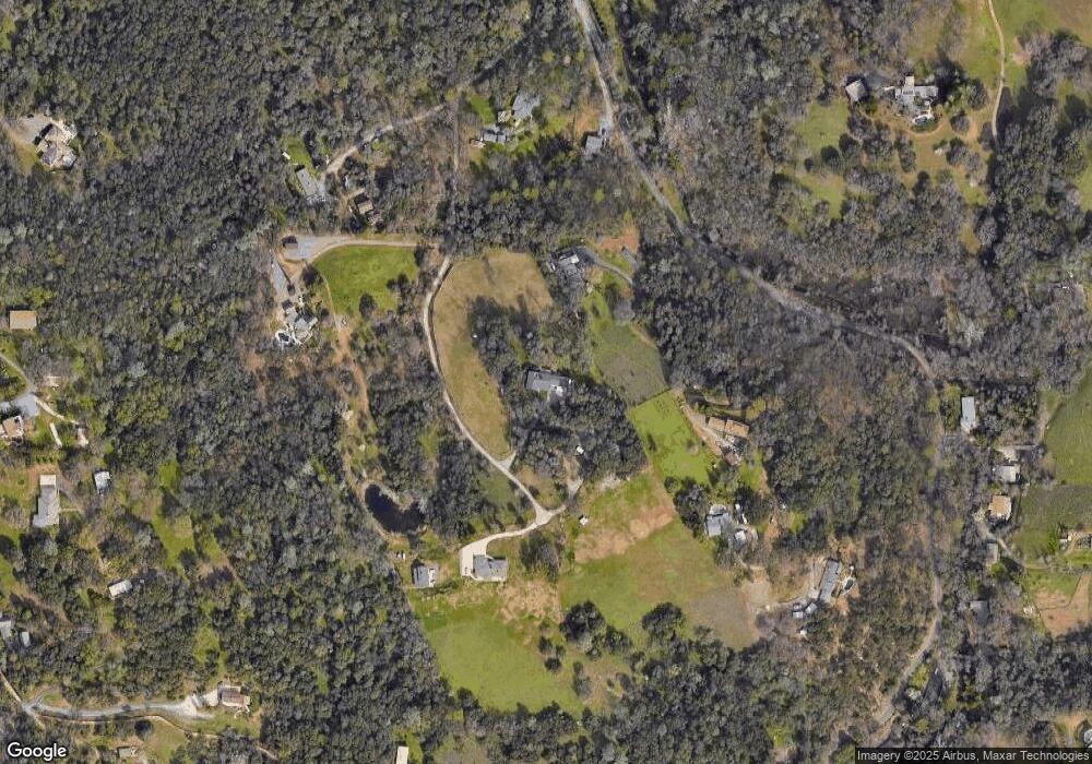
Map
Nearby Homes
- 0 Millertown Rd Unit 225116242
- 800 Millertown Rd
- 11100 Valle Vista Ct
- 0 Eclipse Mine Way
- 10157 Moran Dr
- 10899 Ophir Rd
- 303 Stone House Rd
- 11853 Mount Vernon Rd
- 11203 Welty Ln
- 2620 Vineyard Dr
- 9455 Wise Rd
- 1240 Live Oak Ln
- 1257 Live Oak Ln
- 420 Miles Ct
- 465 Miles Ct
- 2500 Beacon Hill Dr
- 63 Goldenrod Ave
- 280 Fulweiler Ave
- 23 Larkspur Ave
- 156 Circle Dr
- 10438 Bar Ranch Rd
- 10500 Blue Grass Trail
- 10428 Bar Ranch Rd
- 10570 Blue Grass Trail
- 1315 Millertown Rd
- 10447 Bar Ranch Rd
- 10710 Blue Grass Trail
- 10498 Bar Ranch Rd
- 10477 Bar Ranch Rd
- 1330 Millertown Rd
- 10685 Blue Grass Trail
- 10497 Bar Ranch Rd
- 1220 Millertown Rd
- 1420 Millertown Rd
- 10425 Blue Light Ln
- 10570 Star Thistle Ln
- 1500 Millertown Rd
- 1440 Millertown Rd
- 999999 Millertown Rd
- 1200 Millertown Rd