1044R Washington St Gloucester, MA 01930
Estimated Value: $879,000 - $1,899,000
1
Bed
1
Bath
1,100
Sq Ft
$1,404/Sq Ft
Est. Value
About This Home
This home is located at 1044R Washington St, Gloucester, MA 01930 and is currently estimated at $1,544,352, approximately $1,403 per square foot. 1044R Washington St is a home located in Essex County with nearby schools including Plum Cove School, Ralph B O'maley Middle School, and Gloucester High School.
Ownership History
Date
Name
Owned For
Owner Type
Purchase Details
Closed on
Apr 20, 2016
Sold by
Rzepka Charles J and Rzepka Jane R
Bought by
Rzepka Charles J and Rzepka Jane R
Current Estimated Value
Purchase Details
Closed on
Nov 16, 1994
Sold by
Bartram Doris Est
Bought by
Rzepka Charles J and Rzepka Jane
Home Financials for this Owner
Home Financials are based on the most recent Mortgage that was taken out on this home.
Original Mortgage
$100,000
Interest Rate
8.9%
Mortgage Type
Purchase Money Mortgage
Create a Home Valuation Report for This Property
The Home Valuation Report is an in-depth analysis detailing your home's value as well as a comparison with similar homes in the area
Home Values in the Area
Average Home Value in this Area
Purchase History
| Date | Buyer | Sale Price | Title Company |
|---|---|---|---|
| Rzepka Charles J | -- | -- | |
| Rzepka Charles J | $210,000 | -- |
Source: Public Records
Mortgage History
| Date | Status | Borrower | Loan Amount |
|---|---|---|---|
| Previous Owner | Rzepka Charles J | $100,000 |
Source: Public Records
Tax History Compared to Growth
Tax History
| Year | Tax Paid | Tax Assessment Tax Assessment Total Assessment is a certain percentage of the fair market value that is determined by local assessors to be the total taxable value of land and additions on the property. | Land | Improvement |
|---|---|---|---|---|
| 2025 | $17,536 | $1,802,300 | $1,358,800 | $443,500 |
| 2024 | $17,536 | $1,802,300 | $1,358,800 | $443,500 |
| 2023 | $16,320 | $1,541,100 | $1,160,000 | $381,100 |
| 2022 | $15,831 | $1,349,600 | $1,009,200 | $340,400 |
| 2021 | $15,256 | $1,226,400 | $917,100 | $309,300 |
| 2020 | $14,917 | $1,209,800 | $917,100 | $292,700 |
| 2019 | $14,218 | $1,120,400 | $874,500 | $245,900 |
| 2018 | $13,773 | $1,065,200 | $853,100 | $212,100 |
| 2017 | $13,429 | $1,018,100 | $812,800 | $205,300 |
| 2016 | $12,868 | $945,500 | $776,900 | $168,600 |
| 2015 | $12,487 | $914,800 | $759,300 | $155,500 |
Source: Public Records
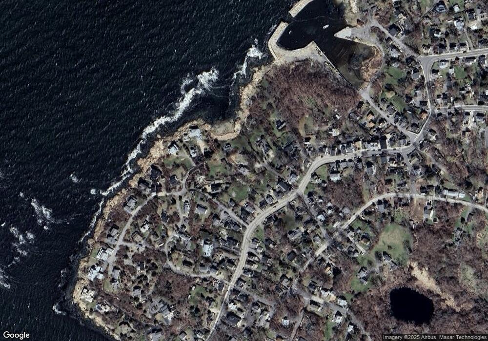
Map
Nearby Homes
- 6 Mount Locust Place Unit 2
- 2 Norseman Ave
- 962 Washington St
- 3 Colburn St
- 3 Colburn St Unit 2
- 3 Colburn St Unit 1
- 25 Stockholm Ave
- 79 Dennison St
- 6 River Rd
- 13 Phillips Ave
- 165 Granite St
- 26 Quarry Ridge Ln
- 2 Wharf Rd
- 672 Washington St
- 2 Boulder Top
- 73 Phillips Ave
- 1 Doctors Run
- 13 Rowe Point
- 226 Atlantic St
- 123 Main St Unit 2
- 1044 Washington St
- 1044R Washington St
- 1042 Washington St
- 56 Rowley Shore
- 1046 Washington St
- 58 Rowley Shore
- 1046R Washington St
- 62 Rowley Shore
- 1040 Washington St
- 1036 Washington St
- 1038 Washington St
- 1034 Washington St
- 37 Rowley Shore
- 1030 Washington St
- 1048R Washington St
- 1048R Washington St
- 1048 Washington St
- 52 Rowley Shore
- 54 Rowley Shore
- 1055 Washington St