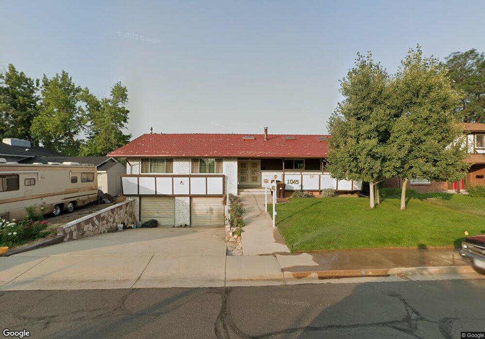
1045 Emerald St Broomfield, CO 80020
Broomfield Heights NeighborhoodEstimated Value: $666,000 - $797,000
4
Beds
3
Baths
3,658
Sq Ft
$199/Sq Ft
Est. Value
About This Home
This home is located at 1045 Emerald St, Broomfield, CO 80020 and is currently estimated at $727,818, approximately $198 per square foot. 1045 Emerald St is a home located in Broomfield County with nearby schools including Kohl Elementary School, Broomfield Heights Middle School, and Broomfield High School.
Ownership History
Date
Name
Owned For
Owner Type
Purchase Details
Closed on
Jun 9, 2018
Sold by
Th Erober F Law Family Trust
Bought by
The Robert E Law Family Trust
Current Estimated Value
Purchase Details
Closed on
Dec 21, 2007
Sold by
Law Robert
Bought by
Robert E Law Family Trust
Purchase Details
Closed on
Jun 27, 1984
Create a Home Valuation Report for This Property
The Home Valuation Report is an in-depth analysis detailing your home's value as well as a comparison with similar homes in the area
Home Values in the Area
Average Home Value in this Area
Purchase History
| Date | Buyer | Sale Price | Title Company |
|---|---|---|---|
| The Robert E Law Family Trust | -- | None Available | |
| Robert E Law Family Trust | -- | None Available | |
| -- | $138,000 | -- |
Source: Public Records
Tax History
| Year | Tax Paid | Tax Assessment Tax Assessment Total Assessment is a certain percentage of the fair market value that is determined by local assessors to be the total taxable value of land and additions on the property. | Land | Improvement |
|---|---|---|---|---|
| 2025 | $4,042 | $51,470 | $9,050 | $42,420 |
| 2024 | $4,042 | $49,830 | $8,420 | $41,410 |
| 2023 | $4,033 | $55,510 | $9,380 | $46,130 |
| 2022 | $3,123 | $39,250 | $6,600 | $32,650 |
| 2021 | $3,107 | $40,380 | $6,790 | $33,590 |
| 2020 | $3,101 | $40,110 | $6,080 | $34,030 |
| 2019 | $3,095 | $40,390 | $6,120 | $34,270 |
| 2018 | $2,613 | $34,880 | $4,570 | $30,310 |
| 2017 | $2,573 | $38,560 | $5,050 | $33,510 |
| 2016 | $2,337 | $32,740 | $5,050 | $27,690 |
| 2015 | $2,256 | $25,080 | $5,050 | $20,030 |
| 2014 | $1,593 | $25,080 | $5,050 | $20,030 |
Source: Public Records
Map
Nearby Homes
- 1075 Emerald St
- 1422 Madero St Unit C17
- 1320 Holly Dr E
- 870 Hemlock Way
- 1350 Holly Dr W
- 1370 Daphne St
- 1166 Opal St Unit 104
- 740 Lotus Way
- 1190 Opal St Unit 101
- 1190 Opal St Unit 104
- 865 Nickel St
- 1130 Opal St Unit 104
- 1123 Oakhurst Dr
- 1118 Oakhurst Dr
- 1606 Iris St
- 1624 Flint Ct
- 2102 Ridge Dr
- 1018 Depot Hill Rd
- 1660 Emerald St
- 37 E 14th Place
Your Personal Tour Guide
Ask me questions while you tour the home.