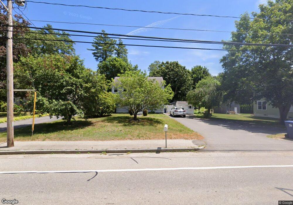
1045 Monponsett St Hanson, MA 02341
Estimated Value: $445,000 - $572,000
3
Beds
2
Baths
1,620
Sq Ft
$321/Sq Ft
Est. Value
About This Home
This home is located at 1045 Monponsett St, Hanson, MA 02341 and is currently estimated at $520,472, approximately $321 per square foot. 1045 Monponsett St is a home located in Plymouth County.
Ownership History
Date
Name
Owned For
Owner Type
Purchase Details
Closed on
Apr 16, 2003
Sold by
Burt Stephen A and Foley Brenda A
Bought by
Burt Stephen A and Burt Brenda A
Current Estimated Value
Home Financials for this Owner
Home Financials are based on the most recent Mortgage that was taken out on this home.
Original Mortgage
$145,000
Outstanding Balance
$62,291
Interest Rate
5.75%
Mortgage Type
Purchase Money Mortgage
Estimated Equity
$458,181
Create a Home Valuation Report for This Property
The Home Valuation Report is an in-depth analysis detailing your home's value as well as a comparison with similar homes in the area
Home Values in the Area
Average Home Value in this Area
Purchase History
| Date | Buyer | Sale Price | Title Company |
|---|---|---|---|
| Burt Stephen A | -- | -- |
Source: Public Records
Mortgage History
| Date | Status | Borrower | Loan Amount |
|---|---|---|---|
| Open | Burt Stephen A | $145,000 | |
| Previous Owner | Burt Stephen A | $18,000 |
Source: Public Records
Tax History Compared to Growth
Tax History
| Year | Tax Paid | Tax Assessment Tax Assessment Total Assessment is a certain percentage of the fair market value that is determined by local assessors to be the total taxable value of land and additions on the property. | Land | Improvement |
|---|---|---|---|---|
| 2025 | $6,139 | $458,800 | $159,900 | $298,900 |
| 2024 | $6,012 | $449,300 | $155,300 | $294,000 |
| 2023 | $5,695 | $401,600 | $155,300 | $246,300 |
| 2022 | $5,514 | $365,400 | $141,200 | $224,200 |
| 2021 | $4,924 | $326,100 | $135,800 | $190,300 |
| 2020 | $4,848 | $317,500 | $131,100 | $186,400 |
| 2019 | $4,411 | $284,000 | $114,300 | $169,700 |
| 2018 | $4,358 | $275,300 | $109,900 | $165,400 |
| 2017 | $4,225 | $264,400 | $104,700 | $159,700 |
| 2016 | $4,295 | $259,500 | $104,700 | $154,800 |
| 2015 | $4,069 | $255,600 | $104,700 | $150,900 |
Source: Public Records
Map
Nearby Homes
- 1041 Monponsett St
- 1067 Monponsett St
- 3 Bow St
- 1054 Monponsett St
- 20 Gold St
- 1066 Monponsett St
- 671 Monponsett St
- 48 Short St
- 11 Bow St
- 3 Pine St
- 1027 Monponsett St
- 1030 Monponsett St
- 58 Pine St N
- 6 Bow St
- lot 00 Monponsett St
- 15 Bow St
- 1017 Monponsett St
- 61 Pine St N
- 664 Monponsett St
- 1020 Monponsett St