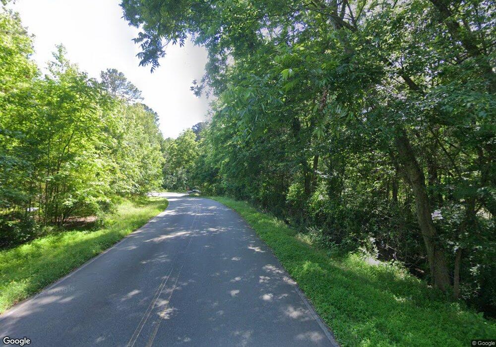
1045 Pittsboro Fire Tower Rd Pittsboro, NC 27312
Estimated Value: $721,000 - $1,050,000
3
Beds
2
Baths
3,595
Sq Ft
$245/Sq Ft
Est. Value
About This Home
This home is located at 1045 Pittsboro Fire Tower Rd, Pittsboro, NC 27312 and is currently estimated at $880,375, approximately $244 per square foot. 1045 Pittsboro Fire Tower Rd is a home with nearby schools including Pittsboro Elementary School, George Moses Horton Middle School, and Northwood High.
Ownership History
Date
Name
Owned For
Owner Type
Purchase Details
Closed on
May 29, 2018
Sold by
Spencer Sanya T and Spencer James
Bought by
Evans Jermanie K
Current Estimated Value
Purchase Details
Closed on
May 26, 2017
Sold by
Stone George and Stone Dalton
Bought by
Evans Jermaine Kashif
Purchase Details
Closed on
Dec 6, 2016
Sold by
Burnett David R
Bought by
Evans Jermaine
Purchase Details
Closed on
Nov 20, 2000
Sold by
Stone Massie Lee Heirs
Bought by
Stone Massie Lee Heirs
Create a Home Valuation Report for This Property
The Home Valuation Report is an in-depth analysis detailing your home's value as well as a comparison with similar homes in the area
Home Values in the Area
Average Home Value in this Area
Purchase History
| Date | Buyer | Sale Price | Title Company |
|---|---|---|---|
| Evans Jermanie K | -- | None Available | |
| Evans Jermaine Kashif | -- | None Available | |
| Evans Jermaine | -- | Attorney | |
| Stone Massie Lee Heirs | -- | -- |
Source: Public Records
Tax History Compared to Growth
Tax History
| Year | Tax Paid | Tax Assessment Tax Assessment Total Assessment is a certain percentage of the fair market value that is determined by local assessors to be the total taxable value of land and additions on the property. | Land | Improvement |
|---|---|---|---|---|
| 2024 | $5,791 | $534,743 | $63,700 | $471,043 |
| 2023 | $4,776 | $534,743 | $63,700 | $471,043 |
| 2022 | $4,357 | $534,743 | $63,700 | $471,043 |
| 2021 | $4,357 | $534,743 | $63,700 | $471,043 |
| 2020 | $3,752 | $457,654 | $49,509 | $408,145 |
| 2019 | $1,120 | $297,272 | $43,884 | $253,388 |
| 2018 | $329 | $141,341 | $43,884 | $97,457 |
| 2017 | $329 | $43,884 | $43,884 | $0 |
| 2016 | $243 | $32,107 | $32,107 | $0 |
| 2015 | $239 | $32,107 | $32,107 | $0 |
| 2014 | -- | $32,107 | $32,107 | $0 |
| 2013 | -- | $32,107 | $32,107 | $0 |
Source: Public Records
Map
Nearby Homes
- 186 Millennium Dr
- 322 Bellemont Rd
- 710 Vine Pkwy
- 11 Allgood St
- 34 Millennium Dr
- 36 Somerleigh Way
- 371 Chatham Forest Dr
- 291 Wendover Pkwy
- 283 Wendover Pkwy
- 122 Norwell Ln
- 1157 Hillsboro St
- 49 Lesley Ct
- 24 Cynthia Ln
- 54 Pattishall Rd
- 154 Beacon Dr
- 320 Beacon Dr
- 328 Beacon Dr
- 41 Cottage Way
- 226 Beacon Dr
- 213 Beacon Dr
- 0 Pittsboro Fire Tower Rd Unit 1678939
- 0 Pittsboro Fire Tower Rd Unit 10 TR1678939
- 79 Tom Womble Rd
- 83 Tom Womble Rd
- 107 Tom Womble Rd
- 831 Fire Tower Rd
- 76 Tom Womble Rd
- 127 Tom Womble Rd
- 856 Fire Tower Rd
- 231 Tom Womble Rd
- 28 Tom Womble Rd
- 201 Tom Womble Rd
- 710 Fire Tower Rd
- 689 Fire Tower Rd
- 122 Autumn Gate St
- 836 Fire Tower Rd
- 287 Tom Womble Rd
- 285 Tom Womble Rd
- 68 Harriet Watson Rd
- 89 Autumn Gate St
