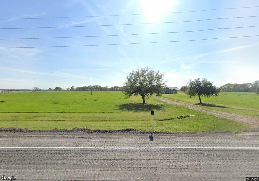
10450 Bushnell Rd Needville, TX 77461
Estimated Value: $412,251 - $514,000
4
Beds
2
Baths
2,270
Sq Ft
$198/Sq Ft
Est. Value
About This Home
This home is located at 10450 Bushnell Rd, Needville, TX 77461 and is currently estimated at $450,563, approximately $198 per square foot. 10450 Bushnell Rd is a home located in Fort Bend County with nearby schools including Needville Elementary School, Needville Junior High School, and Needville Middle School.
Ownership History
Date
Name
Owned For
Owner Type
Purchase Details
Closed on
Nov 6, 1998
Sold by
Banker Janna Kay and Banker Don Elliott
Bought by
Horky Raymond J and Horky Joan M
Current Estimated Value
Home Financials for this Owner
Home Financials are based on the most recent Mortgage that was taken out on this home.
Original Mortgage
$75,000
Outstanding Balance
$16,818
Interest Rate
6.9%
Estimated Equity
$433,745
Create a Home Valuation Report for This Property
The Home Valuation Report is an in-depth analysis detailing your home's value as well as a comparison with similar homes in the area
Home Values in the Area
Average Home Value in this Area
Purchase History
| Date | Buyer | Sale Price | Title Company |
|---|---|---|---|
| Horky Raymond J | -- | Rosenberg Title Co |
Source: Public Records
Mortgage History
| Date | Status | Borrower | Loan Amount |
|---|---|---|---|
| Open | Horky Raymond J | $75,000 |
Source: Public Records
Tax History Compared to Growth
Tax History
| Year | Tax Paid | Tax Assessment Tax Assessment Total Assessment is a certain percentage of the fair market value that is determined by local assessors to be the total taxable value of land and additions on the property. | Land | Improvement |
|---|---|---|---|---|
| 2025 | $3,356 | $368,500 | $6,640 | $361,860 |
| 2024 | $3,356 | $384,780 | -- | $416,147 |
| 2023 | $3,175 | $349,800 | $0 | $376,206 |
| 2022 | $4,870 | $318,000 | $6,640 | $311,360 |
| 2021 | $6,226 | $308,000 | $6,560 | $301,440 |
| 2020 | $6,105 | $302,000 | $6,560 | $295,440 |
| 2019 | $6,302 | $293,520 | $6,560 | $286,960 |
| 2018 | $4,497 | $268,450 | $6,560 | $261,890 |
| 2017 | $4,942 | $258,920 | $4,800 | $254,120 |
| 2016 | $5,573 | $259,060 | $4,600 | $254,460 |
| 2015 | $4,785 | $247,540 | $4,780 | $242,760 |
| 2014 | $4,536 | $225,040 | $4,780 | $220,260 |
Source: Public Records
Map
Nearby Homes
- 17002A Pleasant Rd
- 15924 Fm 442 Rd
- 0 Hurta Rd
- 12427 Westview Cir
- 18760 Farm To Market Road 442
- 19231 Fm 442 Rd
- 0 Routt Point Rd Unit 66272295
- LOT 1 Routt Point Rd
- LOT 2 Routt Point Rd
- LOT 3 Routt Point Rd
- LOT 4 Routt Point Rd
- LOT 5 Routt Point Rd
- 00 Hurta
- 8520 Spell Rd
- 19216 Fm 442 Rd
- TBD01 Moody Rd
- 14942 Moody Rd
- 14624 Dove Ln
- 8813 Altimore Rd
- 8903 Milby St
- 10410 Fm 1236 Rr Rd
- 10305 Fm 1236 Rd
- 10512 Bushnell Rd
- 10511 Bushnell Rd
- 16625 Hurta Rd
- 16625 Hurta Rd
- 16625 Hurta Rd
- 10519 Bushnell Rd
- 16611 Hurta Rd
- 10521 Bushnell Rd
- 10525 Bushnell Rd
- 16609 Hurta Rd
- 17119 Pleasant Rd
- 10605 Bushnell Rd
- 10520 Bushnell Rd
- 17123 Pleasant Rd
- 10517 Bushnell Rd
- 10602 Bushnell Rd
- 17127 Pleasant Rd
- 10920 Bushnell Rd