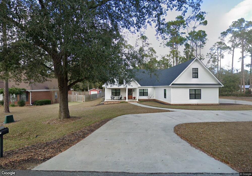
1046 Boxwood Dr Bainbridge, GA 39819
Estimated Value: $336,000 - $399,000
--
Bed
--
Bath
2,210
Sq Ft
$160/Sq Ft
Est. Value
About This Home
This home is located at 1046 Boxwood Dr, Bainbridge, GA 39819 and is currently estimated at $354,690, approximately $160 per square foot. 1046 Boxwood Dr is a home with nearby schools including Bainbridge High School and Grace Christian Academy.
Ownership History
Date
Name
Owned For
Owner Type
Purchase Details
Closed on
Oct 13, 2020
Sold by
Donalson Richard A
Bought by
Farrington Winde B and Farrington Thomas Brent
Current Estimated Value
Home Financials for this Owner
Home Financials are based on the most recent Mortgage that was taken out on this home.
Original Mortgage
$237,000
Interest Rate
2.8%
Mortgage Type
New Conventional
Purchase Details
Closed on
Mar 8, 2006
Sold by
R L Rich & Co
Bought by
Donalson Richard A
Create a Home Valuation Report for This Property
The Home Valuation Report is an in-depth analysis detailing your home's value as well as a comparison with similar homes in the area
Home Values in the Area
Average Home Value in this Area
Purchase History
| Date | Buyer | Sale Price | Title Company |
|---|---|---|---|
| Farrington Winde B | $68,000 | -- | |
| Donalson Richard A | $28,500 | -- |
Source: Public Records
Mortgage History
| Date | Status | Borrower | Loan Amount |
|---|---|---|---|
| Closed | Farrington Winde B | $237,000 |
Source: Public Records
Tax History Compared to Growth
Tax History
| Year | Tax Paid | Tax Assessment Tax Assessment Total Assessment is a certain percentage of the fair market value that is determined by local assessors to be the total taxable value of land and additions on the property. | Land | Improvement |
|---|---|---|---|---|
| 2024 | $4,330 | $136,978 | $12,000 | $124,978 |
| 2023 | $4,317 | $136,978 | $12,000 | $124,978 |
| 2022 | $4,103 | $133,018 | $12,000 | $121,018 |
| 2021 | $1,140 | $36,000 | $12,000 | $24,000 |
| 2020 | $401 | $12,000 | $12,000 | $0 |
| 2019 | $417 | $12,000 | $12,000 | $0 |
| 2018 | $412 | $12,000 | $12,000 | $0 |
| 2017 | $420 | $12,000 | $12,000 | $0 |
| 2016 | $420 | $12,000 | $12,000 | $0 |
| 2015 | $431 | $12,000 | $12,000 | $0 |
| 2014 | $400 | $12,000 | $12,000 | $0 |
| 2013 | -- | $12,000 | $12,000 | $0 |
Source: Public Records
Map
Nearby Homes
- 1907 Gragg St
- 1810 Lake Douglas Rd
- 168 Douglas Pointe Dr
- 1107 Douglas Dr
- 1009 Douglas Dr
- 1702 Culbreth St
- 1109 Quail Run
- 1402 Pineland Dr
- 117 Wynn Ct
- 173 Wynn Ct
- 168 Wynn Ct
- 1512 Douglas Dr
- 121 Wynn Ct
- 328 Michaels Way
- The Lismore Plan at Southgate
- The Cali Plan at Southgate
- 152 Wynn Ct
- 156 Wynn Ct
- 160 Wynn Ct
- 164 Wynn Ct