1046 Carl Bramlett Rd Winder, GA 30680
Estimated Value: $561,000 - $771,075
5
Beds
5
Baths
3,918
Sq Ft
$179/Sq Ft
Est. Value
About This Home
This home is located at 1046 Carl Bramlett Rd, Winder, GA 30680 and is currently estimated at $701,025, approximately $178 per square foot. 1046 Carl Bramlett Rd is a home located in Barrow County with nearby schools including Bramlett Elementary School, Russell Middle School, and Winder-Barrow High School.
Ownership History
Date
Name
Owned For
Owner Type
Purchase Details
Closed on
Mar 31, 2025
Sold by
Bramlett Steven M
Bought by
Bramlett Dana K
Current Estimated Value
Home Financials for this Owner
Home Financials are based on the most recent Mortgage that was taken out on this home.
Original Mortgage
$860,376
Outstanding Balance
$799,229
Interest Rate
6.76%
Mortgage Type
New Conventional
Estimated Equity
-$98,204
Create a Home Valuation Report for This Property
The Home Valuation Report is an in-depth analysis detailing your home's value as well as a comparison with similar homes in the area
Home Values in the Area
Average Home Value in this Area
Purchase History
| Date | Buyer | Sale Price | Title Company |
|---|---|---|---|
| Bramlett Dana K | -- | -- | |
| Bramlett Dana K | -- | -- |
Source: Public Records
Mortgage History
| Date | Status | Borrower | Loan Amount |
|---|---|---|---|
| Open | Bramlett Dana K | $860,376 |
Source: Public Records
Tax History Compared to Growth
Tax History
| Year | Tax Paid | Tax Assessment Tax Assessment Total Assessment is a certain percentage of the fair market value that is determined by local assessors to be the total taxable value of land and additions on the property. | Land | Improvement |
|---|---|---|---|---|
| 2024 | $6,172 | $275,895 | $19,222 | $256,673 |
| 2023 | $5,717 | $275,895 | $19,222 | $256,673 |
| 2022 | $5,533 | $206,935 | $19,222 | $187,713 |
| 2021 | $5,439 | $189,522 | $15,378 | $174,144 |
| 2020 | $5,319 | $184,108 | $9,964 | $174,144 |
| 2019 | $5,363 | $182,020 | $9,964 | $172,056 |
| 2018 | $5,330 | $182,101 | $9,964 | $172,137 |
| 2017 | $4,673 | $160,480 | $9,964 | $150,516 |
| 2016 | $4,381 | $149,034 | $9,964 | $139,070 |
| 2015 | $4,449 | $169,942 | $29,328 | $140,614 |
| 2014 | $4,758 | $156,434 | $14,371 | $142,063 |
| 2013 | -- | $148,284 | $14,370 | $133,914 |
Source: Public Records
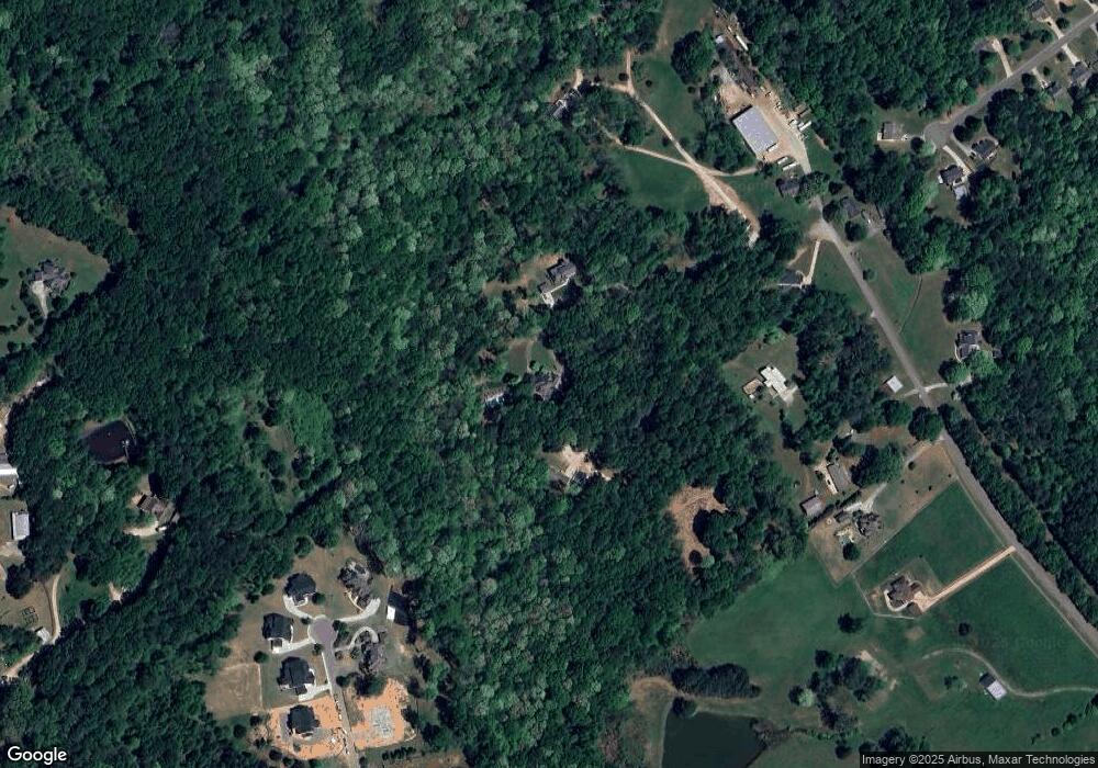
Map
Nearby Homes
- 555 Versailles Dr
- 817 Kenwood Ln
- 1420 Flanagan Mill Dr
- 0 Dee Kennedy Rd Unit 10591909
- 0 Dee Kennedy Rd Unit 7638996
- 641 Freeman Brock Rd
- 127 Deer Canyon Dr
- 101 Deer Canyon Dr
- 37 Deer Canyon Dr
- 23 Deer Canyon Dr
- 1037 Rolling Ridge Ln
- 1197 Dee Kennedy Rd
- 156 Rocky Ridge Way
- 112 Rocking Wood Dr
- 24 Rocking Wood Dr
- 1020 Easy St
- 1022 Cyperts Trail
- 787 Murphy Rd
- 1036 Carl Bramlett Rd
- 1042 Carl Bramlett Rd
- 567 Versailles Dr
- 1020 Carl Bramlett Rd
- 1060 Carl Bramlett Rd
- 568 Versailles Dr
- 565 Versailles Dr
- 563 Versailles Dr
- 1000 Carl Bramlett Rd
- 1041 Carl Bramlett Rd
- 1093 Dee Kennedy Rd
- 1019 Carl Bramlett Rd
- 566 Versailles Dr
- 564 Versailles Dr
- 829 Kenwood Ln
- 988 Carl Bramlett Rd
- 830 Kenwood Ln
- 664 Rosebud Ln
- 557 Versailles Dr
- 660 Rosebud Ln